Rolling Fork in Sharkey County, Mississippi — The American South (East South Central)
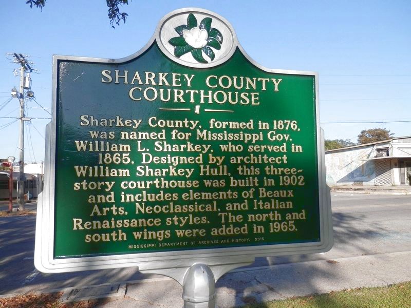
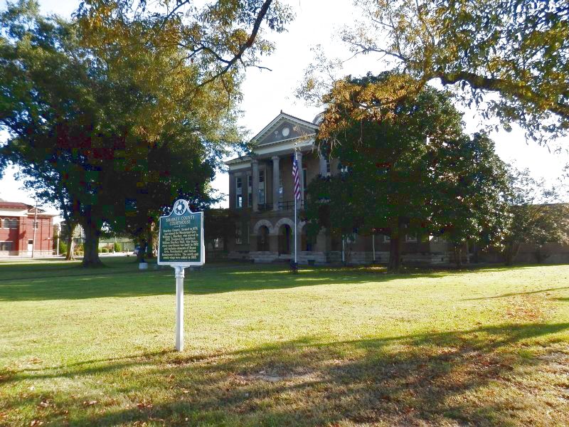
Sharkey County Courthouse
Sharkey County, formed in 1876, was named for Mississippi Gov. William L. Sharkey, who served in 1865. Designed by architect William Sharkey Hull, this three- story courthouse was built in 1902 and includes elements of Beaux Arts, Neoclassical, and Italian Renaissance styles. The north and south wings were added in 1965.
Erected 2015 by Mississippi Department of Archives and History.
Topics and series. This historical marker is listed in these topic lists: Architecture • Government & Politics. In addition, it is included in the Mississippi State Historical Marker Program series list.
Location. 32° 54.464′ N, 90° 52.657′ W. Marker is in Rolling Fork, Mississippi, in Sharkey County. Marker is on Locust Street near Elm Street, on the right when traveling south. Touch for map. Marker is at or near this postal address: 120 Locust St, Rolling Fork MS 39159, United States of America. Touch for directions.
Other nearby markers. At least 8 other markers are within 8 miles of this marker, measured as the crow flies. What is a Shotgun Shack? (about 300 feet away, measured in a direct line); Muddy Waters (about 300 feet away); The Story of Teddy Bears (about 400 feet away); Rolling Fork Mounds (approx. 0.8 miles away); Carter Mounds (approx. 1.2 miles away); Anguilla Mound (approx. 5 miles away); Grace Mounds (approx. 7.8 miles away); Cary Mounds (approx. 7.9 miles away). Touch for a list and map of all markers in Rolling Fork.
Credits. This page was last revised on October 8, 2020. It was originally submitted on October 8, 2020, by Cajun Scrambler of Assumption, Louisiana. This page has been viewed 289 times since then and 48 times this year. Photos: 1, 2. submitted on October 8, 2020, by Cajun Scrambler of Assumption, Louisiana.
Editor’s want-list for this marker. Verify marker is still installed after March 2023 tornado. • Can you help?

