Fort Jones in Siskiyou County, California — The American West (Pacific Coastal)
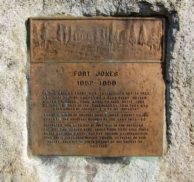
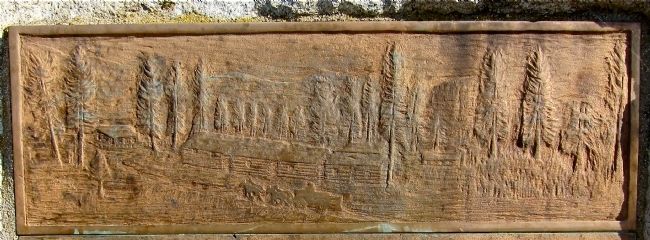
Fort Jones
1852-1858
Named in honor of Colonel Roger Jones, Brevet Major General of the Army, 1824-1852.
Dedicated this 14th day of July 1946 to the officers and men who served here, among whom were Sgts. James Bryan and John Griffin and Pvt. Gundor Salverson, who upon their discharge became pioneer settlers of this valley. Erected in their memory by the County of Siskiyou.
Erected 1946 by County of Siskiyou. (Marker Number 317.)
Topics and series. This historical marker is listed in these topic lists: Forts and Castles • Settlements & Settlers. In addition, it is included in the California Historical Landmarks series list. A significant historical date for this entry is April 23, 1853.
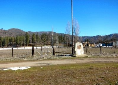
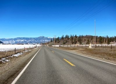
Location. 41° 35.741′ N, 122° 50.511′ W. Marker is in Fort Jones, California, in Siskiyou County. Marker is on Eastside Road, 0.4 miles south of Main Street, on the right when traveling north. Touch for map. Marker is in this post office area: Fort Jones CA 96032, United States of America. Touch for directions.
Other nearby markers. At least 8 other markers are within 8 miles of this marker, measured as the crow flies. Sgt. James Bryan (approx. half a mile away); Veterans Memorial (approx. half a mile away); “Fort Jones House” (approx. 0.7 miles away); a different marker also named Fort Jones (approx. ¾ mile away); World Wars Memorial (approx. 0.8 miles away); Fort Jones War Memorial (approx. 0.8 miles away); Meamber School (approx. 6.4 miles away); Site of the First Church in Scott Valley (approx. 7.9 miles away). Touch for a list and map of all markers in Fort Jones.
Regarding Fort Jones. The site of Fort Jones is California Historical Landmark Number 317.
Also see . . .
1. The history of nearby Fort Jones. The Fort Jones Museum's page for the history of the Fort. (Submitted on January 27, 2013.)
2. Historic California Posts: Fort Jones. The California Military Museum's page for Fort Jones: "Established on October 16, 1852, this important 640 acre post was situated on the east side of the Scott River at the present town of Fort Jones (formerly Wheelock), Siskiyou County. The post was established by Major Edward H. Fitzgerald with Companies A and E:, 1st Dragoons, for the purpose of protecting the mining town from Indian depredations. The fort was named for Colonel Roger Jones, adjutant general of the Army, who died on July 15, 1852. On June 23, 1858, the post was evacuated by the garrison. In 1864 it was reoccupied for a short period by the 1st Battalion of Mountaineers, California Volunteers. The reservation was transferred to the Interior Department on May 27, 1870, for disposition...." (Submitted on January 27, 2013.)
Credits. This page was last revised on October 11, 2020. It was originally submitted on January 26, 2013. This page has been viewed 578 times since then and 37 times this year. Last updated on October 11, 2020, by Craig Baker of Sylmar, California. Photos: 1. submitted on January 26, 2013, by Andrew Ruppenstein of Lamorinda, California. 2, 3. submitted on January 27, 2013, by Andrew Ruppenstein of Lamorinda, California. 4. submitted on January 26, 2013, by Andrew Ruppenstein of Lamorinda, California. • J. Makali Bruton was the editor who published this page.


