Walkersville in Frederick County, Maryland — The American Northeast (Mid-Atlantic)
Heritage Farm Park Lime Kiln
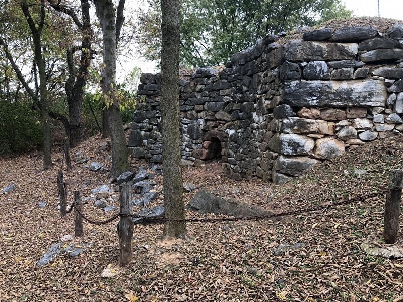
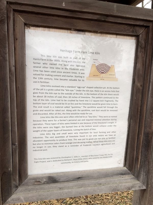
This lime kiln was built as part of the Harris Farm in the 1800s. Along with this kiln, the farmer who owned the land also operated several other lime kilns in the Frederick area. Lime has been used since ancient times. It was valued for making cement and mortar. Starting in the 13th century, lime became valuable for its use in fertilizer.
Lime kilns evolved into a standard "egg-cup" shaped collection pit. At the bottom of the pit is a grate called the "kiln eye." Under the kiln eye, there is an access hole that goes from the kiln eye to the outside of the kiln. In the bottom of the kiln there would be about 18 inches of coal, then 18 inches of limestone. This pattern continued to the top of the kiln. Lime had to be crushed by hand into 1-2 square-inch fragments. The bottom layer of coal would be lit on fire and the limestone would be given time to burn. The end result is a material called "quicklime." The quicklime would fall through the grate and would be raked out. Along with the quicklime, coal dust would be removed and discarded. After all this, the lime would be ready for use.
Lime kilns like this one were often referred to as "lazy kilns." They were so named because they were for a farmer's personal use and required minimal attention during operation. These types of kilns were limited in size because of the limestone's weight. If the kilns were any bigger, the burned lime at the bottom would collapse under the weight of the upper layers of limestone, ruining the batch of lime.
Lime kilns big and small were very important for local farming and other industries. The vast quantities of limestone found in our area means we have an abundant opportunity to produce lime. This was put to good use not only as fertilizer but also to minimize odors from sewage and decaying matter. While these lime kilns are no longer in use, they stand as a reminder of Frederick County's agricultural and industrial past.
This lime kiln was restored by Christopher C. Gillis Jr., member of Boy Scout Troop 792, for his Eagle Project, and is dedicated to Richard E. Stup (1956-2012), who cared for the Walkersville community, its history and parks.
Erected by Christopher C. Gillis Jr., member of Scout Troop 792.
Topics. This historical marker is listed in this topic list: Industry & Commerce.
Location. 39° 29.911′ N, 77° 21.088′ W. Marker is in Walkersville, Maryland, in Frederick County. Marker can be reached from Devilbiss Bridge Road just east of Glade Road, on the right when traveling west. Touch for map. Marker is at or near this postal address: 9014 Devilbiss Bridge Rd, Walkersville MD 21793, United States of America. Touch for directions.
Other nearby markers.

Photographed By Devry Becker Jones (CC0), October 11, 2020
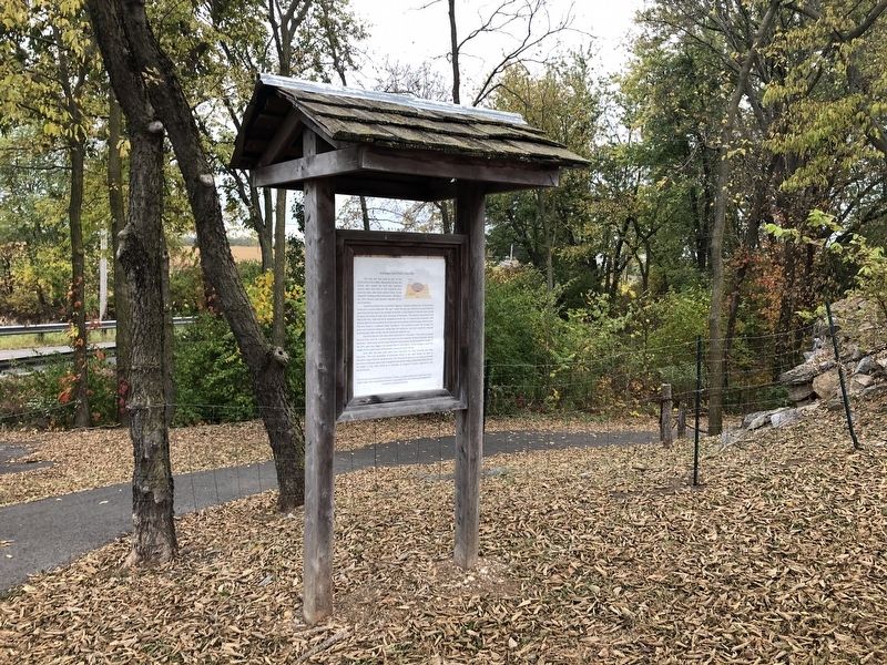
3. The Lime Kiln, around the corner along the trail from the marker
Credits. This page was last revised on October 12, 2020. It was originally submitted on October 12, 2020, by Devry Becker Jones of Washington, District of Columbia. This page has been viewed 278 times since then and 37 times this year. Photos: 1, 2, 3. submitted on October 12, 2020, by Devry Becker Jones of Washington, District of Columbia.

