Near Bristol in Sullivan County, Tennessee — The American South (East South Central)
Pemberton Oak
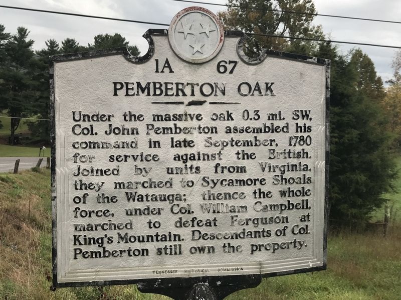
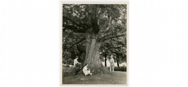
Under the massive oak 0.3 mi. SW, Col. John Pemberton assembled his command in late September, 1780 for service against the British. Joined by units from Virginia, they marched to Sycamore Shoals of the Watauga; thence the whole force, under Col. William Campbell, marched to defeat Ferguson at King's Mountain. Descendants of Col. Pemberton still own the property.
Erected by Tennessee Historical Commission. (Marker Number 1A 67.)
Topics and series. This historical marker is listed in this topic list: War, US Revolutionary. In addition, it is included in the Historic Trees, and the Tennessee Historical Commission series lists. A significant historical month for this entry is September 1780.
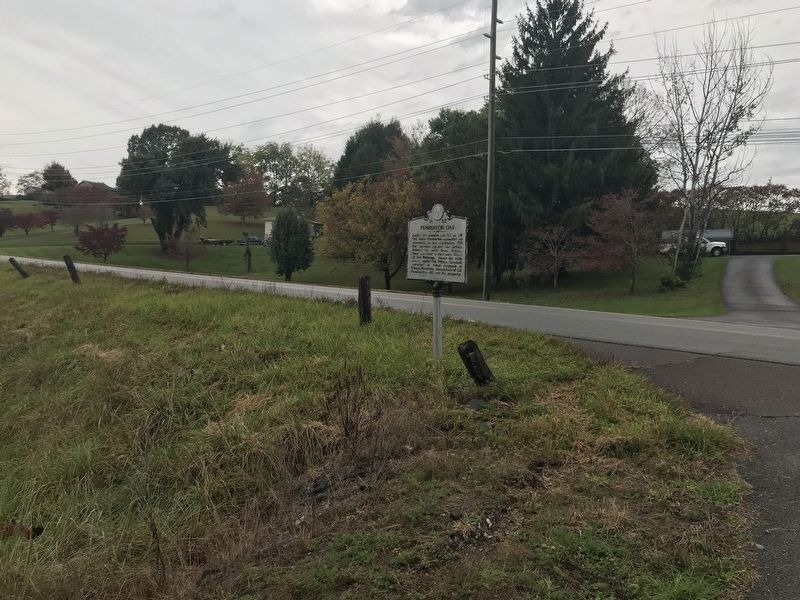
Location. 36° 33.898′ N, 82° 4.302′ W. Marker is near Bristol, Tennessee, in Sullivan County. Marker is at the intersection of U.S. 421 and Pemberton Road, on the right when traveling east on U.S. 421. Touch for map. Marker is in this post office area: Bristol TN 37620, United States of America. Touch for directions.
Other nearby markers. At least 8 other markers are within 6 miles of this marker, measured as the crow flies. Jonesboro Turnpike (approx. 4.9 miles away); Bristol, Virginia (approx. 5˝ miles away in Virginia); Walnut Grove Plantation (approx. 5.6 miles away in Virginia); Parlett House (approx. 5.6 miles away); East Hill Cemetery (approx. 5.8 miles away); Founder of Bristol (approx. 5.9 miles away); City Historian (approx. 6 miles away in Virginia); Slave Section of East Hill Cemetery (approx. 6 miles away in Virginia). Touch for a list and map of all markers in Bristol.
Regarding Pemberton Oak. The white oak fell in a summer 2004 storm.
Also see . . . Pemberton Oak. From Tennessee Urban Forestry Council. (Submitted on October 15, 2020, by Duane and Tracy Marsteller of Murfreesboro, Tennessee.)
Credits. This page was last revised on October 17, 2020. It was originally submitted on October 15, 2020, by Duane and Tracy Marsteller of Murfreesboro, Tennessee. This page has been viewed 653 times since then and 122 times this year. Photos: 1, 2, 3. submitted on October 15, 2020, by Duane and Tracy Marsteller of Murfreesboro, Tennessee. • J. Makali Bruton was the editor who published this page.


