Edom in Rockingham County, Virginia — The American South (Mid-Atlantic)
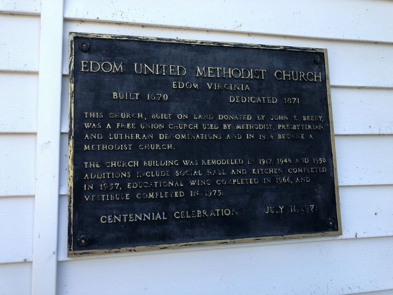
Edom United Methodist Church
Edom, Virginia
— Built 1870, Dedicated 1871 —
This church, built on land donated by John K. Beery was a free union church used by Methodist, Presbyterian, and Lutheran denominations and in 1914 became a Methodist church.
The church building was remodeled in 1917, 1948, and 1950. Additions include social hall and kitchen completed in 1957, educational wing completed in 1966, and vestibule completed in 1975.
July 11, 1971
Erected by Edom United Methodist Church.
Topics. This historical marker is listed in this topic list: Churches & Religion. A significant historical year for this entry is 1870.
Location. 38° 31.437′ N, 78° 51.635′ W. Marker is in Edom, Virginia, in Rockingham County. Marker is on Jesse Bennett Way (Virginia Route 859) 0.2 miles north of Harpine Highway (Virginia Route 42), on the right when traveling north. Touch for map. Marker is at or near this postal address: 5290 Jesse Bennett Way, Linville VA 22834, United States of America. Touch for directions.
Other nearby markers. At least 8 other markers are within 4 miles of this marker, measured as the crow flies. Dr. Jessee Bennett (about 500 feet away, measured in a direct line); Breneman-Turner Mill (approx. 0.8 miles away); George Chrisman House (approx. 1˝ miles away); Mannheim (approx. 1.8 miles away); Baxter House (approx. 2.6 miles away); Lincoln's Virginia Ancestors (approx. 2.8 miles away); Old Salem Church (approx. 3˝ miles away); Joseph Funk (approx. 3.6 miles away). Touch for a list and map of all markers in Edom.
Credits. This page was last revised on October 18, 2020. It was originally submitted on October 18, 2020, by Devry Becker Jones of Washington, District of Columbia. This page has been viewed 204 times since then and 18 times this year. Photos: 1, 2. submitted on October 18, 2020, by Devry Becker Jones of Washington, District of Columbia.

