Ticonderoga in Essex County, New York — The American Northeast (Mid-Atlantic)
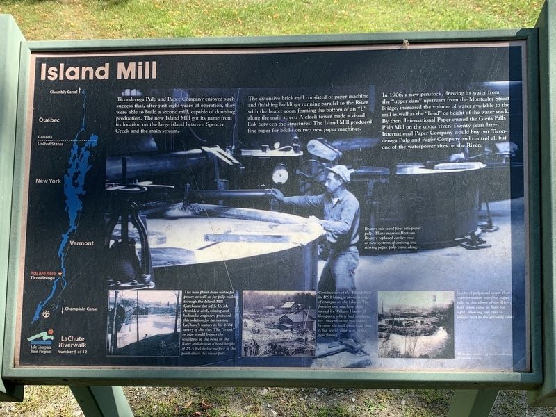
Island Mill
LaChute Riverwalk
Ticonderoga Pulp and Paper Company enjoyed such success that, after just eight years of operation, they were able to build a second mill, capable of doubling production. The new Island Mill got its name from its location on the large island between Spencer Creek and the main stream.
The extensive brick mill consisted of paper machine and finishing buildings running parallel to the River with the beater room forming the bottom of an "L" along the main street. A clock tower made a' visual link between the structures. The Island Mill produced fine paper for books on two new paper machines.
In 1906, a new penstock, drawing its water from the "upper dam” upstream from the Montcalm Street bridge, increased the volume of water available to the mill as well as the "head” or height of the water stack. By then, International Paper owned the Glens Falls Pulp Mill on the upper river. Twenty years later, International Paper Company would buy out Ticonderoga Pulp and Paper Company and control all but one of the waterpower sites on the River.
Main Image: Beaters mix wood fiber into paper pulp. These massive Bertram Beaters replaced earlier vats as new systems of cooking and stirring paper pulp came along.
Bottom Left Photo: The new plant drew water for power as well as for pulp-making through the Island Mill Gatehouse (at left). D. M. Amold, a civil, mining and hydraulic engineer, proposed this solution for harnessing LaChute's waters in his 1884 survey of the site. The "trunk" or pipe would bypass the whirlpool at the bend in the River and deliver a head height of 25.5 feet to the surface of the pond above the lower falls.
Bottom Center Photo: Construction of the Island Mill in 1891 brought about a series of changes on the Island. The foundry and machine shop owned by William Hooper & Company, which had produced ore concentrating machinery, became the mill's machine shop. A file works gave way to the new flumes.
Bottom Right Photo: Stacks of pulpwood await their transformation into fine paper pulp in this elbow of the River. Rail spurs cone in from the right, allowing rail cars to unload next to the grinding room. All images courtesy of the Ticonderoga Historical Society
Erected by Lake Champlain Basin Program. (Marker Number 5.)
Topics. This historical marker is listed in this topic list: Industry & Commerce. A significant historical year for this entry is 1906.
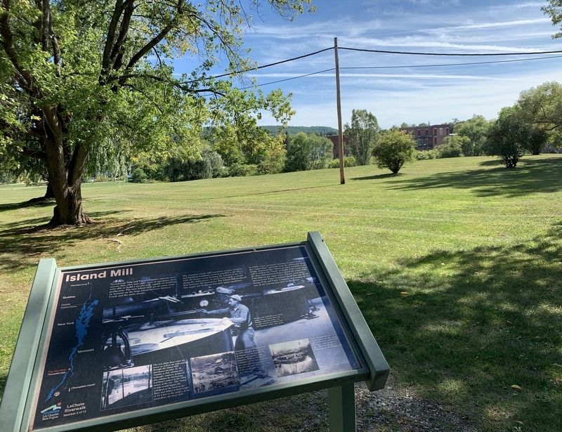
Location. 43° 51.053′ N, 73° 25.407′ W. Marker is in Ticonderoga, New York, in Essex County. Marker can be reached from Champlain Avenue north of Adirondack Park, on the right when traveling south. Touch for map. Marker is in this post office area: Ticonderoga NY 12883, United States of America. Touch for directions.
Other nearby markers. At least 8 other markers are within walking distance of this marker. Anatomy of the River (about 300 feet away, measured in a direct line); Crossroads of a Community (about 400 feet away); Richards' Dam (about 800 feet away); 1756 French Saw Mill on La Chute River (approx. 0.2 miles away); Tower Avenue Grindstones (approx. 0.2 miles away); Hon. Clayton Harris DeLano (approx. 0.2 miles away); Rivière de La Chute (approx. 0.2 miles away); Lakes to Locks Passage (approx. 0.2 miles away). Touch for a list and map of all markers in Ticonderoga.

via Pride of Ticonderiga, unknown
3. La Chute River Trail
Pride of Ticonderoga website entry
Click for more information.
Click for more information.
Credits. This page was last revised on April 26, 2022. It was originally submitted on October 20, 2020, by Steve Stoessel of Niskayuna, New York. This page has been viewed 189 times since then and 25 times this year. Photos: 1, 2. submitted on October 20, 2020, by Steve Stoessel of Niskayuna, New York. 3. submitted on April 26, 2022, by Larry Gertner of New York, New York. • Michael Herrick was the editor who published this page.

