Orleans in Barnstable County, Massachusetts — The American Northeast (New England)
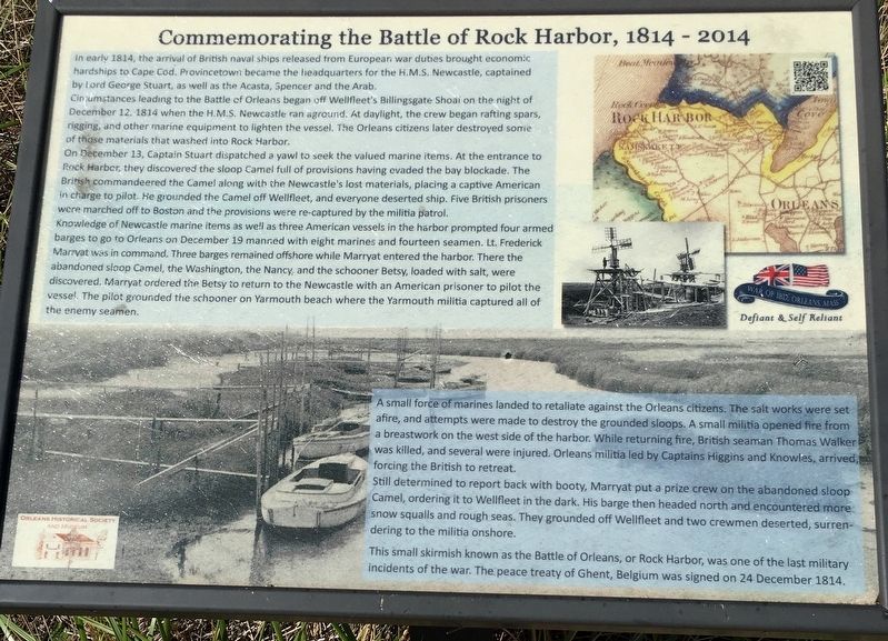
Commemorating the Battle of Rock Harbor
In early 1814, the arrival of British naval ships released from European war duties brought economic hardships to Cape Cod. Provincetown became the headquarters for the H.M.S. Newcastle, captained by Lord George Stuart, as well as the Acasta, Spencer and the Arab
Circumstances leading to the Battle of Orleans began off Wellfleet’s Billingsgate Shoal on the night of December 12, 1814 when the H.M.S. Newcastle ran aground. At daylight, the crew began rafting spars, rigging, and other marine equipment to lighten the vessel. The Orleans citizens later destroyed some of those materials that washed into Rock Harbor.
On December 13, Captain Stuart dispatched a yawl to seek the valued marine items. At the entrance to Rock Harbor, they discovered the sloop Camel full of provisions having evaded the bay blockade. The British commandeered the Camel along with the Newcastle’s lost materials, placing a captive American in charge to pilot. He grounded the Camel off Wellfleet, and everyone deserted ship. Five British prisoners were marched off to Boston and the provisions were re-captured by the militia patrol.
Knowledge of Newcastle marine items as well as three American vessels in the harbor prompted four armed barges to go to Orleans on December 19 manned with eight marines and fourteen seamen. Lt. Frederick Marryat was in command. Three barges remained offshore while Marryat entered the harbor. There the abandoned sloop Camel, the Washington, the Nancy and the schooner Betsy, loaded with salt, were discovered. Marryat ordered the Betsy to return to the Newcastle with an American prisoner to pilot the vessel. The pilot grounded the schooner on Yarmouth beach where the Yarmouth militia captured all of the enemy seamen.
A small force of marines landed to retaliate against the Orleans citizens. The salt works were set afire, and attempts were made to destroy the grounded sloops. A small militia opened fire from a breastwork on the west side of the harbor. While returning fire, British seaman Thomas Walker was killed, and several were injured. Orleans, militia led by Captains Higgins and Knowles, arrived forcing the British to retreat.
Still determined to report back with booty, Marryat put a prize crew on the abandoned sloop Camel, ordering it to Wellfleet in the dark. His barge then headed north and encountered more snow squalls and rough seas. They grounded off Wellfleet and two crewmen deserted, surrendering to the militia onshore.
This small skirmish known as the Battle of Orleans, or Rock Harbor, was one of the last military incidents of the war. The peace treaty of Ghent, Belgium was signed on 24 December 1814.
Topics. This memorial is listed in this topic list: War of 1812.
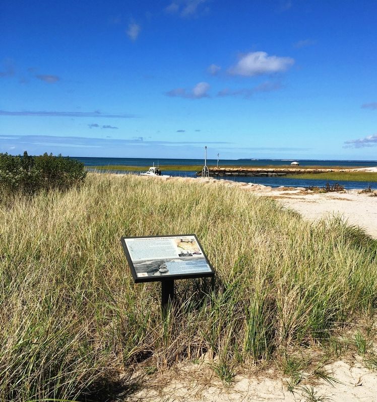
Location. 41° 47.985′ N, 70° 0.507′ W. Marker is in Orleans, Massachusetts, in Barnstable County. Memorial is on Bay View Drive west of Rock Harbor Road when traveling west. Located at the end of Bay View Drive. Touch for map. Marker is at or near this postal address: 18 Bay View Drive, Orleans MA 02653, United States of America. Touch for directions.
Other nearby markers. At least 8 other markers are within 2 miles of this marker, measured as the crow flies. Battle of Orleans Massachusetts 1814 (here, next to this marker); Coast Guard Motor Life Boat CG36500 (a few steps from this marker); The Whale of Orleans (approx. 1.2 miles away); French–Atlantic Cable Company (approx. 1.3 miles away); The French Transatlantic Telegraph Cable, 1898 (approx. 1.3 miles away); Jonathan Young Mill (approx. 1.4 miles away); Origins of Orleans (approx. 1.4 miles away); Orleans’ First Resident? (approx. 1.4 miles away). Touch for a list and map of all markers in Orleans.
Credits. This page was last revised on October 26, 2020. It was originally submitted on October 22, 2020, by Brandon D Cross of Flagler Beach, Florida. This page has been viewed 669 times since then and 186 times this year. Photos: 1, 2. submitted on October 22, 2020, by Brandon D Cross of Flagler Beach, Florida. • Michael Herrick was the editor who published this page.

