Eudora in Chicot County, Arkansas — The American South (West South Central)
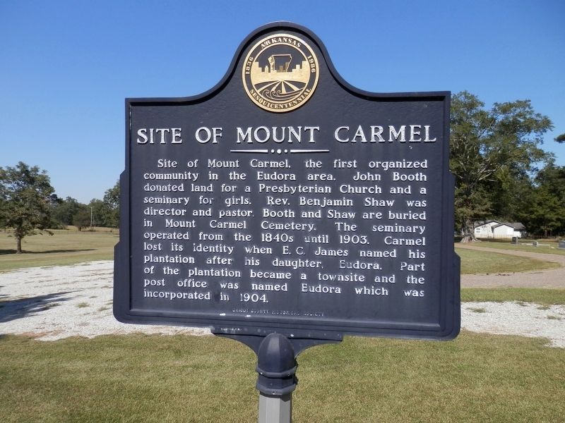
Site of Mount Carmel
Site of Mount Carmel, the first organized community in the Eudora area. John Booth donated land for a Presbyterian Church and a seminary for girls. Rev. Benjamin Shaw was director and pastor. Booth and Shaw are buried in Mount Carmel Cemetery. The seminary operated from the 1840s until 1903. Carmel lost its identity when E. C. James named his plantation after his daughter, Eudora. Part of the plantation became a townsite and the post office was named Eudora which was incorporated in 1904.
Erected by Chicot County Historical Society.
Topics. This historical marker is listed in these topic lists: Churches & Religion • Settlements & Settlers.
Location. 33° 5.955′ N, 91° 15.859′ W. Marker is in Eudora, Arkansas, in Chicot County. Marker is on Gum Street, half a mile south of South Archer Street (State Highway 159). Touch for map. Marker is in this post office area: Eudora AR 71640, United States of America. Touch for directions.
Other nearby markers. At least 8 other markers are within 13 miles of this marker, measured as the crow flies. Eudora Under The Hill (approx. half a mile away); Cariola Landing (approx. 3.2 miles away); Galloway Place Mound (approx. 7˝ miles away in Louisiana); Cotton Storage House (approx. 9.6 miles away in Mississippi); Old Highway 1 (approx. 10.9 miles away in Mississippi); The Casualties at Ditch Bayou June 6, 1864 (approx. 12 miles away); The Battle at Ditch Bayou (approx. 12 miles away); Saunders-Pettit-Chapman-Cook Plantation Home (approx. 12.2 miles away). Touch for a list and map of all markers in Eudora.
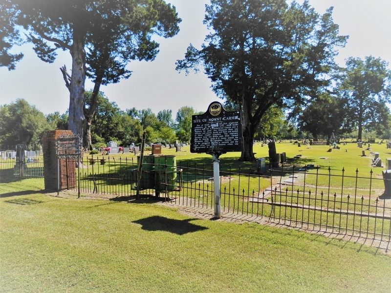
More about this marker. Located at the southern terminus of Gum Street, in front of the Mount Carmel Cemetery
Credits. This page was last revised on June 10, 2023. It was originally submitted on October 23, 2020, by Cajun Scrambler of Assumption, Louisiana. This page has been viewed 320 times since then and 54 times this year. Photos: 1, 2. submitted on October 23, 2020, by Cajun Scrambler of Assumption, Louisiana.

