Chatham in Barnstable County, Massachusetts — The American Northeast (New England)
History of Chatham
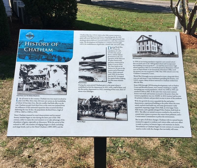
Like all towns in the country, Chatham was very much involved in the Civil War. More than 264 men saw action on the battlefields, of whom 16 lost their lives. But the conflict had little effect on the way Chatham people lived their lives, as the town was isolated from the influences of the industrial expansion that occurred elsewhere following the war. In fact, the population declined from a high of 2700 in 1860 to 1500 in 1910.
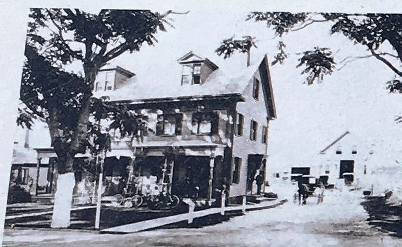
Since Chatham retained its rural characteristics and its natural beauty, tourist began to visit during the latter part of the 19th century, either to enjoy the cool summers or to take advantage of the abundance of game, especially on Monomoy. With the arrival of the railroad in 1887, the number of lodgings began to climb, including such large hotels, such as the Hotel Chatham (1890-1895) and the Chatham Bars Inn (1914). Early in the twentieth century interest in acquiring or building seasonal homes expanded greatly. By 1925 there were more than 8 hotels in town, and of the approximately 900 dwellings almost half were season residences, a ratio that continues today. The development of Chatham as a summer resort brought with it the establishment of golf clubs, a beach club and yacht clubs.
During World War I, 78 out of a population of 1,167, served in the armed forces, and the federal government took over operation of the Marconi Wireless Station that had been constructed at Ryder’s Cove in 1914. The Navy built an Air Station on 36 acres at the eastern end of Eastward Point, which operated until 1923. It was there that the NC-4 stopped for repairs before making the first trans-Atlantic flight.
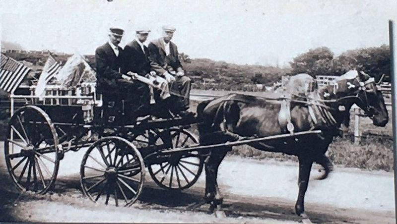
During this period Chatham grew to the point where it established its first fire department in 1911, with a staff of three, and the first police department in 1922, consisting of four men, three of whom were Eldridges.
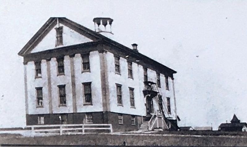
In 1926 an increasing population required a new central school that was built next to the 1858 graded school and incorporated that building. It served grades K – 12 until the junior-senior high school opened in 1863 on Crowell Road and an Elementary School rose on Depot Road. It also housed the Selectmen’s Office until the present one was acquired in 1948. That 1926 school is now the Chatham Community Center.
World War II brought service personnel to town, along with black outs, air raid sirens, Coast Guardsmen patrolling the beaches, and U.S.O centers. Many of those stationed in Chatham settled here after the war.
From 1950 through 1970 housing developments, such as Harbor Coves and Riverbay Estates, were created, resulting in a rapidly increasing year-round population, which was 2500 in 1945 and reached 4,500 in 1965. At the same time many more summer homes were built and tourism increased to the point where the summer population was over 20,000. In 2012 tourism had become the primary industry and provided income to most of the residents.
With this growth the town expanded the fire and police departments, experienced building to the point where the town nearly reached total build-out, and the town government vastly expanded, requiring a larger Town Hall, an even larger Town Hall Annex, and a greatly enlarged Police Station, both built 2011. The effect on natural resources resulted in the need for a central sewer system to protect the waters from pollution, and a Conservation Commission to police the environment.
But in spite of all these changes, Chatham with its natural beauty retained its appeal to residents and visitors alike, and every effort is made to protect its historic legacy and maintain its charm. Nevertheless as Chatham begins its next century, it is aware of the need to evolve with the changes that inevitably will come.
Topics. This historical marker is listed in this topic list: Notable Places.
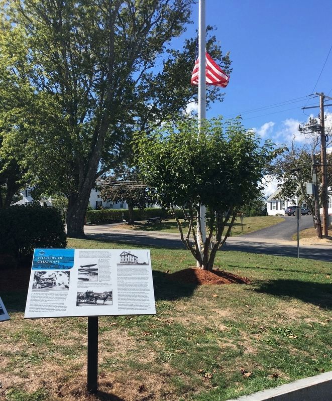
Location. 41° 40.856′ N, 69° 57.522′ W. Marker is in Chatham, Massachusetts, in Barnstable County. Marker is at the intersection of Main Street and Blackberry Lane, on the left when traveling north on Main Street
. Located in front of Chatham Town Hall. Touch for map. Marker is at or near this postal address: 549 Main Street, Chatham MA 02633, United States of America. Touch for directions.
Other nearby markers. At least 8 other markers are within walking distance of this marker. A different marker also named History of Chatham (here, next to this marker); In Memory of the Pioneers of Chatham (within shouting distance of this marker); The Josiah Mayo House (within shouting distance of this marker); Chatham Civil War Monument (about 500 feet away, measured in a direct line); The Godfrey Windmill (approx. ¼ mile away); The Men Of Chatham (approx. 0.3 miles away); Chatham Railroad Depot (approx. 0.3 miles away); The Atwood School (approx. 0.4 miles away). Touch for a list and map of all markers in Chatham.
Credits. This page was last revised on October 25, 2020. It was originally submitted on October 24, 2020, by Brandon D Cross of Flagler Beach, Florida. This page has been viewed 134 times since then and 10 times this year. Photos: 1, 2, 3, 4, 5, 6. submitted on October 24, 2020, by Brandon D Cross of Flagler Beach, Florida. • Michael Herrick was the editor who published this page.
