Maxwell Air Force Base in Montgomery County, Alabama — The American South (East South Central)
Fourth Aviation Squadron Historic District
Montgomery County
Inscription.
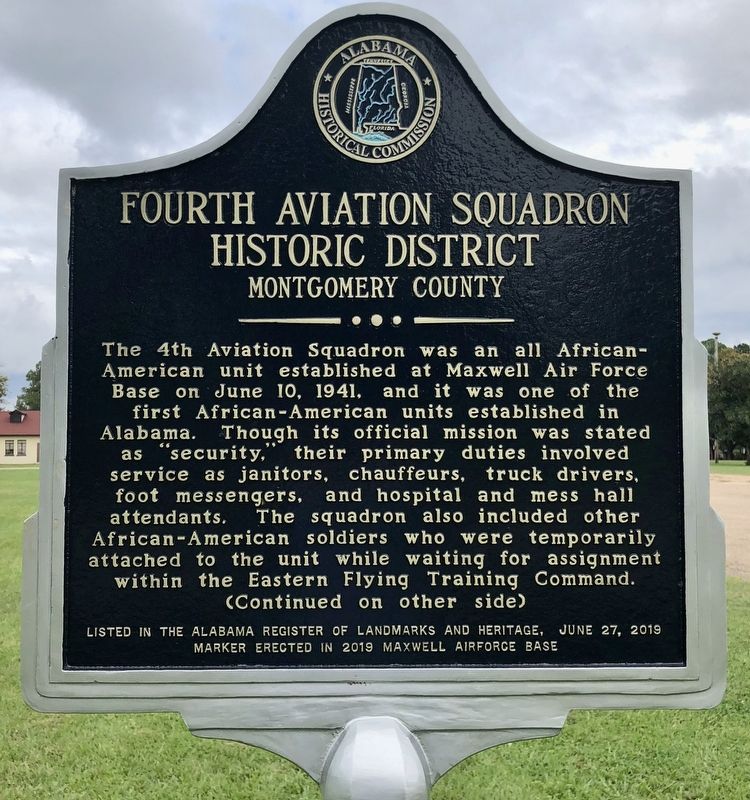
The 4th Aviation Squadron was an all African-American unit established at Maxwell Air Force Base on June 10, 1941, and it was one of the first African-American units established in Alabama. Though its official mission was stated as “security,” their primary duties involved service as janitors, chauffeurs, truck drivers, foot messengers, and hospital and mess hall attendants. The squadron also included other African-American soldiers who were temporarily attached to the unit while waiting for assignment within the Eastern Flying Training Command.
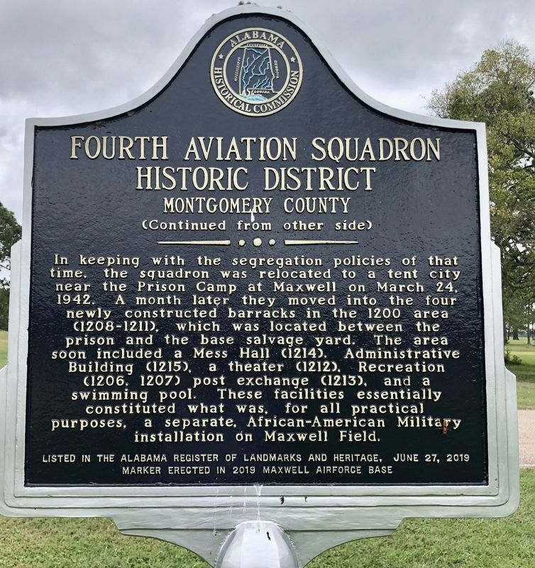
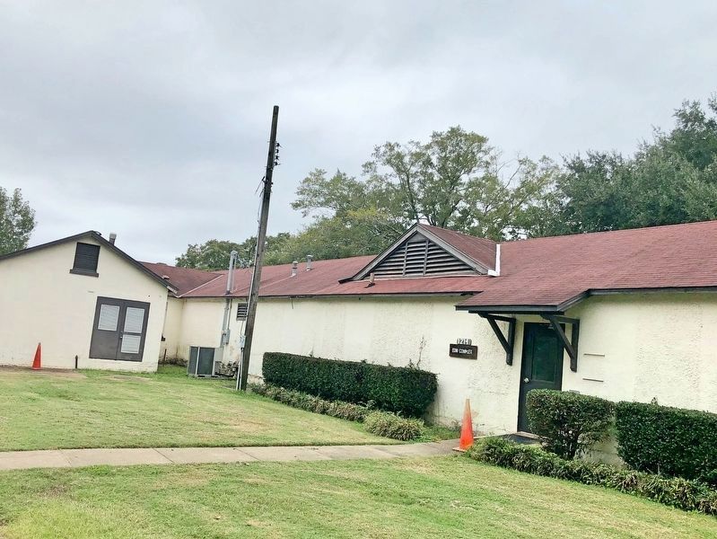
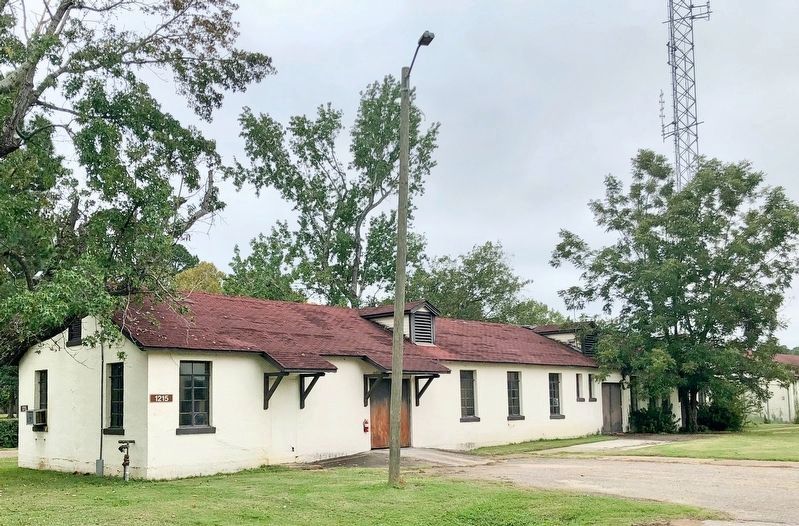
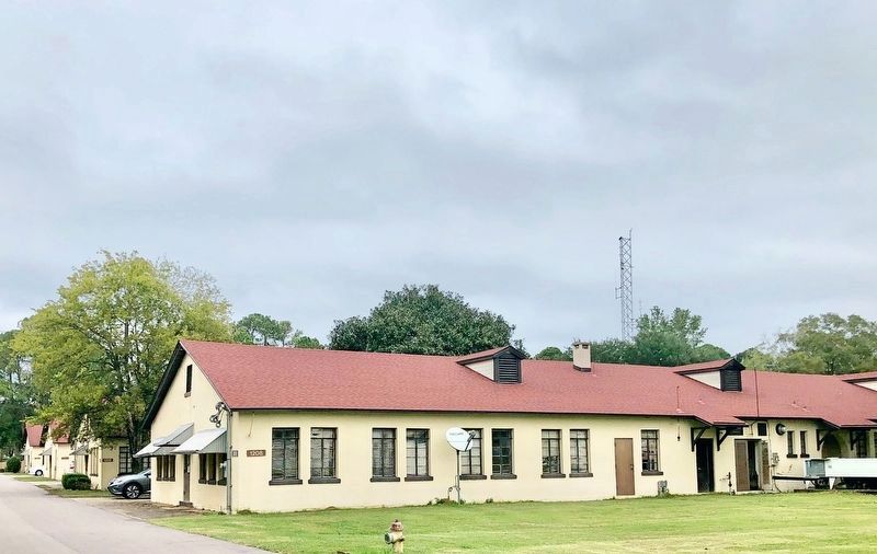
In keeping with the segregation policies of that time, the squadron was relocated to a tent city near the Prison Camp at Maxwell on March 24, 1942. A month later they moved into the four newly constructed barracks in the 1200 area (1208-1211), which was located between the prison and the base salvage yard. The area soon included a Mess Hall (1214), Administrative Building (1215), a theater (1212), Recreation (1206, 1207) post exchange (1213), and a swimming pool. These facilities essentially constituted what was, for all practical purposes, a separate, African-American Military installation on Maxwell Field.
Marker erected in 2019 Maxwell AirForce Base
Erected 2019 by Alabama Historical Commission.
Topics and series. This historical marker is listed in these topic lists: African Americans • Military. In addition, it is included in the Alabama Historical Commission series list. A significant historical date for this entry is March 24, 1942.
Location. 32° 23.491′ N, 86° 21.547′ W. Marker is in Maxwell Air Force Base, Alabama, in Montgomery County. Marker is on Washington Ferry Road west of Beech Street, on the right when traveling west. Access to the historical markers on Maxwell AFB is restricted. Touch for map. Marker is in this post office area: Montgomery AL 36113, United States of America. Touch for directions.
Other nearby markers. At least 8 other markers are within walking distance of this marker. Cessna T-41A "Mescalero" (approx. half a mile away); The Thunderbirds (approx. half a mile away); General Larry D. Welch (approx. 0.6 miles away); Maj. Gen. Claire L. Chennault / Three Men on a Flying Trapeze (approx. ¾ mile away); Wright Brothers Flying School (approx. ¾ mile away); Site of Indian Town Tawasa (approx. one mile away); Boeing B-52D "Stratofortress" (approx. one mile away); McDonnell Douglas F-4D "Phantom II" (approx. one mile away). Touch for a list and map of all markers in Maxwell Air Force Base.
More about this marker. Only
active duty personnel, retirees, reservists, guardsmen, DoD civilians and DoD contractors are allowed to access facilities at Maxwell AFB. If you are not affiliated with Maxwell you must be sponsored on by someone who lives or works there.
Also see . . . Montgomery Advertiser article notes history of the 4th Aviation Squadron District. (Submitted on October 25, 2020, by Mark Hilton of Montgomery, Alabama.)
Credits. This page was last revised on February 9, 2023. It was originally submitted on October 25, 2020, by Mark Hilton of Montgomery, Alabama. This page has been viewed 441 times since then and 73 times this year. Photos: 1, 2, 3, 4. submitted on October 25, 2020, by Mark Hilton of Montgomery, Alabama. 5, 6, 7. submitted on October 27, 2020, by Mark Hilton of Montgomery, Alabama.
