Near Hermiston in Umatilla County, Oregon — The American West (Northwest)
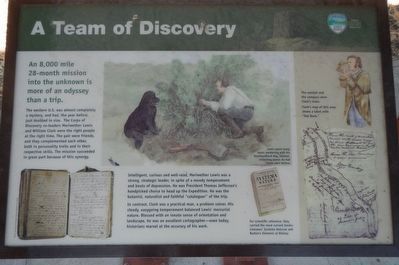
A Team of Discovery

Photographed By Barry Swackhamer, August 14, 2020
1. A Team of Discovery Marker
Captions: (top center) Lewis spent many hours wandering with his Newfoundland dog, Seaman, collecting plants he had never seen before. -- For scientific reference, they carried the most current books: Linnaeus' Systema Naturae and Barton's Elements of Botany.; (right side) The sextant and compass were Clark's tools. Clark's map of this area shows a lake with "Hat Rock"
The western U.S. was almost completely a mystery, and had, the year before, just doubled in size. The Corps of Discovery co-leaders Meriwether Lewis and William Clark were the right people at the right time. The pair were friends, and they complemented each other, both in personality traits and in their respective skills. The mission succeeded in great part because of this synergy.
Intelligent, curious and well-read, Meriwether Lewis was a strong, strategic leader, in spite of a moody temperament and bouts of depression. He was President Thomas Jefferson's handpicked choice to head up the Expedition. He was the botanist, naturalist and faithful "cataloguer" of the trip.
In contrast, Clark was a practical man, a problem solver. His steady, easygoing temperament balanced Lewis' mercurial nature. Blessed with an innate sense of orientation and landscape, he was an excellent cartographer - even today historians marvel at the accuracy of his work.
Erected by Oregon Parks and Recreation Department.
Topics and series. This historical marker is listed in this topic list: Exploration. In addition, it is included in the Lewis & Clark Expedition series list.
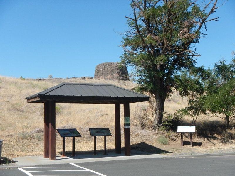
Location. 45° 55.178′ N, 119° 10.11′ W. Marker is near Hermiston, Oregon, in Umatilla County. Marker is on Marina Drive near Hat Rock State Park Road. The marker is in the Marina Drive parking lot at Hat Rock State Park. Touch for map. Marker is in this post office area: Hermiston OR 97838, United States of America. Touch for directions.
Other nearby markers. At least 8 other markers are within 9 miles of this marker, measured as the crow flies. Naamí Tiičám Ku Waqíšwit (here, next to this marker); It's All Downhill From Here (here, next to this marker); How Do You Make a Hat? (approx. ¼ mile away); The Umatilla Rapids (approx. 6.6 miles away); The Lewis and Clark Expedition (approx. 6.6 miles away); Cayuse, Umatilla and Walla Walla Homeland (approx. 6.6 miles away); Patímaša Tiičámna (approx. 6.6 miles away); Strangers "from the clouds" (approx. 8.9 miles away in Washington). Touch for a list and map of all markers in Hermiston.
Credits. This page was last revised on October 26, 2020. It was originally submitted on October 26, 2020, by Barry Swackhamer of Brentwood, California. This page has been viewed 68 times since then and 9 times this year. Photos: 1, 2, 3. submitted on October 26, 2020, by Barry Swackhamer of Brentwood, California.

