Paducah in McCracken County, Kentucky — The American South (East South Central)
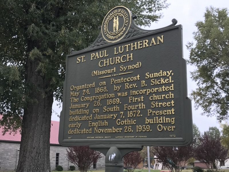
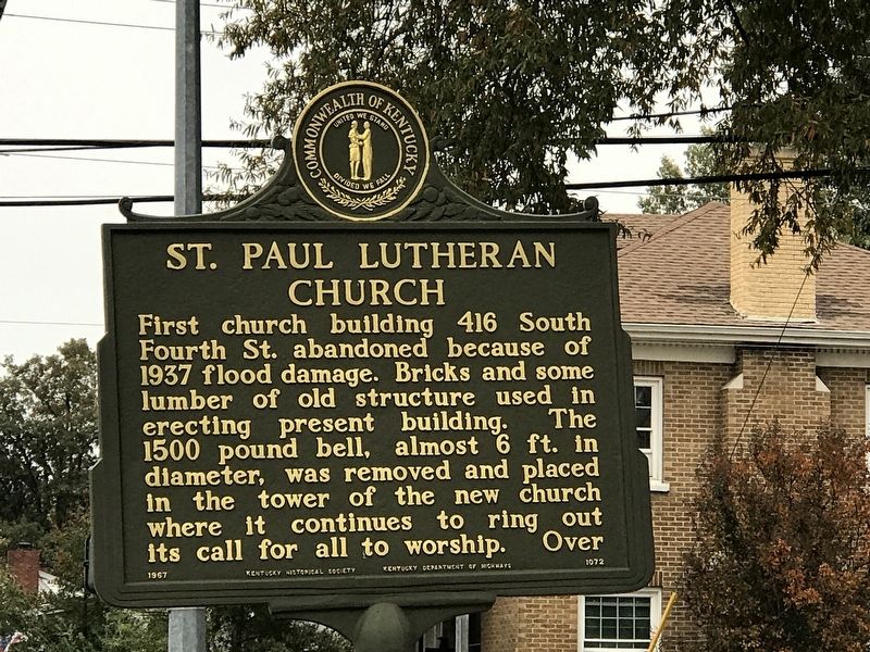
St. Paul Lutheran Church
(Missouri Synod)
Organized on Pentecost Sunday, May 24, 1868, by Rev. B. Sickel. The Congregation was incorporated January 26, 1869. First church building on South Fourth Street dedicated January 7, 1872. Present early English Gothic building dedicated November 26, 1939.
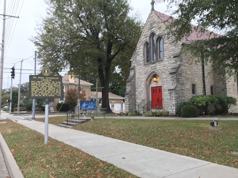
First church building 416 South Fourth St. abandoned because of 1937 flood damage. Bricks and some lumber of old structure used in erecting present building. The 1500 pound bell, almost 6 ft. in diameter, was removed and placed in the tower of the new church where it continues to ring out its call for all to worship.
Erected 1967 by Kentucky Historical Society and Kentucky Department of Highways. (Marker Number 1072.)
Topics and series. This historical marker is listed in this topic list: Churches & Religion. In addition, it is included in the Kentucky Historical Society series list. A significant historical date for this entry is May 24, 1868.
Location. 37° 4.551′ N, 88° 37.296′ W. Marker is in Paducah, Kentucky, in McCracken County. Marker is at the intersection of Kentucky Avenue and South 21st Street, on the right when traveling east on Kentucky Avenue. Touch for map. Marker is at or near this postal address: 211 S 21st St, Paducah KY 42003, United States of America. Touch for directions.
Other nearby markers. At least 8 other markers are within walking distance of this marker. Otis Dinning Drive (about 700 feet away, measured in a direct line); Chief Paduke (approx. 0.2 miles away); Linn Boyd Home — 1853 (approx. ¼ mile away); Oscar Turner (approx. 0.3 miles away); Fountain Avenue United Methodist Church (approx. 0.4 miles away); Gen. Lloyd Tilghman (approx. 0.4 miles away); Westminster United Presbyterian Church (approx. half a mile away); Forrest's Headquarters (approx. half a mile away). Touch for a list and map of all markers in Paducah.
Also see . . . A brief history of St. Paul in Paducah. (Submitted on October 28, 2020, by Duane and Tracy Marsteller of Murfreesboro, Tennessee.)
Credits. This page was last revised on April 29, 2024. It was originally submitted on October 28, 2020, by Duane and Tracy Marsteller of Murfreesboro, Tennessee. This page has been viewed 121 times since then and 23 times this year. Photos: 1, 2, 3. submitted on October 28, 2020, by Duane and Tracy Marsteller of Murfreesboro, Tennessee. • Devry Becker Jones was the editor who published this page.


