Paducah in McCracken County, Kentucky — The American South (East South Central)
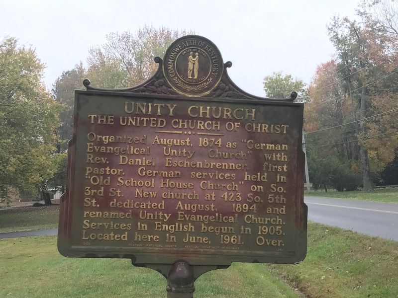
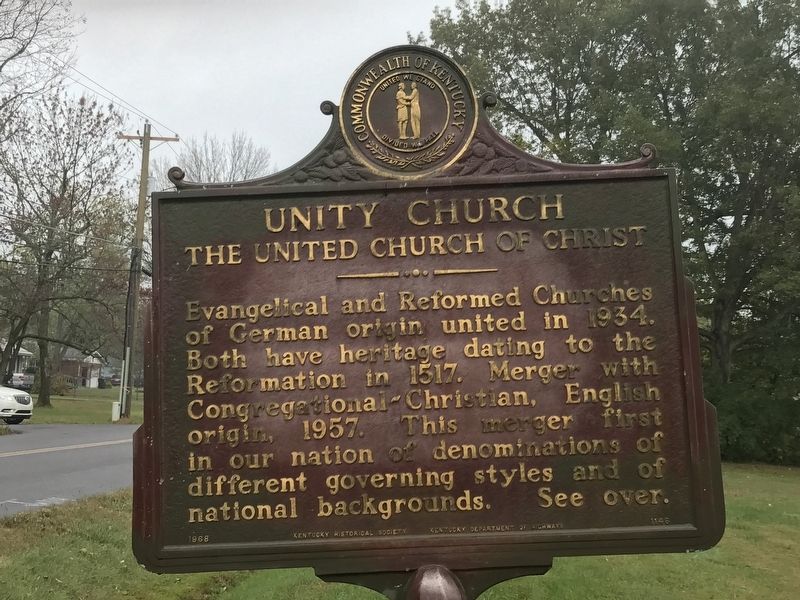
Unity Church
The United Church of Christ
Organized August, 1874 as “German Evangelical Unity Church” with Rev. Daniel Eschenbrenner first pastor. German services held in “Old School House Church” on So. 3rd St. New church at 423 So. 5th St. dedicated August, 1894 and renamed Unity Evangelical Church. Services in English begun in 1905. Located here in June, 1961.
Evangelical and Reformed Churches of German origin united in 1934. Both have heritage dating to the Reformation in 1517. Merger with Congregational-Christian, English origin, 1957. This merger first in our nation of denominations of different governing styles and of national backgrounds.
Erected 1968 by Kentucky Historical Society and Kentucky Department of Highways. (Marker Number 1146.)
Topics and series. This historical marker is listed in this topic list: Churches & Religion. In addition, it is included in the Kentucky Historical Society series list. A significant historical month for this entry is August 1874.
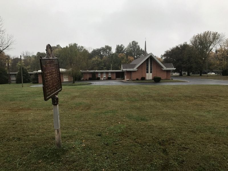
Location. 37° 3.86′ N, 88° 39.425′ W. Marker is in Paducah, Kentucky, in McCracken County. Marker is on Buckner Lane, 0.1 miles east of 47th Street, on the right when traveling east. Touch for map. Marker is at or near this postal address: 4601 Buckner Ln, Paducah KY 42001, United States of America. Touch for directions.
Other nearby markers. At least 8 other markers are within 2 miles of this marker , measured as the crow flies. First Christian Church (approx. 0.4 miles away); Angles / “The Veep” (approx. 0.6 miles away); Paducah Community College (approx. 0.6 miles away); Immanuel Baptist (approx. 0.8 miles away); Whitehaven (approx. one mile away); Alben W. Barkley / Barkley's Grave (approx. 1.4 miles away); First Baptist Church (approx. 1.4 miles away); The 1937 Flood (approx. 1.4 miles away). Touch for a list and map of all markers in Paducah.
Credits. This page was last revised on October 29, 2020. It was originally submitted on October 28, 2020, by Duane and Tracy Marsteller of Murfreesboro, Tennessee. This page has been viewed 151 times since then and 24 times this year. Photos: 1, 2, 3. submitted on October 28, 2020, by Duane and Tracy Marsteller of Murfreesboro, Tennessee. • Devry Becker Jones was the editor who published this page.


