Near Dayton in Columbia County, Washington — The American West (Northwest)
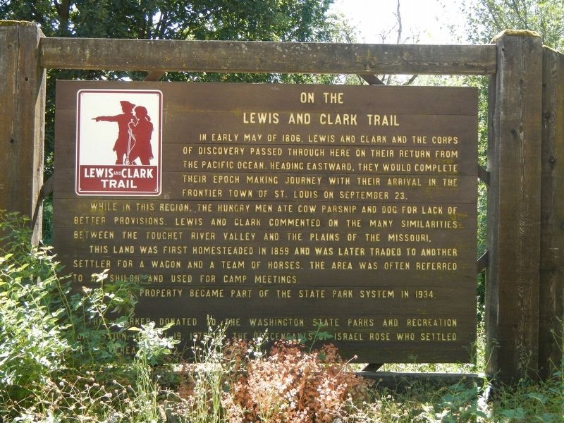
On The Lewis and Clark Trail
While in this region, the hungry men ate cow parsnips and dog for lack of better provisions. Lewis and Clark commented on the many similarities between the Touchet River Valley and the Plains of the Missouri.
This land was first homesteaded in 1859 and was later traded to another settler for a wagon and a team of horses. The area was often referred to as Shiloh and used for camp meetings.
The park property became part of the State Park System in 1934.
This marker donated to the Washington State Parks and Recreation Commission, August 19, 1975 by the descendants of Isabel Rose who settled this area in 1862.
Erected 1975 by The Descendants of Isabel Rose.
Topics and series. This historical marker is listed in these topic lists: Exploration • Settlements & Settlers. In addition, it is included in the Lewis & Clark Expedition series list.
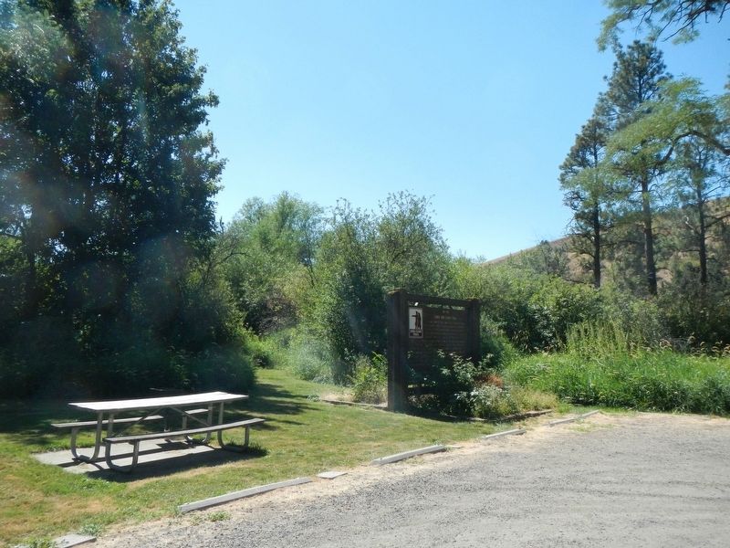
Location. 46° 17.192′ N, 118° 4.356′ W. Marker is near Dayton, Washington , in Columbia County. Marker can be reached from U.S. 12 near Timpey Road, on the right when traveling east. The marker is located in Lewis & Clark Trail State Park on the south side of Highway 12. Touch for map. Marker is at or near this postal address: 361 US Highway 12, Dayton WA 99328, United States of America. Touch for directions.
Other nearby markers. At least 8 other markers are within 5 miles of this marker, measured as the crow flies. "Good things from the Garden, (approx. 3.8 miles away); The Giant on the Hill (approx. 3.8 miles away); Dodge Quarantine Cabin (approx. 4.8 miles away); Smith Hollow Schoolhouse (approx. 4.8 miles away); Cayuse, Umatilla, and Walla Walla Homeland (approx. 4.9 miles away); "a good road" (approx. 4.9 miles away); The Celilo Falls Trail (approx. 5 miles away); Oldest Existing Depot in the State of Washington (approx. 5 miles away). Touch for a list and map of all markers in Dayton.
Credits. This page was last revised on October 30, 2020. It was originally submitted on October 30, 2020, by Barry Swackhamer of Brentwood, California. This page has been viewed 195 times since then and 15 times this year. Photos: 1, 2. submitted on October 30, 2020, by Barry Swackhamer of Brentwood, California.

