Near Banks in Pike County, Alabama — The American South (East South Central)
Monticello
Pike County
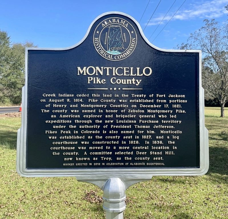
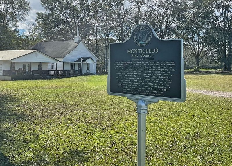
Creek Indians ceded this land in the Treaty of Fort Jackson on August 9, 1814. Pike County was established from portions of Henry and Montgomery Counties on December 17, 1821. The county was named in honor of Zebulon Montgomery Pike, an American explorer and brigadier general who led expeditions through the new Louisiana Purchase territory under the authority of President Thomas Jefferson. Pikes Peak in Colorado is also named for him. Monticello was established as the county seat in 1827, and a log courthouse was constructed in 1828. In 1838, the courthouse was moved to a more central location in the county. A committee selected Deer Stand Hill, now known as Troy, as the county seat.
Erected 2019 by Alabama Historical Commission.
Topics and series. This historical marker is listed in this topic list: Settlements & Settlers. In addition, it is included in the Alabama Historical Commission series list. A significant historical date for this entry is August 9, 1814.
Location. 31° 49.484′ N, 85° 46.975′ W. Marker is near Banks, Alabama, in Pike County. Marker is on Alabama Route 15, 0.2 miles south of County Road 6636, on the right when traveling north
Other nearby markers. At least 8 other markers are within 10 miles of this marker, measured as the crow flies. Philadelphia Presbyterian Church (approx. 6.4 miles away); Hobdy's Bridge: Last Indian Battles in Alabama (approx. 7.1 miles away); City of Brundidge and the Bass House / Brundidge's Peanut Butter Heritage (approx. 7.6 miles away); "Lest We Forget" (approx. 7.6 miles away); Salem Baptist Church (approx. 7.7 miles away); Williams Chapel United Methodist Church (approx. 8.8 miles away); Perote Bullock County (approx. 9.6 miles away); Mt. Pleasant Cemetery (approx. 9.9 miles away).

Photographed By Larry Gertner, May 19, 2021
4. Pike County, Alabama, the county seat was once in Monticello
Alabama Pioneers website entry
(Submitted on October 31, 2020, by Mark Hilton of Montgomery, Alabama.)
Click for more information.
(Submitted on October 31, 2020, by Mark Hilton of Montgomery, Alabama.)
Click for more information.
Credits. This page was last revised on June 3, 2021. It was originally submitted on October 31, 2020, by Mark Hilton of Montgomery, Alabama. This page has been viewed 852 times since then and 237 times this year. Photos: 1, 2, 3. submitted on October 31, 2020, by Mark Hilton of Montgomery, Alabama. 4. submitted on June 3, 2021, by Larry Gertner of New York, New York.


