Eddystone in Delaware County, Pennsylvania — The American Northeast (Mid-Atlantic)
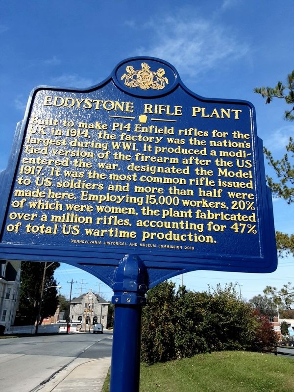
Eddystone Rifle Plant
Erected 2019 by Pennsylvania Historical and Museum Commission.
Topics. This historical marker is listed in these topic lists: Industry & Commerce • War, World I. A significant historical year for this entry is 1914.
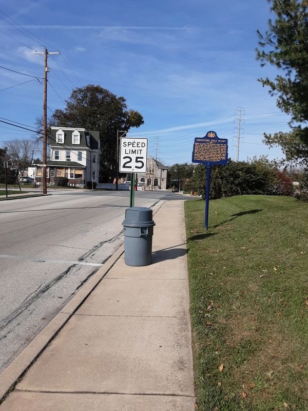
Location. 39° 51.856′ N, 75° 20.571′ W. Marker is in Eddystone, Pennsylvania, in Delaware County. Marker is on Simpson Street, 0.1 miles south of 13th Street, on the right when traveling north. Touch for map. Marker is in this post office area: Crum Lynne PA 19022, United States of America. Touch for directions.
Other nearby markers. At least 8 other markers are within 2 miles of this marker, measured as the crow flies. Eddystone: A True Factory Town (approx. 0.3 miles away); This Memorial Is Dedicated (approx. half a mile away); Sun Village War Memorial (approx. 0.6 miles away); Rochambeau Route (approx. 0.7 miles away); Dr. Anna E. Broomall (approx. ¾ mile away); Sun Shipbuilding and Dry Dock Company (approx. 0.8 miles away); Leiper Railway (approx. 1.1 miles away); First Friends Meeting (approx. 1.1 miles away).
Credits. This page was last revised on November 5, 2020. It was originally submitted on November 3, 2020, by Carl Gordon Moore Jr. of North East, Maryland. This page has been viewed 388 times since then and 48 times this year. Photos: 1, 2. submitted on November 3, 2020, by Carl Gordon Moore Jr. of North East, Maryland. • Bill Pfingsten was the editor who published this page.

