Furnace Creek in Death Valley National Park in Inyo County, California — The American West (Pacific Coastal)
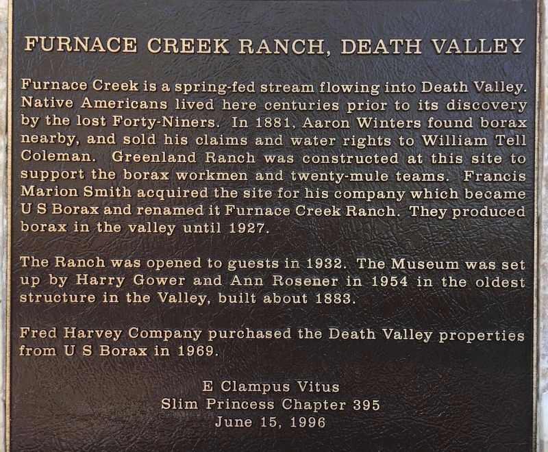
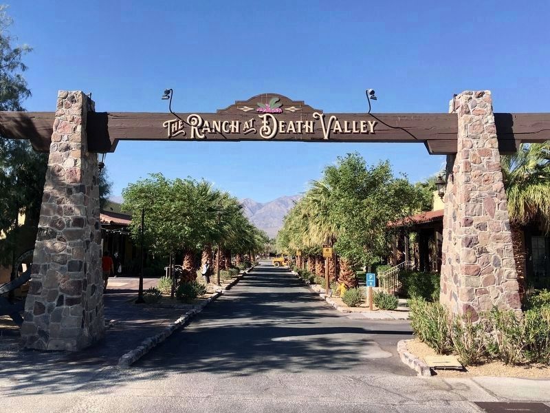
Furnace Creek Ranch, Death Valley
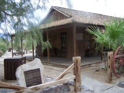
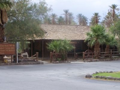
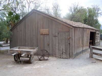
The Ranch was opened to guests in 1932. The Museum was set up by Harry Gower and Ann Rosener in 1954 in the oldest structure in the Valley, built about 1883.
Fred Harvey Company purchased the Death Valley properties from US Borax in 1969.
Erected 1996 by E Clampus Vitus, Slim Princess Chapter No. 395.
Topics and series. This historical marker is listed in these topic lists: Industry & Commerce • Notable Places • Settlements & Settlers. In addition, it is included in the E Clampus Vitus series list. A significant historical year for this entry is 1881.
Location. 36° 27.406′ N, 116° 51.992′ W. Marker is in Death Valley National Park, California, in Inyo County. It is in Furnace Creek. Marker can be reached from California Route 190 near Greenland Boulevard, on the left when traveling north. Located at the Borax Museum in The Ranch At Death Valley. Touch for map. Marker is in this post office area: Death Valley CA 92328, United States of America. Touch for directions.
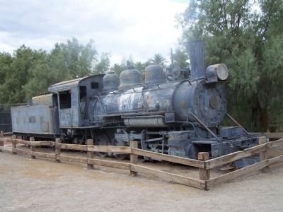
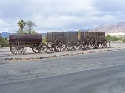
Other nearby markers. At least 8 other markers are within 2 miles of this marker, measured as the crow flies. Old Dinah (about 300 feet away, measured in a direct line); 20 Mule Team Wagon Train (about 300 feet away); Stephen Tyng Mather (approx. 0.4 miles away); Death Valley 49ers Gateway (approx. one mile away); Old Harmony Borax Works (approx. 1.6 miles away); Borax (approx. 1.7 miles away); White Gold (approx. 1.7 miles away); Twenty Mule Teams (approx. 1.7 miles away). Touch for a list and map of all markers in Death Valley National Park.
More about this marker. The name of Furnace Creek Ranch has been changed to The Ranch At Death Valley, by the new owner, Xanterra Parks & Resorts.
Additional commentary.
1. E Clampus Vitus
The Ancient and Honorable Order of E Clampus Vitus (ECV) is a fraternal organization dedicated to the study and preservation of Western Heritage, especially the history of the Mother Lode and gold mining regions of the area. There are chapters in California, Nevada and other Western states.
— Submitted June 20, 2010, by Mike Stroud of Bluffton, South Carolina.
Photographed By Mike Stroud, June 12, 2010
4. Furnace Creek Ranch
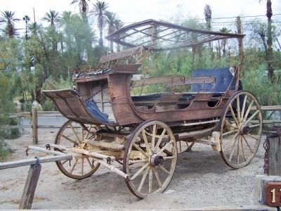
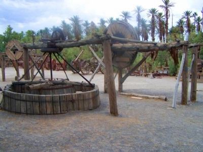
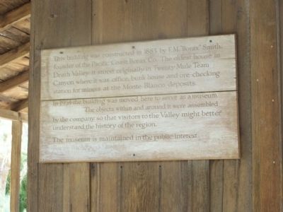
This Building was constructed in 1883 by F.M."Borax" Smith, founder of the Pacific Coast Borax Co. The oldest house in Death Valley, it stood originally in Twenty Mule Team Canyon where it was office, bunk house and ore checking station for miners at the Monte Blanco deposits. In 1954 the building was moved here to serve as a museum. The objects within and around were assembled by the company so that visitors to the Valley might better understand the history of the
region. The museum is maintained in the public interest.
Ferris H. Scott, Santa Ana, Ca. - Western Resort Publications. Santa Ana, Ca. Color by Josef Muench, circa 1970's
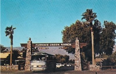
12. Furnace Creek Ranch
Description on postcard:
Death Valley National Monument, California
Furnace Creek Ranch Gates
The picturesque entrance to this historic ranch (178 ft. below sea level) where guests enjoy the outdoor life of a modern dude ranch in America's most historic and fabulous valley. Charter parties in large buses come and go every few days during the season.
Ferris H. Scott, Santa Ana, Ca. - Western Resort Publications. Santa Ana, Ca. Color by Josef Muench
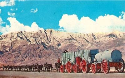
14. Death Valley National Monument, California
A typical twenty-mule team borax outfit in the foreground with the majestic Telescope Peak looming up in the background some 11,049 feet above sea level. The base of this mountain is below sealevel and it is the highest point in the Panamint Range.
Credits. This page was last revised on August 20, 2023. It was originally submitted on June 20, 2010, by Mike Stroud of Bluffton, South Carolina. This page has been viewed 2,546 times since then and 65 times this year. Last updated on November 6, 2020, by Craig Baker of Sylmar, California. Photos: 1. submitted on October 30, 2020, by Craig Baker of Sylmar, California. 2, 3, 4, 5, 6, 7, 8, 9. submitted on June 20, 2010, by Mike Stroud of Bluffton, South Carolina. 10, 11. submitted on April 4, 2011, by Mike Stroud of Bluffton, South Carolina. 12. submitted on June 20, 2010, by Mike Stroud of Bluffton, South Carolina. 13. submitted on October 30, 2020, by Craig Baker of Sylmar, California. 14. submitted on June 20, 2010, by Mike Stroud of Bluffton, South Carolina. • J. Makali Bruton was the editor who published this page.
