Parr in Fairfield County, South Carolina — The American South (South Atlantic)
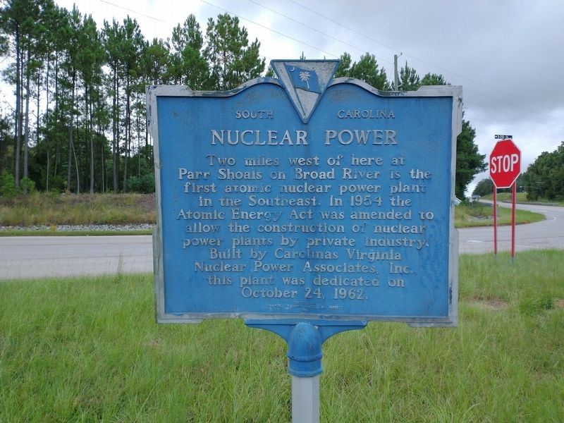
Nuclear Power
Erected 1965 by Fairfield County Historical Society. (Marker Number 20-5.)
Topics. This historical marker is listed in this topic list: Industry & Commerce. A significant historical date for this entry is October 24, 1962.
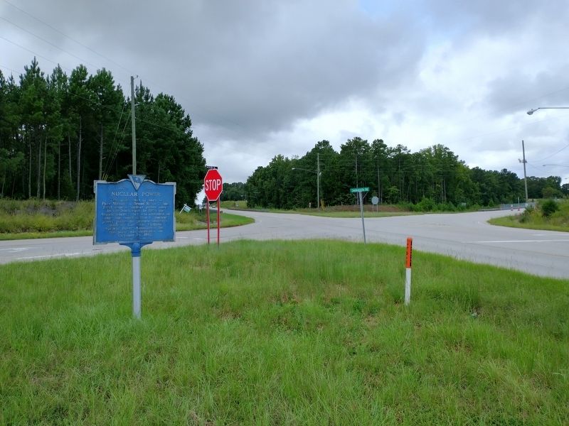
Location. 34° 15.86′ N, 81° 18.228′ W. Marker is in Parr, South Carolina, in Fairfield County. Marker is at the intersection of State Highway 213 and Jenkinsville Road, on the right when traveling north on State Highway 213. Touch for map. Marker is in this post office area: Jenkinsville SC 29065, United States of America. Touch for directions.
Other nearby markers. At least 8 other markers are within 7 miles of this marker, measured as the crow flies. Peak (approx. 1.9 miles away); Hope Rosenwald School (approx. 3˝ miles away); St. John's Church (approx. 3.9 miles away); Industry Evolution on the Broad River (approx. 4˝ miles away); a different marker also named Industry Evolution on the Broad River (approx. 4˝ miles away); Old Brick Church (approx. 4˝ miles away); Kincaid-Anderson House (approx. 5.1 miles away); Pomaria (approx. 6.4 miles away).
Also see . . . History of the Broad River Development From Henderson Island to Hampton Island. (Submitted on November 10, 2020, by Tom Bosse of Jefferson City, Tennessee.)
Credits. This page was last revised on November 11, 2020. It was originally submitted on November 10, 2020, by Tom Bosse of Jefferson City, Tennessee. This page has been viewed 285 times since then and 31 times this year. Photos: 1, 2. submitted on November 10, 2020, by Tom Bosse of Jefferson City, Tennessee. • Bernard Fisher was the editor who published this page.

