Owensboro in Daviess County, Kentucky — The American South (East South Central)
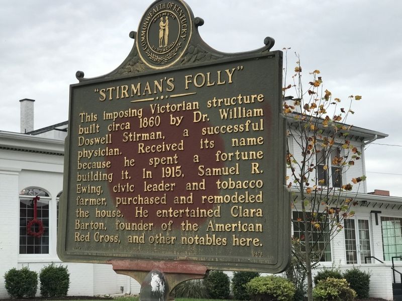
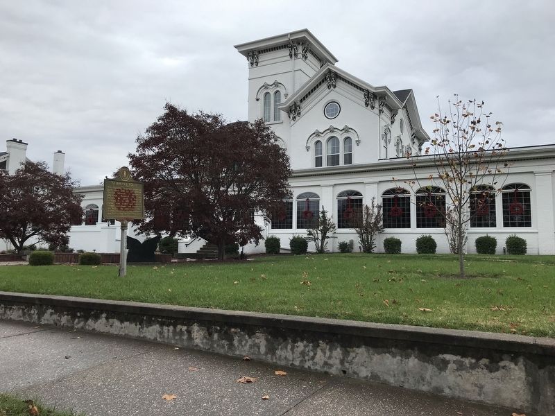
"Stirman's Folly"
Erected 1973 by Kentucky Historical Society and Kentucky Department of Highways. (Marker Number 1478.)
Topics and series. This historical marker is listed in this topic list: Architecture. In addition, it is included in the Kentucky Historical Society series list. A significant historical year for this entry is 1860.
Location. 37° 46.242′ N, 87° 6.92′ W. Marker is in Owensboro, Kentucky, in Daviess County. Marker is on Locust Street north of West 7th Street, on the right when traveling north. Touch for map. Marker is at or near this postal address: 519 Locust Street, Owensboro KY 42301, United States of America. Touch for directions.
Other nearby markers. At least 8 other markers are within walking distance of this marker. Old Trinity Centre Parking Area (within shouting distance of this marker); Old Trinity Centre (about 400 feet away, measured in a direct line); Moneta J. Sleet, Jr. / Pulitzer Prize Winner (approx. 0.2 miles away); Confederate Congressional Medal of Honour (approx. ¼ mile away); George Graham Vest / "Tribute to a Dog" (approx. ¼ mile away); Fourth Street Baptist Church (approx. ¼ mile away); Wendell H. Ford (approx. ¼ mile away); Dr. and Mrs. Clay E. Simpson, Sr. (approx. ¼ mile away). Touch for a list and map of all markers in Owensboro.
Also see . . . Stirman's Folly (Clio). Christina Clary on behalf of Kentucky Room Daviess County Public Library. "Stirman's Folly." Clio: Your Guide to History. December 16, 2019. Accessed November 15, 2020. (Submitted on November 15, 2020, by Duane and Tracy Marsteller of Murfreesboro, Tennessee.)
Credits. This page was last revised on November 15, 2020. It was originally submitted on November 15, 2020, by Duane and Tracy Marsteller of Murfreesboro, Tennessee. This page has been viewed 393 times since then and 37 times this year. Photos: 1, 2. submitted on November 15, 2020, by Duane and Tracy Marsteller of Murfreesboro, Tennessee.

