Near Ravanna in Finney County, Kansas — The American Midwest (Upper Plains)
Beersheba
Courtesy of Elizabeth Winter, May 2, 2014
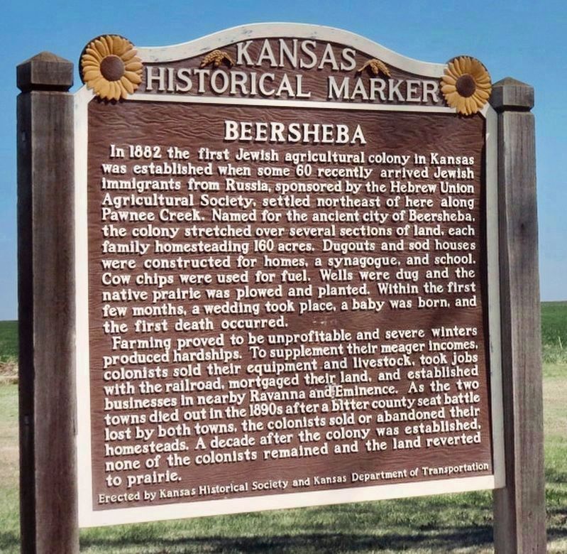
1. Beersheba Marker
Farming proved to be unprofitable and severe winters produced hardships. To supplement their meager incomes, colonists sold their equipment and livestock, took jobs with the railroad, mortgaged their land, and established businesses in nearby Ravanna and Eminence. As the two towns died out in the 1890s after a bitter county seat battle lost by both towns, the colonists sold or abandoned their homesteads. A decade after the colony was established, none of the colonists remained and the land reverted to prairie.
Erected by Kansas
this page online
Topics and series. This historical marker is listed in these topic lists: Agriculture • Immigration • Religion & Religious Structures • Settlements & Settlers. In addition, it is included in the Kansas Historical Society series list. A significant historical year for this entry is 1882.
Location. 38° 3.561′ N, 100° 27.706′ W. Marker is near Ravanna, Kansas, in Finney County. It is at the intersection of Kansas Route 156 and Route 23, on the right when traveling west on Kansas Route 156. Located in rest area. Touch for map. Marker is in this post office area: Cimarron KS 67835, United States of America. Touch for directions.

Regionally, this marker is in the American Midwest, in the Corn Belt, on the prairies, on the Great Plains, on the Southern Plains, and specifically on the High Plains. Globally, it is in North America, the Western Hemisphere, the Western World, and the Anglosphere. Historically, it finds itself in what was once the Comanchería, the Dust Bowl, and the Louisiana Purchase.
Courtesy of Elizabeth Winter, May 2, 2014
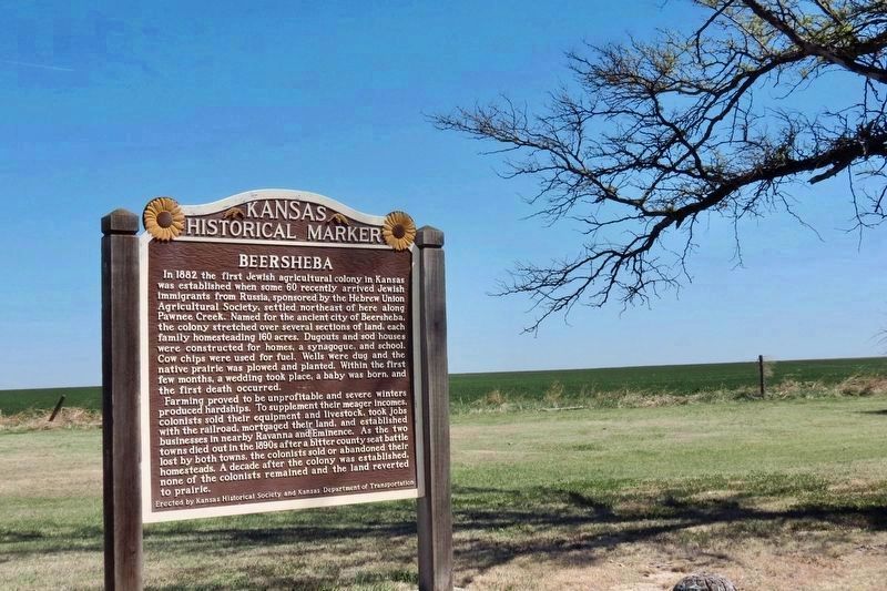
2. Beersheba Marker
Credits. This page was last revised on December 15, 2024. It was originally submitted on November 16, 2020, by Mark Hilton of Montgomery, Alabama. This page has been viewed 1,628 times since then and 144 times this year. Photos: 1, 2. submitted on November 16, 2020, by Mark Hilton of Montgomery, Alabama.
