Parkesburg in Chester County, Pennsylvania — The American Northeast (Mid-Atlantic)
Parkesburg Area Soldiers
World War I
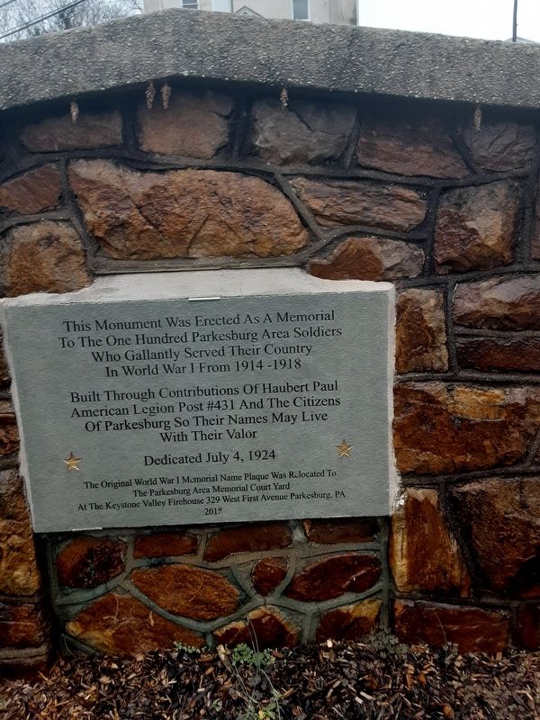
To The One Hundred Parkesburg Area Soldiers
Who Gallantly Served Their Country
In World War I From 1914 -1918
Built Through Contributions Of Haubert Paul
American Legion Post #431 And The Citizens
Of Parkesburg So Their Names May Live
With Their Valor
Dedicated July 4, 1924
The Original World War I Memorial Name Plaque Was
Relocated To
The Parkesburg Area Memorial Court Yard
At The Keystone Valley Firehouse 329 West First Avenue Parkesburg, PA
2018
Erected 1924 by Haubert Paul American Legion Post #431 and the citizens of Parkesburg.
Topics. This memorial is listed in this topic list: War, World I.
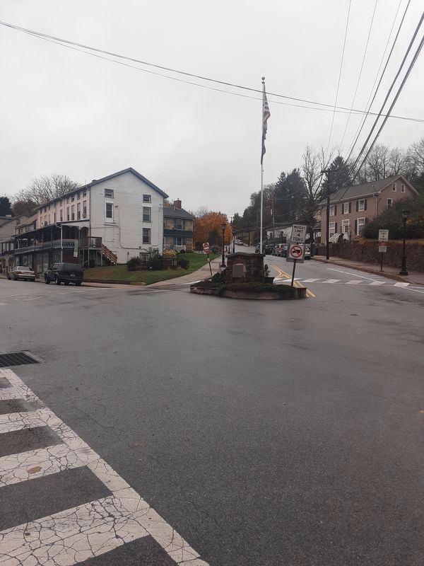
Location. 39° 57.674′ N, 75° 55.059′ W. Marker is in Parkesburg, Pennsylvania, in Chester County. Memorial is at the intersection of Main Street and Strasburg Avenue, on the right when traveling west on Main Street. The marker is on an island at the beginning of Strasburg Avenue. Touch for map. Marker is in this post office area: Parkesburg PA 19365, United States of America. Touch for directions.
Other nearby markers. At least 8 other markers are within 4 miles of this marker, measured as the crow flies. 1917-1918 (about 700 feet away, measured in a direct line); Parkesburg World War II Memorial (about 700 feet away); World War II (approx. 3.1 miles away); Atglen (approx. 3.1 miles away); Atglen Borough Hall (approx. 3.1 miles away); East Octoraro #1 Bridge (1910-2020) (approx. 3.9 miles away); Mercer’s Mill Covered Bridge (1880) (approx. 4 miles away); Christiana Riot Monument (approx. 4.1 miles away). Touch for a list and map of all markers in Parkesburg.
Credits. This page was last revised on October 8, 2021. It was originally submitted on November 11, 2020, by Carl Gordon Moore Jr. of North East, Maryland. This page has been viewed 368 times since then and 73 times this year. Last updated on November 17, 2020, by Carl Gordon Moore Jr. of North East, Maryland. Photos: 1. submitted on November 11, 2020, by Carl Gordon Moore Jr. of North East, Maryland. 2. submitted on November 12, 2020, by Carl Gordon Moore Jr. of North East, Maryland. • Bill Pfingsten was the editor who published this page.

