Overland in St. Louis County, Missouri — The American Midwest (Upper Plains)
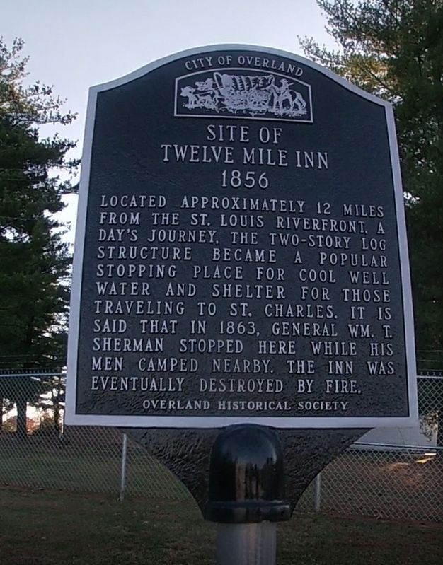
Site of Twelve Mile Inn
1856
— City of Overland —
Erected by Overland Historical Society.
Topics and series. This historical marker is listed in this topic list: Industry & Commerce. In addition, it is included in the Missouri, Overland Historical Society series list. A significant historical year for this entry is 1856.
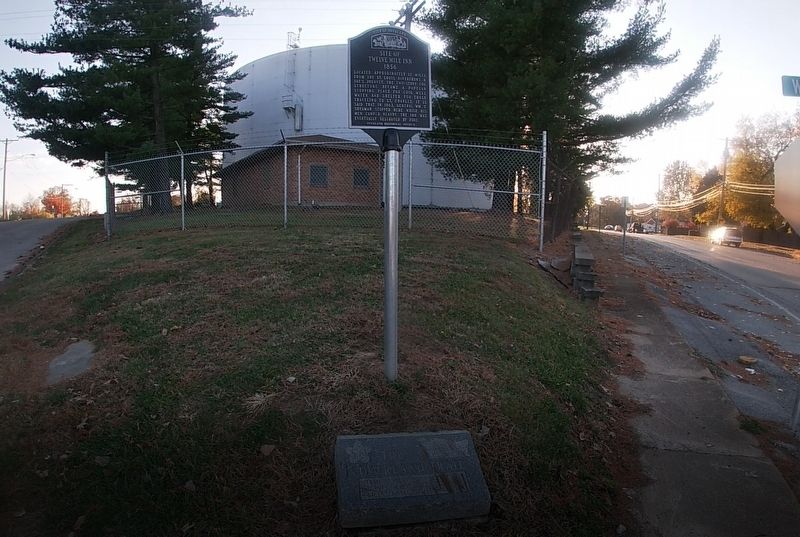
Location. 38° 41.97′ N, 90° 20.751′ W. Marker is in Overland, Missouri, in St. Louis County. Marker is at the intersection of Lackland Road and Walton Road, on the left when traveling west on Lackland Road. Touch for map. Marker is at or near this postal address: 8605 Lackland Rd, Saint Louis MO 63114, United States of America. Touch for directions.
Other nearby markers. At least 8 other markers are within walking distance of this marker. The Overland Trail (here, next to this marker); Randolph Laughlin House (approx. 0.4 miles away); Site of Charles / James Loring House (approx. 0.4 miles away); Site of Grace Van Studiford House (approx. half a mile away); Lake Sherwood (approx. 0.6 miles away); Site of Daniel Boone's Cabin (approx. 0.6 miles away); Site of Caleb Baldwin House (approx. 0.7 miles away); William Heidbrink & Clarence A. Fritz Building (approx. ¾ mile away). Touch for a list and map of all markers in Overland.
More about this marker. This marker was at one time believed to be missing, as it was not in its spot during early 2020 (it was originally placed there in the late 2000's). It has been placed back, with its accompanying Overland Trail marker.
Credits. This page was last revised on November 18, 2020. It was originally submitted on November 18, 2020, by Jason Voigt of Glen Carbon, Illinois. This page has been viewed 381 times since then and 40 times this year. Photos: 1, 2. submitted on November 18, 2020, by Jason Voigt of Glen Carbon, Illinois.

