Salem in Rockingham County, New Hampshire — The American Northeast (New England)
The Pattee Area
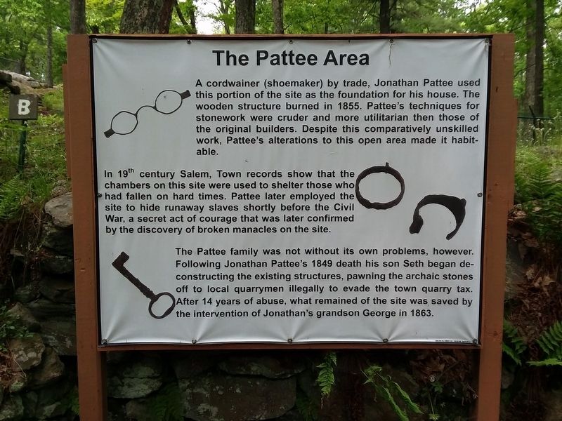
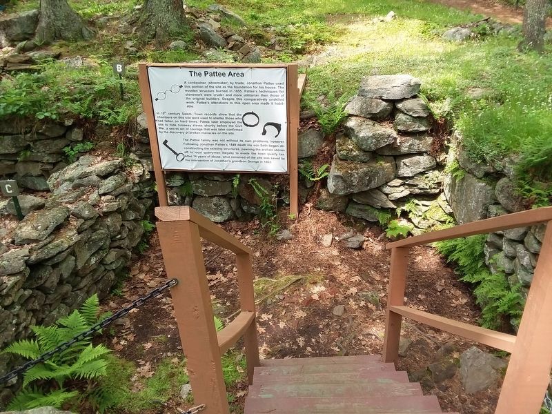
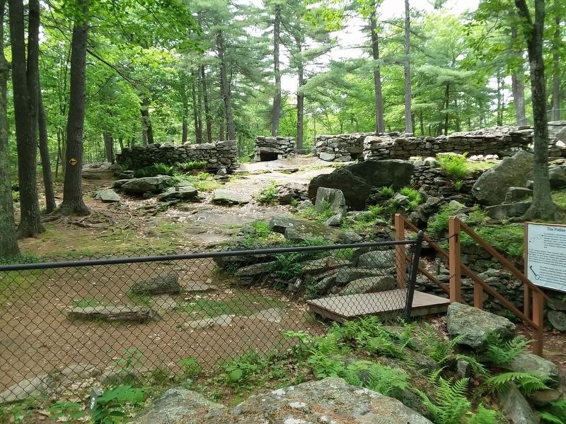
A cordwainer (shoemaker) by trade, Jonathan Pattee used this portion of the site as the foundation for his house. The wooden structure burned in 1855. Pattee's techniques for stonework were cruder and more utilitarian then those of the original builders. Despite this comparatively unskilled work, Pattee's alterations to this open area made it habit- able. In 19th century Salem, Town records show that the chambers on this site were used to shelter those who had fallen on hard times. Pattee later employed the site to hide runaway slaves shortly before the Civil War, a secret act of courage that was later confirmed by the discovery of broken manacles on the site. The Pattee family was not without its own problems, however. Following Jonathan Pattee's 1849 death his son Seth began de- constructing the existing structures, pawning the archaic stones off to local quarrymen illegally to evade the town quarry tax. After 14 years of abuse, what remained of the site was saved by the intervention of Jonathan's grandson George in 1863.
Topics. This historical marker is listed in this topic list: Settlements & Settlers. A significant historical year for this entry is 1855.
Location. 42° 50.5′ N, 71° 12.55′ W. Marker is in Salem, New Hampshire, in Rockingham County. Marker can be reached from Haverhill Road west of Theodore Avenue, on the left when traveling north. Touch for map. Marker is in this post office area: Salem NH 03079, United States of America. Touch for directions.
Other nearby markers. At least 8 other markers are within 9 miles of this marker, measured as the crow flies. Native American Wigwam (about 500 feet away, measured in a direct line); Native American Dugout Canoe (about 500 feet away); Three Sisters Garden (about 600 feet away); America's Stonehenge (approx. 0.2 miles away); Chester Civil War Memorial (approx. 8.3 miles away); Stevens Memorial Hall (approx. 8.3 miles away); Chester American Revolutionary War Memorial (approx. 8.3 miles away); The Chester Congregational Church (approx. 8.4 miles away). Touch for a list and map of all markers in Salem.
Credits. This page was last revised on November 28, 2020. It was originally submitted on November 22, 2020, by Craig Doda of Napoleon, Ohio. This page has been viewed 133 times since then and 18 times this year. Photos: 1, 2, 3. submitted on November 22, 2020, by Craig Doda of Napoleon, Ohio. • Michael Herrick was the editor who published this page.


