Owendale in Huron County, Michigan — The American Midwest (Great Lakes)
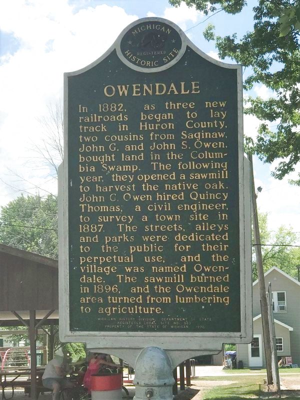
Owendale
Erected 1976 by Michigan History Division, Department of State. (Marker Number L383.)
Topics and series. This historical marker is listed in these topic lists: Industry & Commerce • Settlements & Settlers. In addition, it is included in the Michigan Historical Commission series list. A significant historical year for this entry is 1882.
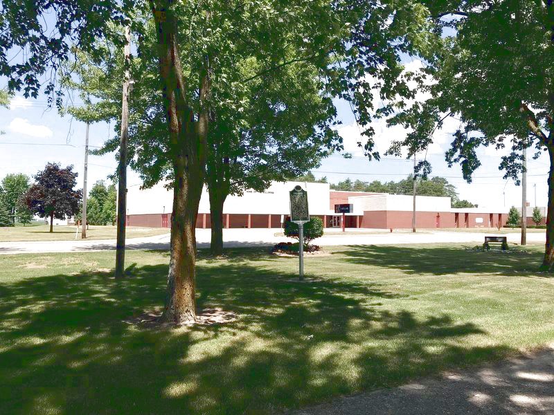
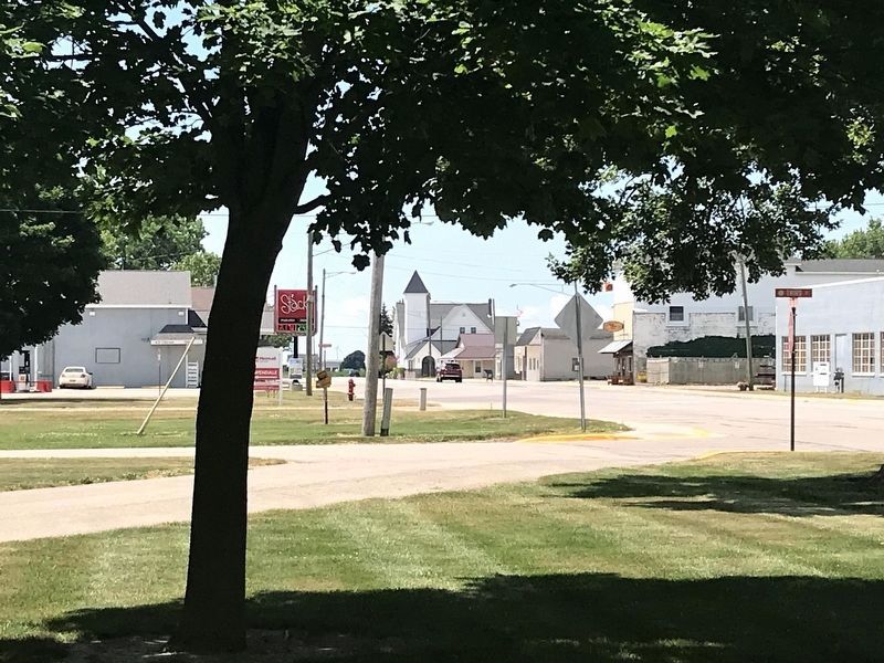
Location. 43° 43.735′ N, 83° 15.951′ W. Marker is in Owendale, Michigan, in Huron County. Marker is on Main Street, 0.6 miles east of South Caseville Road, on the right when traveling east. Located in Owendale Village Park, on the south side of Main Street, between 2nd and 3rd Streets, across the street from the Owendale Gagetown High School. Touch for map. Marker is at or near this postal address: 3569 3rd St, Owendale MI 48754, United States of America. Touch for directions.
Other nearby markers. At least 8 other markers are within 5 miles of this marker, measured as the crow flies. One Room Schoolhouse (approx. 4.7 miles away); Grain Elevator (approx. 4.7 miles away); Powerhouse (approx. 4.7 miles away); Cider Mill (approx. 4.7 miles away); Octagon Barn (approx. 4.7 miles away); Blacksmith Shop (approx. 4.7 miles away); Sugar Shack (approx. 4.7 miles away); House (approx. 4.7 miles away).
Credits. This page was last revised on November 26, 2020. It was originally submitted on November 24, 2020, by John Garman of Rochester Hills. This page has been viewed 239 times since then and 40 times this year. Photos: 1, 2, 3. submitted on November 24, 2020, by John Garman of Rochester Hills. • Mark Hilton was the editor who published this page.


