Bartlett in Carroll County, New Hampshire — The American Northeast (New England)
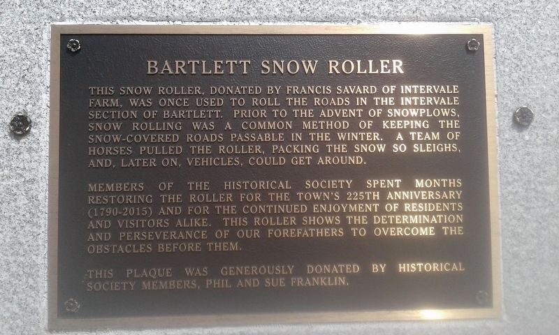
Bartlett Snow Roller
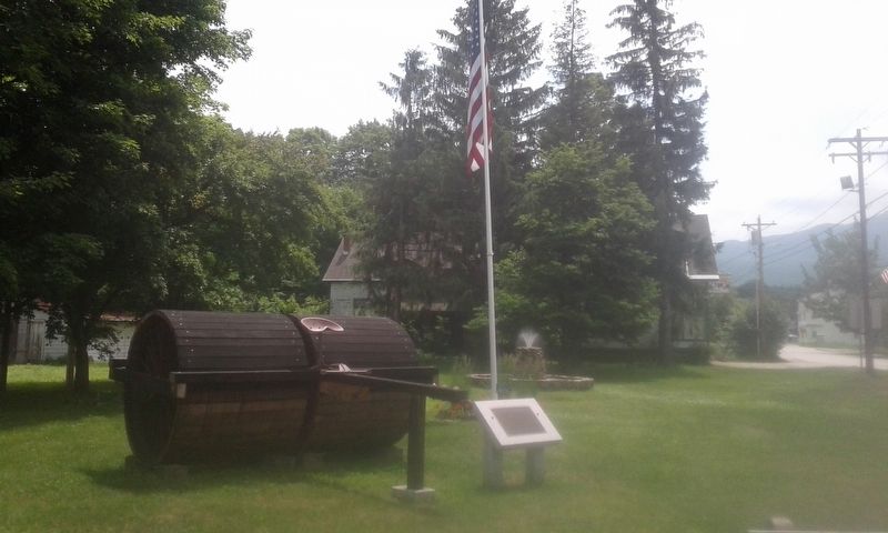
This snow roller, donated by Francis Savard of Intervale Farm, was once used to roll the roads in the Intervale section of Bartlett. Prior to the advent of snowplows, snow rolling was a common method of keeping the snow-covered roads passable in the winter. A team of horses pulled the roller, packing the snow so sleighs, and, later on, vehicles, could get around.
Members of the historical society spent months restoring the roller for the town's 225th anniversary (1790 - 2015) and for the continued enjoyment of residents and visitors alike. This roller shows the determination and perseverance of our forefathers to overcome the obstacles before them.
This plaque was generously donated by Historical Society members, Phil and Sue Franklin.
Erected by Phil and Sue Franklin.
Topics. This historical marker is listed in this topic list: Industry & Commerce.
Location. 44° 4.68′ N, 71° 16.921′ W. Marker is in Bartlett, New Hampshire, in Carroll County. Marker is at the intersection of Main Street (U.S. 302) and Albany Avenue, on the left when traveling west on Main Street. Touch for map. Marker is in this post office area: Bartlett NH 03812, United States of America. Touch for directions.
Other nearby markers. At least 8 other markers are within 7 miles of this marker, measured as the crow flies. Bartlett, N.H. Veterans Memorial (within shouting distance of this marker); Piece of Sawyer's Rock (within shouting distance of this marker); Crawford Notch Road (approx. 2.3 miles away); Sawyer's Rock (approx. 2.3 miles away); How the Covered Bridge was Built (approx. 5.4 miles away); Cart Roads and Wagon Paths Connect a Community (approx. 5.4 miles away); Lady Blanche House (approx. 5.8 miles away); The Jackson Covered Bridge (approx. 6˝ miles away). Touch for a list and map of all markers in Bartlett.
Credits. This page was last revised on December 3, 2020. It was originally submitted on November 25, 2020, by Craig Doda of Napoleon, Ohio. This page has been viewed 278 times since then and 26 times this year. Photos: 1, 2. submitted on November 25, 2020, by Craig Doda of Napoleon, Ohio. • Michael Herrick was the editor who published this page.

