Fort Davis Railroad Depot
⎯⎯⎯
Fort Davis Community
Macon County
Macon County
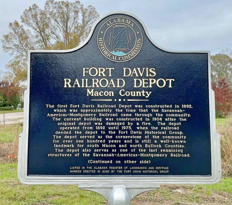
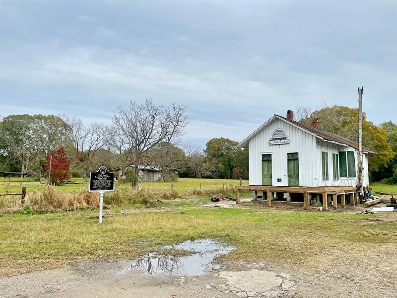
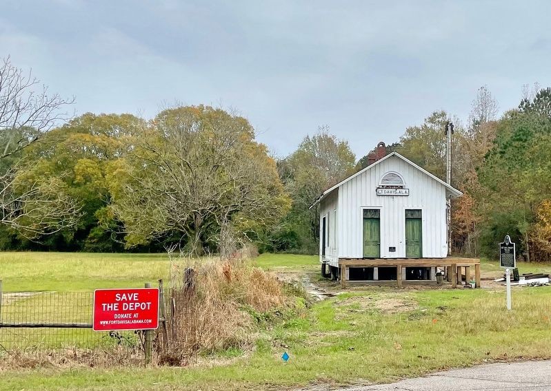
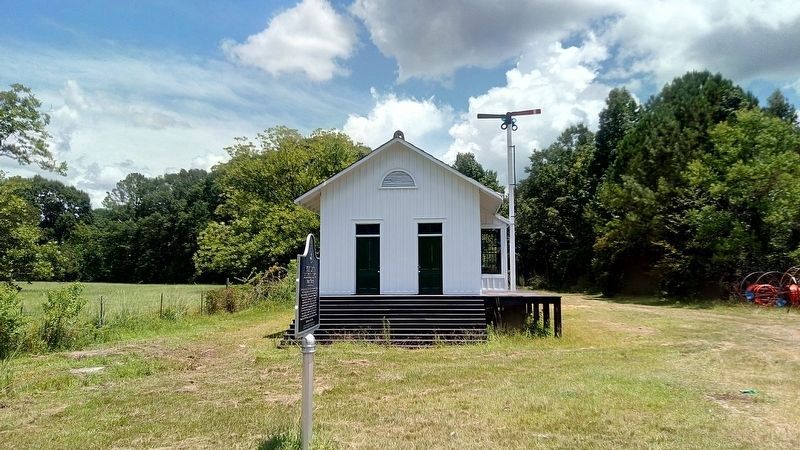
The first Fort Davis Railroad Depot was constructed in 1892, which was approximately the time that the Savannah-Americus-Montgomery Railroad came through the community. The current building was constructed in 1904 after the original depot was damaged by a fire. The depot operated from 1892 until 1975, when the railroad deeded the depot to the Fort Davis Historical Group. The depot served as the cornerstone of the community for over one hundred years and is still a well-known landmark for South Macon and north Bullock Counties. The depot also serves as one of the last remaining structures of the Savannah-Americus-Montgomery Railroad.
Macon County
(Continued from other side)
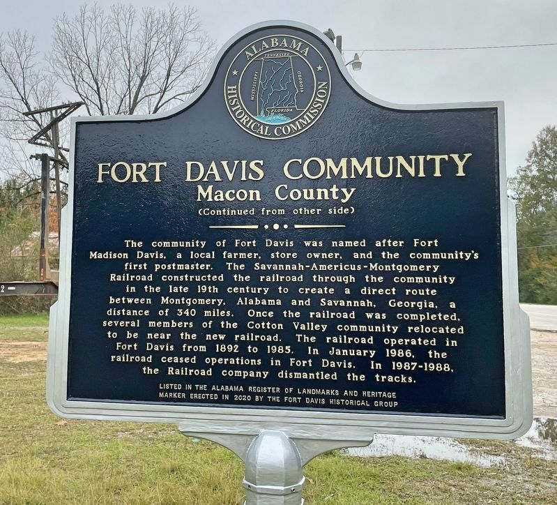
The community of Fort Davis was named after Fort Madison Davis, a local farmer, store owner, and the community's first postmaster. The Savannah-Americus-Montgomery Railroad constructed the railroad through the community in the late 19th century to create a direct route between Montgomery, Alabama and Savannah, Georgia, a distance of 340 miles.
this page online
Erected 2020 by the Fort Davis Historical Group.
Topics. This historical marker is listed in these topic lists: Railroads & Streetcars • Settlements & Settlers. A significant historical month for this entry is January 1986.
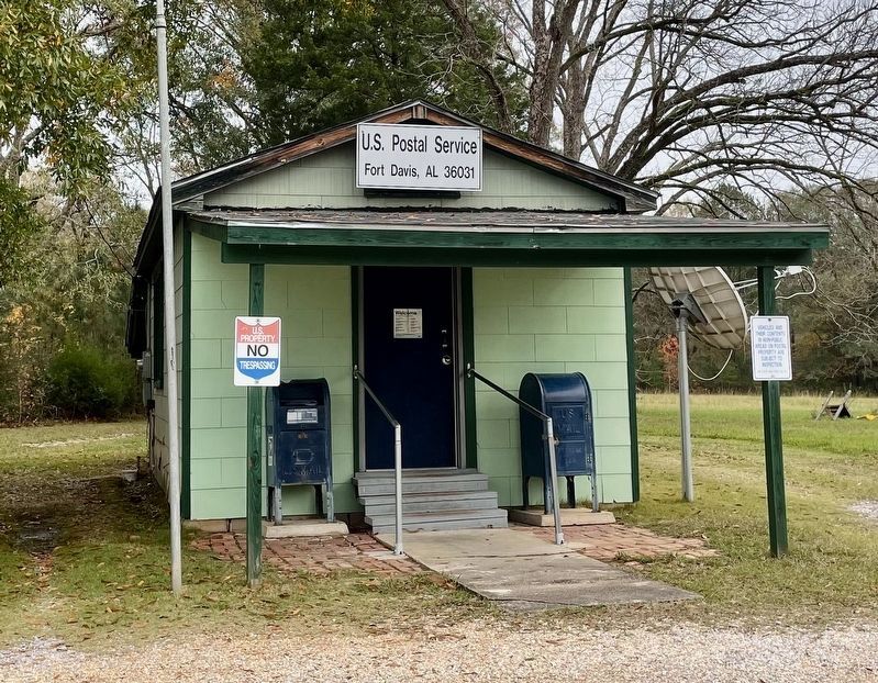
Location. 32° 14.596′ N, 85° 42.553′ W. Marker is in Fort Davis, Alabama, in Macon County. It is on U.S. 29 north of County Road 2, on the right when traveling north. Touch for map. Marker is in this post office area: Fort Davis AL 36031, United States of America. Touch for directions.
Regionally, this marker is in the American South, specifically in the Deep South, and in the Black Belt. Globally, it is in North America, a Gulf of Mexico state, the Western Hemisphere, the Western World, and the Anglosphere. Historically, it finds itself in what was
Other nearby markers. At least 8 other markers are within 7 miles of this marker, measured as the crow flies: Elizabeth Missionary Baptist Church (approx. 0.3 miles away); Eddie Kendricks (approx. 6.7 miles away); Depot & Coal Shute (approx. 6.7 miles away); Union Springs, Alabama (approx. 6.8 miles away); Bullock County Courthouse Historic District (approx. 6.8 miles away); Hank Williams (approx. 6.8 miles away); Trinity Episcopal Church / Red Door Theater (approx. 6.9 miles away); Log Cabin Museum / Old City Cemetery (approx. 6.9 miles away).
Also see . . . Places in Peril - Fort Davis. Alabama Heritage website entry (Submitted on November 28, 2020, by Mark Hilton of Montgomery, Alabama.)
Credits. This page was last revised on September 14, 2024. It was originally submitted on November 28, 2020, by Mark Hilton of Montgomery, Alabama. This page has been viewed 743 times since then and 86 times this year. Photos: 1, 2, 3, 4. submitted on November 28, 2020, by Mark Hilton of Montgomery, Alabama. 5. submitted on July 31, 2022, by James L.Whitman of Eufaula, Alabama. 6. submitted on November 28, 2020, by Mark Hilton of Montgomery, Alabama.
