Shelby in Toole County, Montana — The American West (Mountains)
1964 Flood
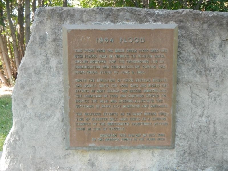
This stone from the Birch Creek Flood area has been placed here in tribute to Station KSEN, Shelby, Montana for its tremendous job of organization and communication during the disastrous flood of June, 8, 1964.
Under the direction of their several remote and mobile units for four days and nights the efforts of many Search and Rescue workers and the donation of food and clothing served to reduce the dead and missing, alleviate the suffering of many left homeless and marooned.
The selfless efforts of so many during this time of disaster will long serve as a shining example of the Westerner's traditional helping hand in time of trouble.
Dedicated this 18th day of July, 1964 by the Grateful People of the Flood Area.
Erected 1964 by Grateful People of the Flood Area.
Topics. This historical marker is listed in these topic lists: Communications • Disasters. A significant historical date for this entry is June 8, 1964.
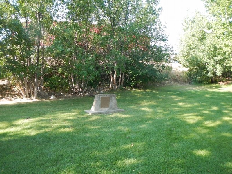
Location. 48° 30.263′ N, 111° 51.284′ W. Marker is in Shelby, Montana, in Toole County. Marker is on Main Street (U.S. 2) near Montana Avenue. Touch for map. Marker is at or near this postal address: 110 Main Street, Shelby MT 59474, United States of America. Touch for directions.
Other nearby markers. At least 5 other markers are within 4 miles of this marker, measured as the crow flies. Shelby Town Hall (within shouting distance of this marker); Rainbow Conoco (approx. ¼ mile away); The Oily Boid Gets The Woim (approx. 2 miles away); The Baker Massacre (approx. 3.2 miles away); Whoop Up Trail (approx. 3½ miles away).
Also see . . . Radio station reported Swift dam failure. Great Falls Tribune website entry:
When Swift Dam on Birch Creek broke, the radio station was called and broadcast the news and a warning to evacuate immediately. The cascade of water down Birch Creek claimed the lives of 19 residents of the Blackfeet Reservation. (Submitted on November 30, 2020, by Barry Swackhamer of Brentwood, California.)
Credits. This page was last revised on February 19, 2023. It was originally submitted on November 30, 2020, by Barry Swackhamer of Brentwood, California. This page has been viewed 358 times since then and 78 times this year. Photos: 1, 2. submitted on November 30, 2020, by Barry Swackhamer of Brentwood, California.

