Smoketown in Louisville in Jefferson County, Kentucky — The American South (East South Central)
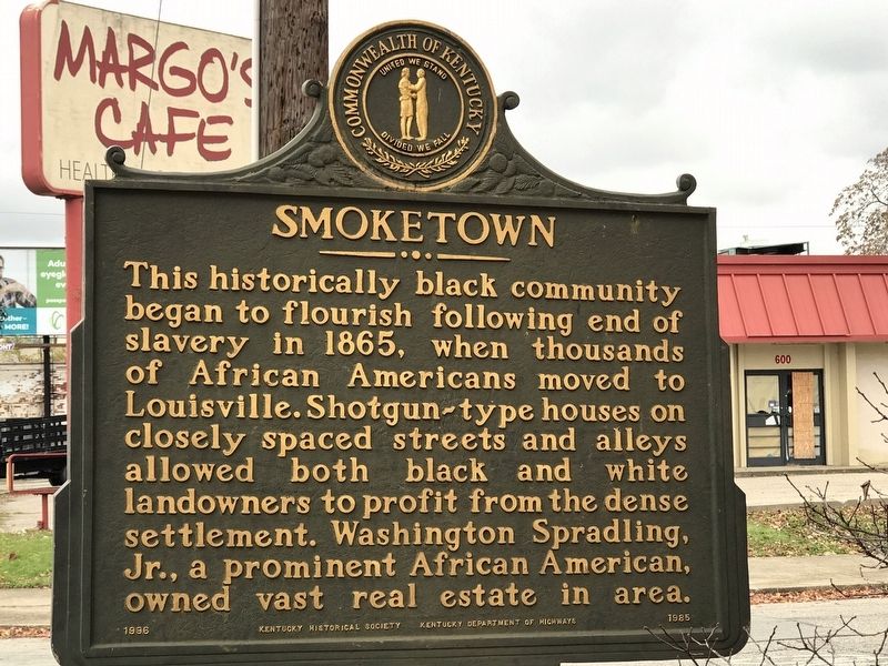
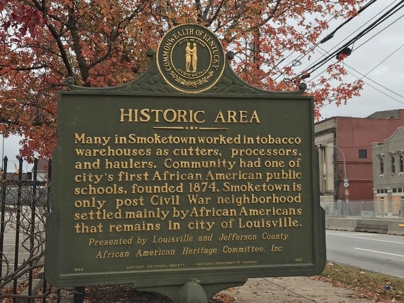
Smoketown / Historic Area
African American Heritage Committee, Inc.
Erected 1996 by Kentucky Historical Society and Kentucky Department of Highways. (Marker Number 1985.)
Topics and series. This historical marker is listed in these topic lists: African Americans • Architecture • Industry & Commerce • Settlements & Settlers. In addition, it is included in the Kentucky Historical Society series list. A significant historical year for this entry is 1865.
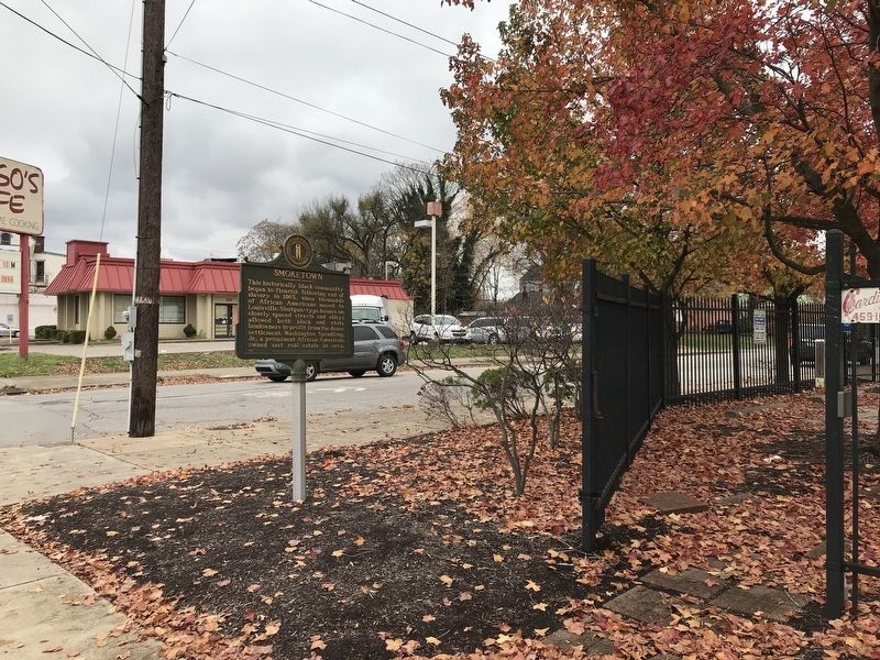
Location. 38° 14.693′ N, 85° 44.627′ W. Marker is in Louisville, Kentucky, in Jefferson County. It is in Smoketown. Marker is at the intersection of East Broadway and South Hancock Street, on the right when traveling east on East Broadway. Touch for map. Marker is in this post office area: Louisville KY 40202, United States of America. Touch for directions.
Other nearby markers. At least 8 other markers are within walking distance of this marker. Green Street Baptist Church (about 500 feet away, measured in a direct line); Rev. William H. Sheppard (about 700 feet away); First Lutheran Church (approx. 0.2 miles away); Presbyterian Community Center (approx. 0.2 miles away); Father Herman Felhoelter / Sacrifice in Korea (approx. ¼ mile away); Louis D. Brandeis Home / Louis D. Brandeis (approx. 0.3 miles away); St. Paul's German Evangelical Church (approx. 0.4 miles away); St. Boniface Parish (approx. 0.4 miles away). Touch for a list and map of all markers in Louisville.
Also see . . . Smoketown Originals. Website homepage (Submitted on January 11, 2022, by Larry Gertner of New York, New York.)
Credits. This page was last revised on February 12, 2023. It was originally submitted on November 30, 2020, by Duane and Tracy Marsteller of Murfreesboro, Tennessee. This page has been viewed 245 times since then and 29 times this year. Photos: 1, 2. submitted on November 30, 2020, by Duane and Tracy Marsteller of Murfreesboro, Tennessee. 3. submitted on December 1, 2020, by Duane and Tracy Marsteller of Murfreesboro, Tennessee.


