Smoketown in Louisville in Jefferson County, Kentucky — The American South (East South Central)
Presbyterian Community Center
Inscription.
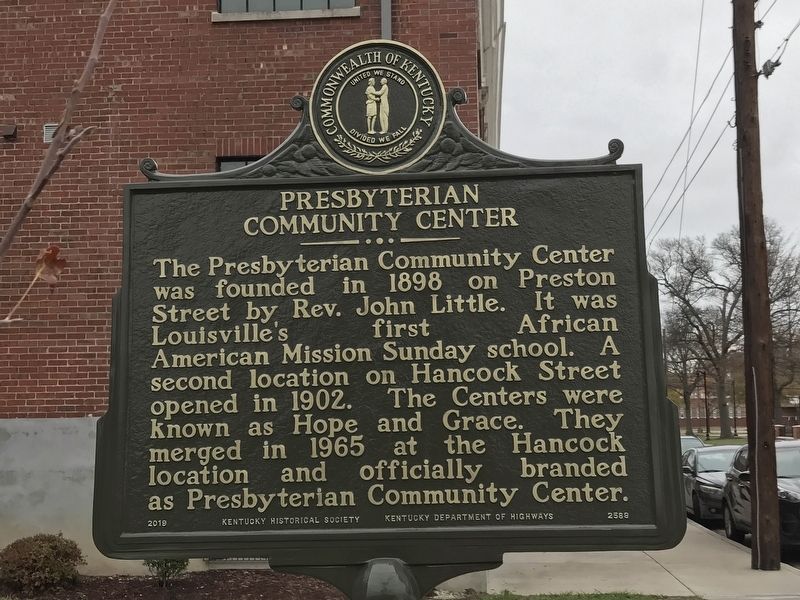
The Presbyterian Community Center was founded in 1898 on Preston Street by Rev. John Little. It was Louisville’s first African American Mission Sunday school. A second location on Hancock Street opened in 1902. The Centers were known as Hope and Grace. They merged in 1965 at the Hancock location and officially branded as Presbyterian Community Center.
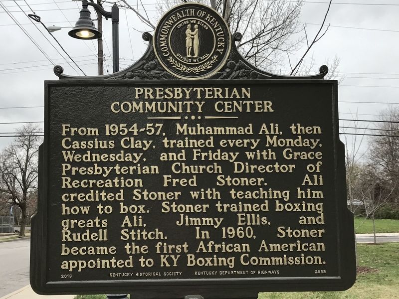
From 1954-57, Muhammad Ali, then Cassius Clay, trained every Monday, Wednesday, & Friday with Grace Presbyterian Church Director of Recreation Fred Stoner. Ali credited Stoner with teaching him how to box. Stoner trained boxing greats Ali, Jimmy Ellis, & Rudell Stitch. In 1960, Stoner became the first African American appointed to KY Boxing Commission.
Erected 2019 by Kentucky Historical Society and Kentucky Department of Highways. (Marker Number 2589.)
Topics and series. This historical marker is listed in these topic lists: African Americans • Charity & Public Work • Churches & Religion • Sports. In addition, it is included in the Kentucky Historical Society series list. A significant historical year for this entry is 1898.
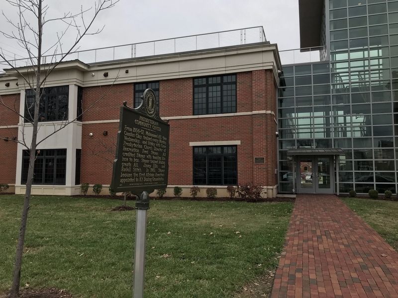
Location. 38° 14.523′ N, 85° 44.649′ W. Marker is in Louisville, Kentucky, in Jefferson County. It is in Smoketown. Marker is on South Hancock Street south of Roselane Court, on the right when traveling south. Touch for map. Marker is at or near this postal address: 701 South Hancock Street, Louisville KY 40203, United States of America. Touch for directions.
Other nearby markers. At least 8 other markers are within walking distance of this marker. Rev. William H. Sheppard (about 400 feet away, measured in a direct line); Smoketown / Historic Area (approx. 0.2 miles away); First Lutheran Church (approx. ¼ mile away); Green Street Baptist Church (approx. 0.3 miles away); Louis D. Brandeis Home / Louis D. Brandeis (approx. 0.3 miles away); Father Herman Felhoelter / Sacrifice in Korea (approx. 0.4 miles away); Falls City Jeans & Woolen Mills / Kentucky Jeans (approx. 0.4 miles away); Adath Jeshurun Temple and School (approx. 0.4 miles away). Touch for a list and map of all markers in Louisville.
Credits. This page was last revised on February 12, 2023. It was originally submitted on November 30, 2020, by Duane and Tracy Marsteller of Murfreesboro, Tennessee. This page has been viewed 307 times since then and 62 times this year. Photos: 1, 2. submitted on November 30, 2020, by Duane and Tracy Marsteller of Murfreesboro, Tennessee. 3. submitted on December 1, 2020, by Duane and Tracy Marsteller of Murfreesboro, Tennessee.


