Jackson in Carroll County, New Hampshire — The American Northeast (New England)
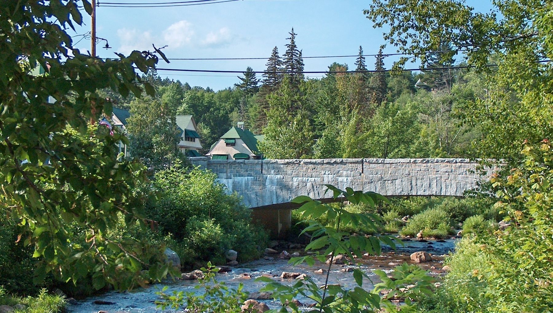
Stone Bridge
Built 1931
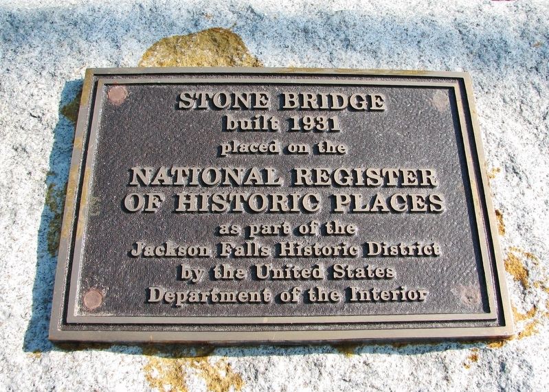
Photographed By Cosmos Mariner, July 16, 2006
1. Stone Bridge Marker
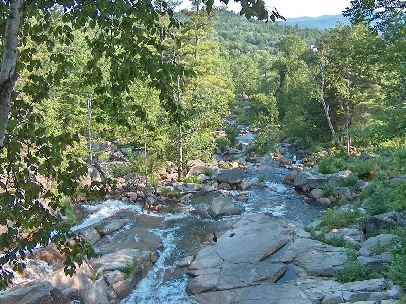
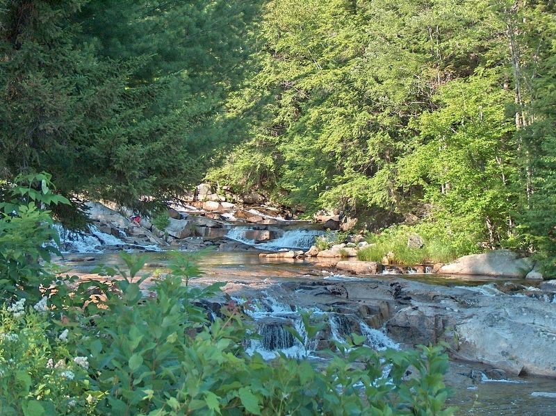
Jackson Falls Historic District
National Register of Historic Places Registration Form:
Click for more information.
National Register of Historic Places Registration Form:
Click for more information.
built 1931
placed on the
National Register
of Historic Places
as part of the
Jackson Falls Historic District
by the United States
Department of the Interior
Topics. This historical marker is listed in this topic list: Bridges & Viaducts. A significant historical year for this entry is 1931.
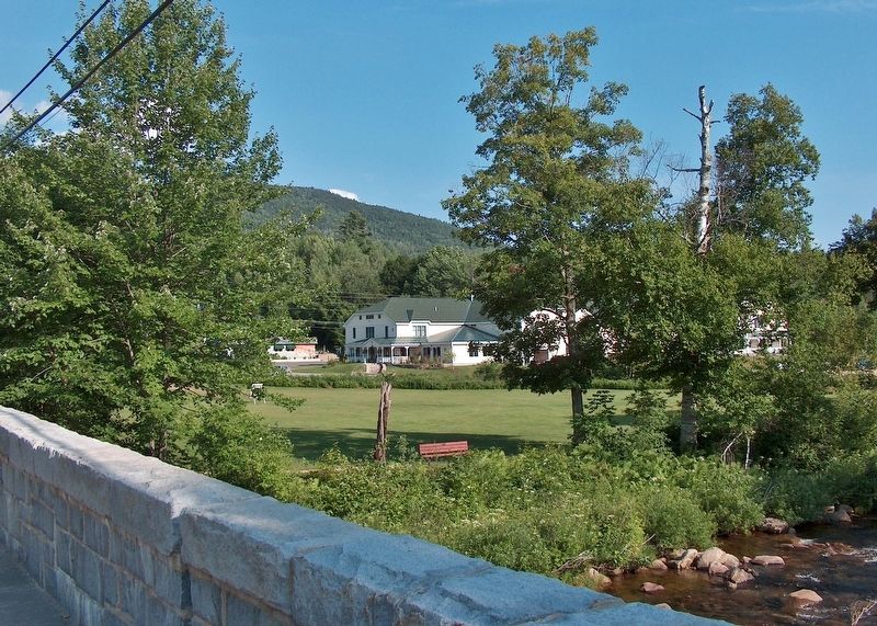
Location. 44° 8.788′ N, 71° 10.911′ W. Marker is in Jackson, New Hampshire, in Carroll County. Marker is at the intersection of Main Street (New Hampshire Route 16A) and Carter Notch Road (New Hampshire Route 16B), on the right when traveling east on Main Street. Marker is mounted at the southwest corner of the subject bridge. Touch for map. Marker is in this post office area: Jackson NH 03846, United States of America. Touch for directions.
Other nearby markers. At least 8 other markers are within 7 miles of this marker, measured as the crow flies. The Jackson Covered Bridge (approx. 0.4 miles away); Lady Blanche House (approx. 4.3 miles away); White Mountain School of Art (approx. 5.3 miles away); In Memory of Joseph Laurent (approx. 5˝ miles away); Piece of Sawyer's Rock (approx. 6.8 miles away); Bartlett Snow Roller (approx. 6.9 miles away); Bartlett, N.H. Veterans Memorial (approx. 6.9 miles away); Caboose B&M 104391 (approx. 6.9 miles away).
Regarding Stone Bridge. Contributing property, Jackson Falls Historic District, NRHP #03000110. Bridge is known locally as the Wildcat Brook Bridge, a concrete rigid frame bridge over Wildcat Brook on NH 16A. Length of largest span: 68.9 ft. Total length: 79.1 ft. Deck width: 24.0 ft.
Credits. This page was last revised on April 22, 2023. It was originally submitted on November 30, 2020, by Cosmos Mariner of Cape Canaveral, Florida. This page has been viewed 117 times since then and 8 times this year. Photos: 1, 2, 3, 4, 5. submitted on November 30, 2020, by Cosmos Mariner of Cape Canaveral, Florida.
