
Old Louisville in Jefferson County, Kentucky — The American South (East South Central)
Calvary Episcopal Church
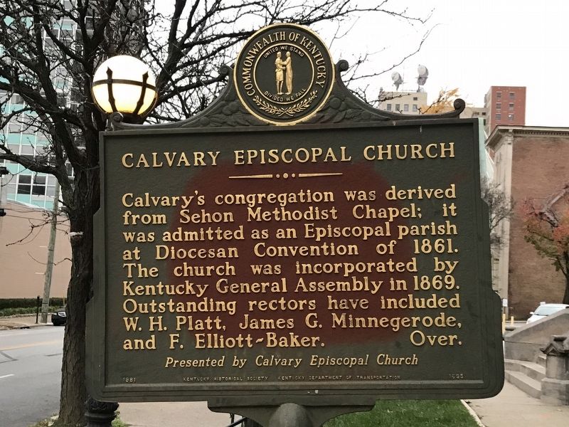
Photographed by Duane and Tracy Marsteller, November 26, 2020
1. Calvary Episcopal Church Marker (Side A)
Calvary's congregation was derived from Sehon Methodist Chapel; it was admitted as an Episcopal parish at Diocesan Convention of 1861. The church was incorporated by Kentucky General Assembly in 1869. Outstanding rectors have included W. H. Platt, James G. Minnegerode, and F. Elliott-Baker.
This building was erected in two stages (1872-76, 1886-88) and is the product of two architects, W. H. Redin and Henry P. McDonald. One of only two cut stone spires in the United States caps the south tower. Calvary Episcopal Church was listed on the National Register of Historic Places, 1978.
Erected 1981 by Kentucky Historical Society and Kentucky Department of Transportation; presented by Calvary Episcopal Church. (Marker Number 1695.)
Topics and series. This historical marker is listed in these topic lists: Architecture • Religion & Religious Structures. In addition, it is included in the Kentucky Historical Society series list. A significant historical year for this entry is 1861.
Location. 38° 14.601′ N, 85° 45.525′ W. Marker is in Louisville, Kentucky, in Jefferson County. It is in Old Louisville. It is on South 4th
this page online

Regionally, this marker is in the American South, specifically in the Upper South, and in the Ohio River Valley. Globally, it is in North America, the Western Hemisphere, the Western World, and the Anglosphere. Historically, it finds itself in what was once the territory of the Mississippian Culture and also the Antebellum South.
Other nearby markers. At least 8 other markers are within walking distance of this marker: Columbia Gym (within shouting distance of this marker); The Derek Smith Gymnasium at Spalding University (within shouting distance of this marker); Dr. J.B. Marvin House (within shouting distance of this marker); First Unitarian Church (about 300 feet away, measured in a direct line); Murray Atkins Walls (about 400 feet away); Immanuel Baptist Church / First Christian-Lampton Baptist (about 400 feet away); Presentation Academy (about 400 feet away); Thierman Apartments (about 600 feet away). Touch for a list and map
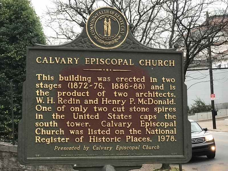
Photographed by Duane and Tracy Marsteller, November 26, 2020
2. Calvary Episcopal Church Marker (Side B)
Other markers no longer nearby. George Denison Prentice (was about 400 feet away but has been permanently removed); Louisville Free Public Library (was about 400 feet away but has been confirmed missing).
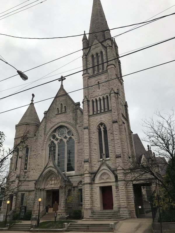
Photographed by Duane and Tracy Marsteller, November 26, 2020
3. Calvary Episcopal Church Marker
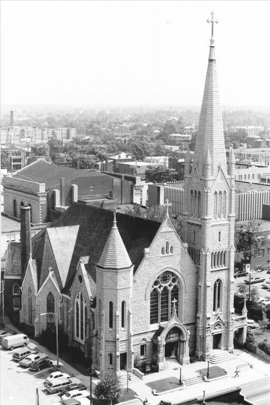
via NPS, unknown
4. Calvary Episcopal Church
National Register of Historic Places Digital Archive on NPGallery website entry
Click for more information.
Click for more information.
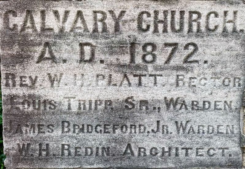
Photographed by Shane Oliver, July 26, 2021
5. Calvary Episcopal Church Cornerstone
Credits. This page was last revised on February 12, 2023. It was originally submitted on December 1, 2020, by Duane and Tracy Marsteller of Murfreesboro, Tennessee. This page has been viewed 910 times since then and 47 times this year. Photos: 1, 2. submitted on December 1, 2020, by Duane and Tracy Marsteller of Murfreesboro, Tennessee. 3. submitted on December 3, 2020, by Duane and Tracy Marsteller of Murfreesboro, Tennessee. 4. submitted on January 12, 2022, by Larry Gertner of New York, New York. 5. submitted on August 5, 2021, by Shane Oliver of Richmond, Virginia.
