Near Chester in Randolph County, Illinois — The American Midwest (Great Lakes)
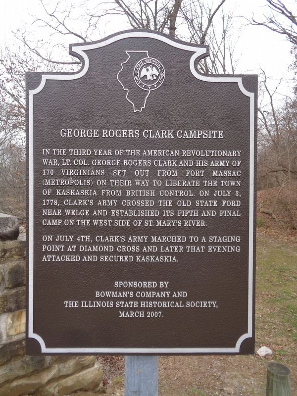
George Rogers Clark Campsite
On July 4th, Clark's army marched to a staging point at Diamond Cross and later that evening attacked and secured Kaskaskia.
Erected 2007 by Bowman's Company and the Illinois State Historical Society.
Topics and series. This historical marker is listed in this topic list: War, US Revolutionary. In addition, it is included in the Illinois State Historical Society series list. A significant historical date for this entry is July 3, 1778.
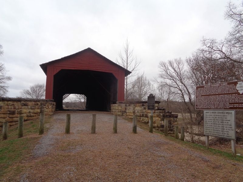
Location. 37° 56.899′ N, 89° 45.955′ W. Marker is near Chester, Illinois, in Randolph County. Marker can be reached from Illinois Route 150, 0.2 miles south of Briarhill Road. Marker is outside the Mary's River Covered Bridge. Touch for map. Marker is at or near this postal address: 3845 State Rte 150, Chester IL 62233, United States of America. Touch for directions.
Other nearby markers. At least 8 other markers are within 4 miles of this marker, measured as the crow flies. Chester-Kaskaskia, Illinois (a few steps from this marker); Mary's River Covered Bridge (a few steps from this marker); Nana Oyl (approx. 1˝ miles away); Rough House (approx. 2.3 miles away); Sea Hag & Bernard the Vulture (approx. 2.6 miles away); Prof. O.G. Wotasnozzle (approx. 3.3 miles away); Castor Oyl & Bernice the Whiffle Hen (approx. 3.3 miles away); Sherlock and Segar (approx. 3.7 miles away). Touch for a list and map of all markers in Chester.
More about this marker. According to the Illinois State Historical Society's website, the marker was dedicated on March 1, 2007. This is one of five markers erected by the ISHS that is titled "George Rogers Clark Campsite" (the others were placed at Jackson, Johnson and Massac counties in Illinois). This was the fifth and last, in chronological order of Clark and his troops' way to Kaskaskia.
Also see . . . George Rogers Clark on Wikipedia. (Submitted on December 2, 2020, by Jason Voigt of Glen Carbon, Illinois.)
Credits. This page was last revised on December 2, 2020. It was originally submitted on December 2, 2020, by Jason Voigt of Glen Carbon, Illinois. This page has been viewed 228 times since then and 41 times this year. Photos: 1, 2. submitted on December 2, 2020, by Jason Voigt of Glen Carbon, Illinois.

