Fort Benton in Chouteau County, Montana — The American West (Mountains)
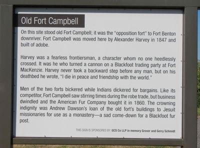
Old Fort Campbell
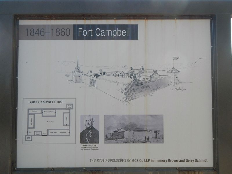
1846-1860 Fort Campbell
Harvey was a fearless frontiersman, a character whom no one heedlessly crossed. It was he who turned a cannon on a Blackfoot trading party at For MacKenzie. Harvey never took a backward step before any man, but on his deathbed he wrote, "I die in peace and friendship with the world."
Men of the two forts bickered while Indians dickered for bargains. Like its competitor, Fort Campbell saw stirrings times during the robe trade, but business dwindled and the American Fur Company bought it in 1960. The crowning indignity was Andrew Dawson's loan of the old fort's buildings to Jesuit missionaries for use as a monastery - a sad come-down for a Blackfoot fur post.
Erected by Fort Benton Chamber of Commerce.
Topics. This historical marker is listed in these topic lists: Churches & Religion • Forts and Castles.
Location. 47° 48.827′ N, 110° 40.159′ W. Marker is in Fort Benton, Montana, in Chouteau County. Marker is on River Street near 11th Street, on the right when traveling north. The marker is located on the river front pathway between Missouri Breaks Interpretive Center and the historic downtown business district. Touch for map. Marker is in this post office area: Fort Benton MT 59442, United States of America. Touch for directions.
Other nearby markers. At least 8 other markers are within walking distance of this marker. Coulson's Steamboat Offices (about 300 feet away, measured in a direct line); Nez Perce Fight (about 400 feet away); Upriver Businesses (about 500 feet away); Stage Lines (about 500 feet away); Great Northern Railway (about 500 feet away); Davidson and Moffitt Harness Shop (about 700 feet away); Whoop Up Trail (about 700 feet away); Fort LaBarge (approx. 0.2 miles away). Touch for a list and map of all markers in Fort Benton.
Credits. This page was last revised on December 3, 2020. It was originally submitted on December 3, 2020, by Barry Swackhamer of Brentwood, California. This page has been viewed 141 times since then and 6 times this year. Photos: 1, 2, 3. submitted on December 3, 2020, by Barry Swackhamer of Brentwood, California.


