Mt. Calm in Hill County, Texas — The American South (West South Central)
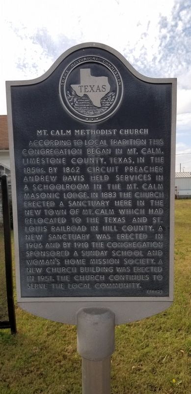
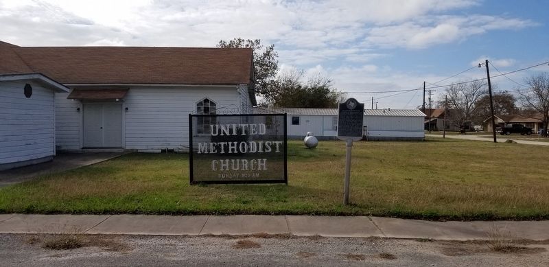
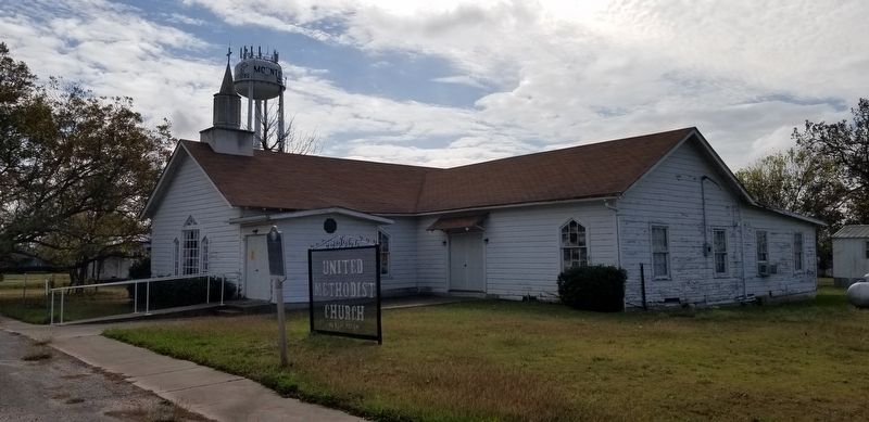
Mt. Calm Methodist Church
According to local tradition this congregation began in Mt. Calm, Limestone County, Texas, in the 1850s. By 1862 circuit preacher Andrew Davis held services in a schoolroom in the Mt. Calm Masonic Lodge. In 1883 the church erected a sanctuary here in the new town of Mt. Calm which had relocated to the Texas and St. Louis Railroad in Hill County. A new sanctuary was erected in 1906 and by 1910 the congregation sponsored a Sunday School and Women's Home Mission Society. A new church building was erected in 1951. The church continues to serve the local community.
Erected 1995 by Texas Historical Commission. (Marker Number 3518.)
Topics. This historical marker is listed in these topic lists: Churches & Religion • Industry & Commerce • Railroads & Streetcars. A significant historical year for this entry is 1862.
Location. 31° 45.491′ N, 96° 52.907′ W. Marker is in Mt. Calm, Texas, in Hill County. Marker is at the intersection of Allyn Avenue (Farm to Market Road 339) and North Fourth Street West, on the left when traveling west on Allyn Avenue. Touch for map. Marker is at or near this postal address: 303 Allyn Avenue, Mount Calm TX 76673, United States of America. Touch for directions.
Other nearby markers. At least 8 other markers are within 8 miles of this marker, measured as the crow flies. First Baptist Church (about 600 feet away, measured in a direct line); Mount Calm Cemetery (approx. 1.7 miles away); Mt. Calm Confederate Memorial (approx. 1.7 miles away); Col. Leonard Williams (approx. 2.4 miles away); Mt. Antioch Cemetery (approx. 2.8 miles away); Birome (approx. 6.2 miles away); Fairview Cemetery (approx. 7.2 miles away); Town of Penelope (approx. 7˝ miles away). Touch for a list and map of all markers in Mt. Calm.
Also see . . .
1. Texas and St. Louis Railroad. TSHA Texas State Historical Association (Submitted on December 4, 2020, by James Hulse of Medina, Texas.)
2. Mt. Calm. TSHA Texas State Historical Association (Submitted on December 4, 2020, by James Hulse of Medina, Texas.)
Credits. This page was last revised on December 4, 2020. It was originally submitted on December 4, 2020, by James Hulse of Medina, Texas. This page has been viewed 146 times since then and 25 times this year. Photos: 1, 2, 3, 4. submitted on December 4, 2020, by James Hulse of Medina, Texas. • J. Makali Bruton was the editor who published this page.


