Middletown in Jefferson County, Kentucky — The American South (East South Central)
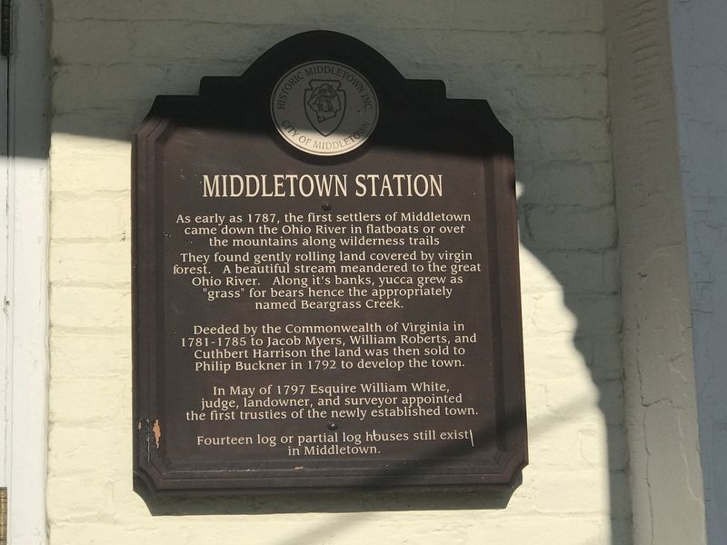
Middletown Station
They found gently rolling land covered by virgin forest. A beautiful stream meandered to the great Ohio River. Along it's banks, yucca grew as "grass” for bears hence the appropriately named Beargrass Creek.
Deeded by the Commonwealth of Virginia in 1781-1785 to Jacob Myers, William Roberts, and Cuthbert Harrison the land was then sold to Philip Buckner in 1792 to develop the town.
In May of 1797 Esquire William White, judge, landowner, and surveyor appointed the first trusties of the newly established town.
Fourteen log or partial log houses still exist in Middletown.
Erected by Historic Middletown Inc. and City of Middletown.
Topics. This historical marker is listed in this topic list: Settlements & Settlers. A significant historical year for this entry is 1781.
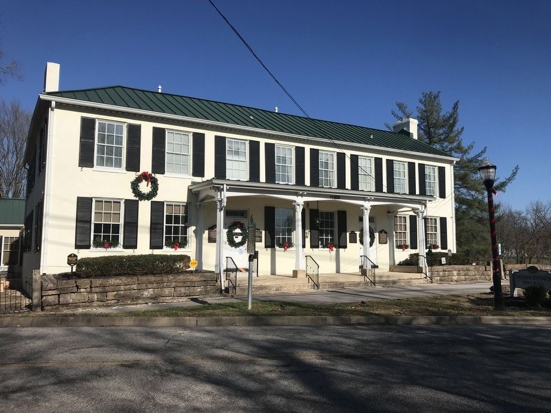
Location. 38° 14.709′ N, 85° 32.226′ W. Marker is in Middletown, Kentucky, in Jefferson County. Marker is on Old Shelbyville Road, 0.1 miles south of Locust Road, on the left when traveling south. Marker is on Middletown City Hall. Touch for map. Marker is at or near this postal address: 11803 Old Shelbyville Road, Louisville KY 40243, United States of America. Touch for directions.
Other nearby markers. At least 8 other markers are within walking distance of this marker. The Wetherby House (here, next to this marker); Davis Tavern (here, next to this marker); Lawrence Winchester Wetherby / Gov. Lawrence W. Wetherby (a few steps from this marker); Middletown Veterans Memorial (within shouting distance of this marker); Gov. Lawrence Wetherby Statue (within shouting distance of this marker); Middletown Methodist Church (about 700 feet away, measured in a direct line); Middletown Inn (about 700 feet away); Milestone / Old Public Well (about 800 feet away). Touch for a list and map of all markers in Middletown.
Credits. This page was last revised on December 6, 2020. It was originally submitted on December 5, 2020, by Duane and Tracy Marsteller of Murfreesboro, Tennessee. This page has been viewed 237 times since then and 32 times this year. Photos: 1. submitted on December 5, 2020, by Duane and Tracy Marsteller of Murfreesboro, Tennessee. 2. submitted on December 6, 2020, by Duane and Tracy Marsteller of Murfreesboro, Tennessee.

