Near Loma in Chouteau County, Montana — The American West (Mountains)
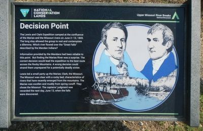
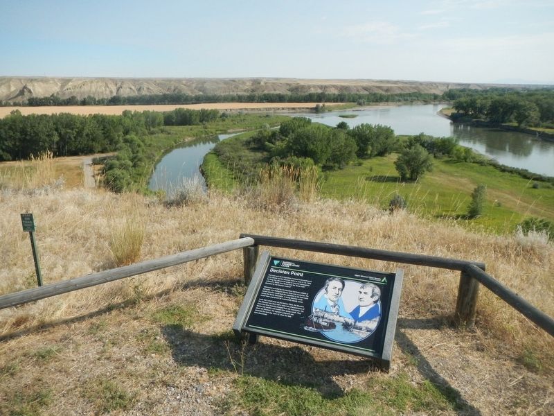
Decision Point
Information provided by the Mandans had been reliable to this point. But finding the Marias Ever was a surprise. The correct decision would lead the expedition to the best route across the Rocky Mountains. A wrong decision could strand them unprepared for a potentially deadly winter.
Lewis led a small party up the Marias; Clark, the Missouri. The Missouri was clear with a rocky bed, characteristics of rivers that have recently emerged from the mountains. The Marias was swollen and muddy from spring runoff. They chose the Missouri. The captains' judgement was rewarded the next day, when the falls were discovered.
Erected by Bureau of Land Management and National Conservation Lands.
Topics and series. This historical marker is listed in this topic list: Exploration. In addition, it is included in the Lewis & Clark Expedition series list. A significant historical year for this entry is 1805.
Location. 47° 55.518′ N, 110° 29.715′ W. Marker is near Loma, Montana, in Chouteau County. Marker can be reached from Loma Ferry Road near Curlew Trail. Touch for map. Marker is in this post office area: Loma MT 59460, United States of America. Touch for directions.
Other nearby markers. At least 8 other markers are within 4 miles of this marker, measured as the crow flies. Fort Piegan (within shouting distance of this marker); Ophir (about 400 feet away, measured in a direct line); Lewis and Clark National Historic Trail (about 700 feet away); a different marker also named Decision Point (about 800 feet away); The Manitoba Railroad (approx. 0.9 miles away); Marias River (approx. 0.9 miles away); Victims of Blood Indian Massacre (approx. 0.9 miles away); A Montana Crossroads (approx. 3.3 miles away). Touch for a list and map of all markers in Loma.
Regarding Decision Point. The marker is located on the foot-trail taking off from the Decision Point parking lot.
Credits. This page was last revised on December 5, 2020. It was originally submitted on December 5, 2020, by Barry Swackhamer of Brentwood, California. This page has been viewed 263 times since then and 48 times this year. Photos: 1, 2. submitted on December 5, 2020, by Barry Swackhamer of Brentwood, California.

