Firesteel in Dewey County, South Dakota — The American Midwest (Upper Plains)
Firesteel
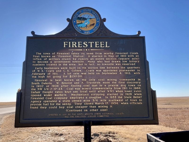
Early businesses were built on the section line between the quarters of W.E. Coats and C.A. Golden. Coats was appointed postmaster in February of 1911. A lot sale was held on September 4, 1912, with the high lot going for $250.00.
Firesteel is best known as the only coal mining community in South Dakota. W. Benoist and A. Traversie made the first discovery in 1907 or 1908 after finding coal dust in a prairie dog town on the NW 1/4-7-17-23. Coal was mined commercially from 1911 to 1968. Unfair freight rates kept use local until after WWI when lower rates opened wider markets. Mechanized stripping started in 1929 when Firesteel Coal Company employed a dragline. In 1933 the State Relief Agency operated a state owned mine 3/4 mile southwest of town to provide fuel for the needy. They closed March 17, 1934, when officials found they could buy coal cheaper than mining it.
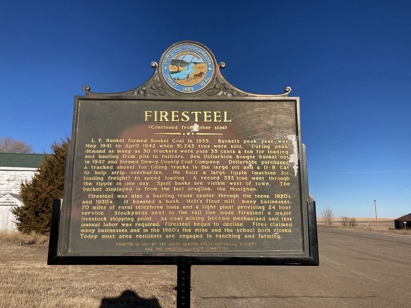
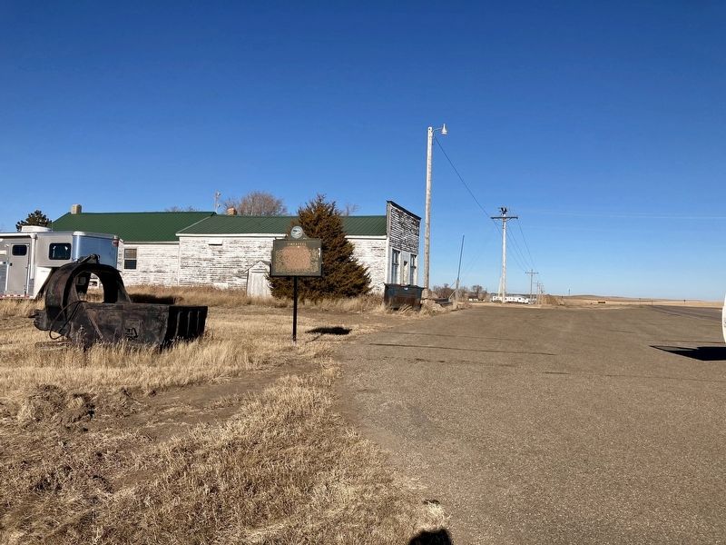
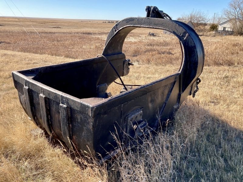
L.P. Runkel formed Runkel Coal in 1935. Runkel’s peak year was May 1941 to April 1942 when 51,743 tons were sold. During peak demand as many as 30 truckers were paid 35 cents a ton for loading and hauling from pits to railcars. Ben Dollarhide bought Runkel out in 1947 and formed Dewey County Coal Company. Dollarhide purchased a tracked shovel for filling trucks in the large pit and a D-8 Cat to help strip overburden. He built a large tipple (machine for loading freight) to speed loading. A record 552 tons went through the tipple in one day. Spoil banks are visible west of town. The bucket displayed is from the last dragline, the Monighan.
Firesteel was also a bustling trade center through the teens, 1920's, and 1930's. It boasted a bank, Holt’s flour mill, many businesses, 70 miles of rural telephone lines and a light plant providing 24 hour service. Stockyards next to the rail line made Firesteel a major livestock shipping point. As coal mining mechanized and less manual labor was required, Firesteel began to decline. Fires claimed many businesses and in the 1960's the mine and the school both closed. Today most of the area residents are engaged in ranching and farming.
Erected 1991 by the South Dakota State Historical Society and the Firesteel Jubilee Committee. (Marker Number 539.)
Topics and series. This historical marker is listed in these topic lists: Industry & Commerce • Railroads & Streetcars • Settlements & Settlers. In addition, it is included in the South Dakota State Historical Society Markers series list. A significant historical month for this entry is May 1910.
Location. 45° 25.501′ N, 101° 17.137′ W. Marker is in Firesteel, South Dakota, in Dewey County. Marker is on South Dakota Route 20, 0.3 miles south of County Road 3, on the right when traveling south. Touch for map. Marker is at or near this postal address: 13638 SD-20, Isabel SD 57633, United States of America. Touch for directions.
Also see . . . Wikipedia page on Firesteel. (Submitted on January 11, 2021, by Connor Olson of Kewaskum, Wisconsin.)
Credits. This page was last revised on June 15, 2022. It was originally submitted on December 5, 2020, by Connor Olson of Kewaskum, Wisconsin. This page has been viewed 339 times since then and 91 times this year. Photos: 1, 2, 3, 4. submitted on December 5, 2020, by Connor Olson of Kewaskum, Wisconsin. • Mark Hilton was the editor who published this page.


