Marker Logo HMdb.org THE HISTORICAL
MARKER DATABASE
“Bite-Size Bits of Local, National, and Global History”
Vivian in Lyman County, South Dakota — The American Midwest (Upper Plains)
 

World's Only Corn Palace - Mitchell


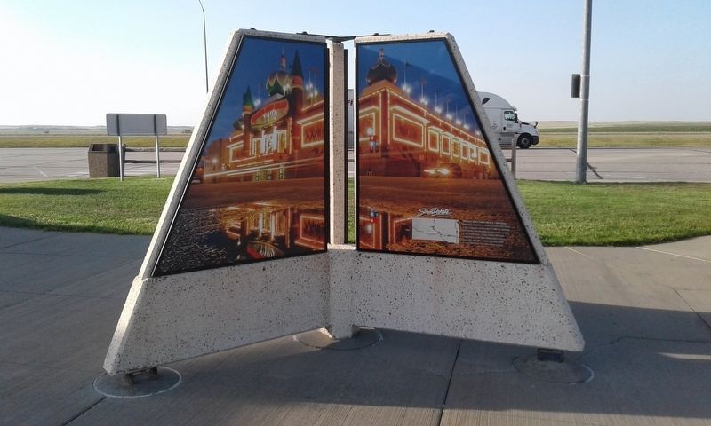
World's Only Corn Palace - Mitchell Marker image. Click for full size.
Photographed By Craig Doda, September 1, 2018
1. World's Only Corn Palace - Mitchell Marker
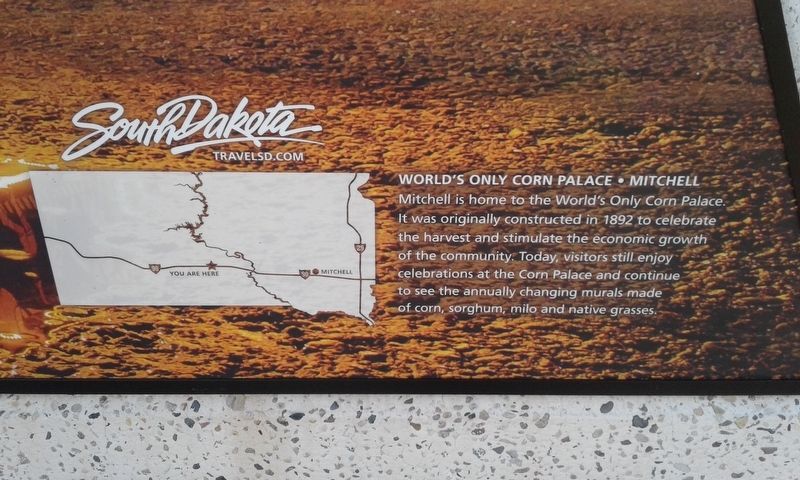
Inscription. Mitchell is home to the World's Only Corn Palace. It was originally constructed in 1892 to celebrate the harvest and stimulate the economic growth of the community. Today, visitors can still enjoy celebrations at the Corn Palace and can continue to see the annually changing murals made of corn, sorghum, milo and native grasses.
 
Topics. This historical marker is listed in this topic list: Notable Places. A significant historical year for this entry is 1892.
 
Location. 43° 54.691′ N, 100° 11.981′ W. Marker is in Vivian, South Dakota, in Lyman County. Marker is on I-90 E, on the right when traveling east. Touch for map. Marker is in this post office area: Vivian SD 57576, United States of America. Touch for directions.
 
Other nearby markers. At least 6 other markers are within 8 miles of this marker, measured as the crow flies. Medicine Creek Rest Area (a few steps from this marker); Civilian Conservation Corps Camp (a few steps from this marker); Purple Heart Memorial Highway (a few steps from this marker); a different marker also named Medicine Creek Rest Area (approx. 2.7 miles away); How Come They Called it Presho (approx. 7.2 miles away); Lyman County, South Dakota Veterans Memorial (approx. 7.2 miles away).
 
Paid Advertisement
Click on the ad for more information.
Please report objectionable advertising to the Editor.
Click or scan to see
this page online
World's Only Corn Palace - Mitchell Marker image. Click for full size.
Photographed By Craig Doda, September 1, 2018
2. World's Only Corn Palace - Mitchell Marker
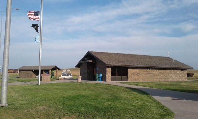
Medicine Creek Rest Area image. Click for full size.
Photographed By Craig Doda, September 1, 2018
3. Medicine Creek Rest Area
 
 
Credits. This page was last revised on December 12, 2020. It was originally submitted on December 6, 2020, by Craig Doda of Napoleon, Ohio. This page has been viewed 68 times since then and 5 times this year. Photos:   1, 2, 3. submitted on December 6, 2020, by Craig Doda of Napoleon, Ohio. • Bill Pfingsten was the editor who published this page.
Share this page.  
Share on Tumblr
m=161881

CeraNet Cloud Computing sponsors the Historical Marker Database.
This website earns income from purchases you make after using our links to Amazon.com. We appreciate your support.
Paid Advertisement
Apr. 25, 2024