Old Bennington in Bennington County, Vermont — The American Northeast (New England)
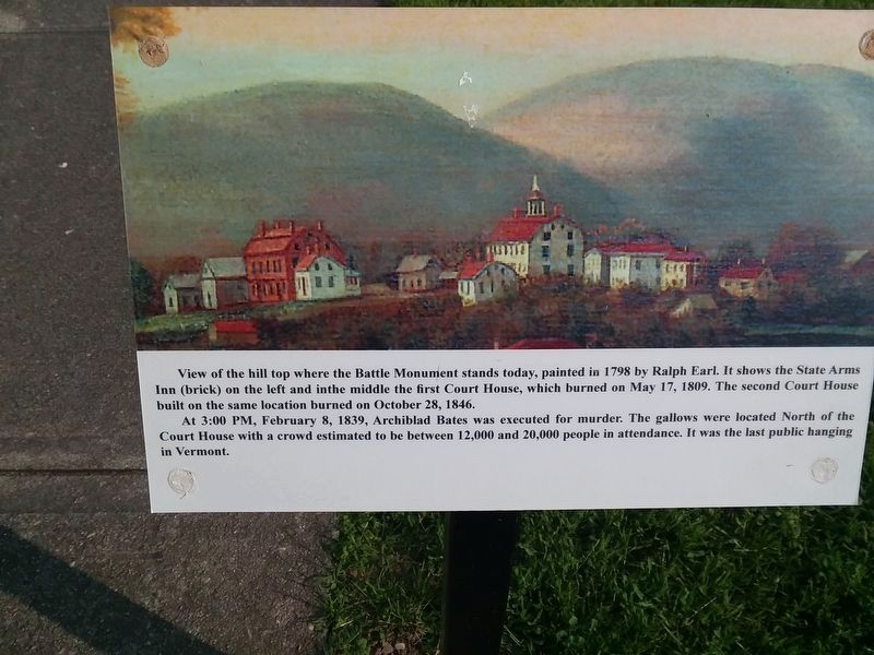
View of the Hill Top
View of the hill top where the Battle Monument stands today, painted in 1798 by Ralph Earl. It shows the State Arms Inn (brick) on the left and in the middle the first Court House, which burned on May 17, 1809. The second Court House built on the same location burned on October 28, 1846.
At 3:00 PM, February 8, 1839, Archiblad Bates was executed for murder. The gallows were located North of the Court House with a crowd estimated to be between 12,000 and 20,000 people in attendance. It was the last public hanging in Vermont.
Topics. This historical marker is listed in these topic lists: Architecture • Military • Notable Places. A significant historical date for this entry is February 8, 1839.
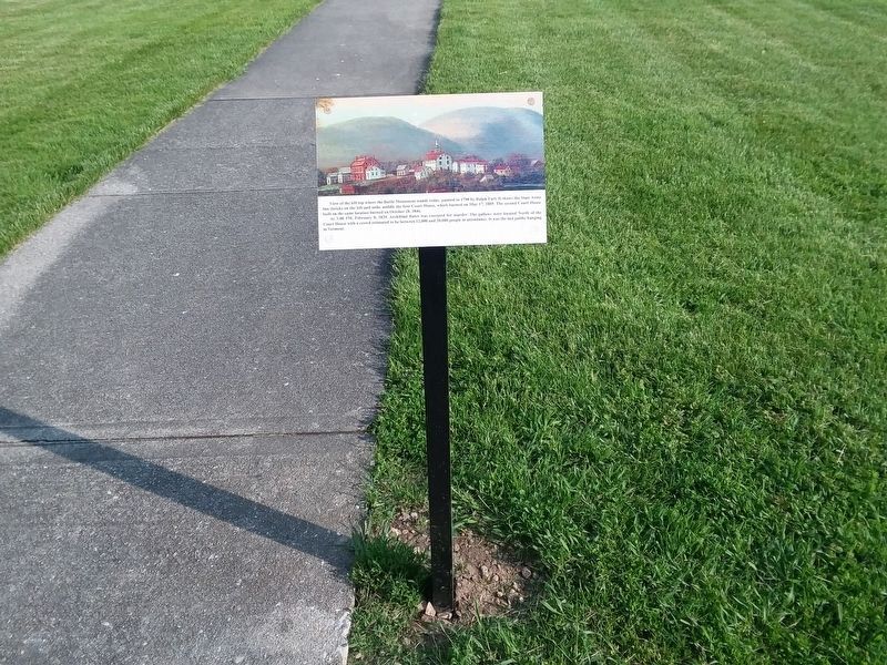
Location. 42° 53.321′ N, 73° 12.923′ W. Marker is in Bennington, Vermont, in Bennington County. It is in Old Bennington. Marker is at the intersection of Monument Avenue and Monument Circle, in the median on Monument Avenue. Located at the Bennington Battle Monument. Touch for map. Marker is at or near this postal address: 1 Monument Avenue, Bennington VT 05201, United States of America. Touch for directions.
Other nearby markers. At least 8 other markers are within walking distance of this marker. Colonel Seth Warner (a few steps from this marker); Before the Battle Monument (within shouting distance of this marker); New Hampshire at the Battle of Bennington (within shouting distance of this marker); Anthony Haswell (within shouting distance of this marker); Battle of Bennington (about 300 feet away, measured in a direct line); Continental Storehouse Site (about 300 feet away); John Stark (about 300 feet away); Captain Samuel Robinson (approx. 0.2 miles away). Touch for a list and map of all markers in Bennington.
Also see . . . Ralph Earl (Wikipedia). (Submitted on December 11, 2020, by Michael Herrick of Southbury, Connecticut.)
Credits. This page was last revised on February 16, 2023. It was originally submitted on December 6, 2020, by Craig Doda of Napoleon, Ohio. This page has been viewed 156 times since then and 25 times this year. Photos: 1, 2. submitted on December 6, 2020, by Craig Doda of Napoleon, Ohio. • Michael Herrick was the editor who published this page.

