Rush in Marion County, Arkansas — The American South (West South Central)
Four-footed Link
Buffalo National River
— National Park Service, U.S. Department of the Interior —
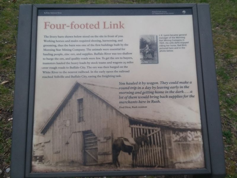
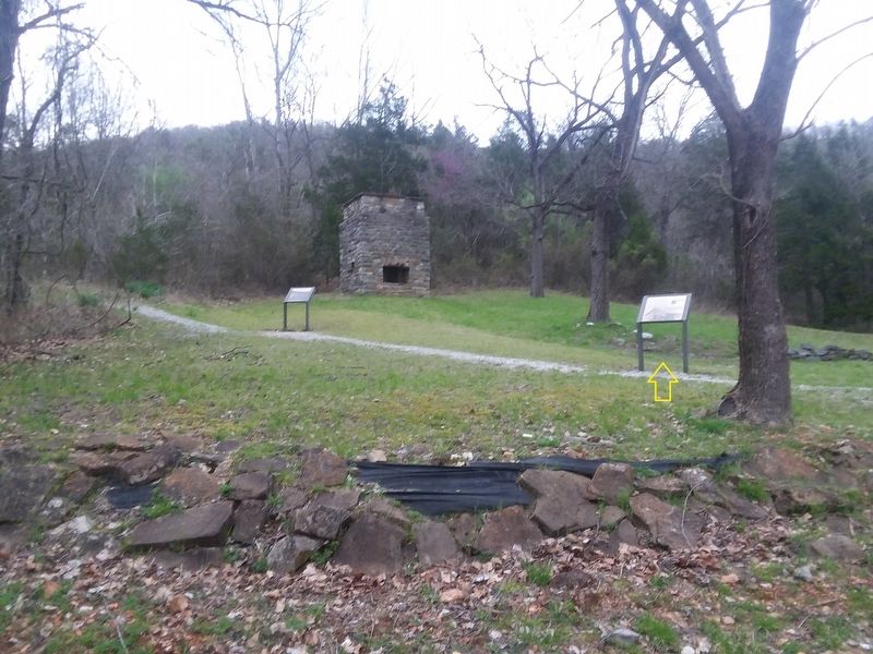
The livery barn shown below stood on the site in front of you. Working horses and mules required shoeing, harnessing, and grooming, thus the barn was one of the first buildings built by the Morning Star Mining Company. The animals were essential for hauling people, zinc ore, and supplies. Buffalo River was too shallow to barge the ore, and quality roads were few. To get the ore to buyers, teamsters hauled the heavy loads by stock teams and wagons 25 miles over rough roads to Buffalo City. The ore was then barged on the White River to the nearest railhead. In the early 1900s the railroad reached Yellville and Buffalo City, easing the freighting task.
[Caption:]
J. K. Lyons became general manager of the Morning Star Mining Company in 1925. His wife (left) enjoyed riding her horse, Red Bird, pictured here and in the photo below.
You hauled it by wagon. They could make a round trip in a day by leaving early in the morning and getting home in the dark....a lot of them would bring back supplies for the merchants here in Rush.
Fred Dirst, Rush resident
Erected by National Park Service, U.S. Department of the Interior.
Topics. This historical marker is listed in these topic lists: Animals • Industry & Commerce. A significant historical year for this entry is 1925.
Location. 36° 7.884′ N, 92° 34.165′ W. Marker is in Rush, Arkansas, in Marion County. Marker is on County Road 6035, 0.2 miles east of County Road 637, on the left when traveling east. Touch for map. Marker is in this post office area: Rush AR 57174, United States of America. Touch for directions.
Other nearby markers. At least 8 other markers are within walking distance of this marker. Silver-lined Dreams (here, next to this marker); Company Village (within shouting distance of this marker); Town Hub (within shouting distance of this marker); Mining Turkey Fat and Rosin Jack (within shouting distance of this marker); Company Store and Office (within shouting distance of this marker); Break It, Remake It (within shouting distance of this marker); Rush, The Town That Zinc Built (within shouting distance of this marker); 200 Tons A Day (within shouting distance of this marker). Touch for a list and map of all markers in Rush.
Also see . . . Rush (Ghost Town). (Submitted on December 6, 2020, by Craig Doda of Napoleon, Ohio.)
Credits. This page was last revised on December 6, 2020. It was originally submitted on December 6, 2020, by Craig Doda of Napoleon, Ohio. This page has been viewed 138 times since then and 18 times this year. Photos: 1, 2. submitted on December 6, 2020, by Craig Doda of Napoleon, Ohio. • Devry Becker Jones was the editor who published this page.

