Near Rockerville in Pennington County, South Dakota — The American Midwest (Upper Plains)
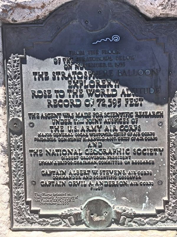
Explorer II
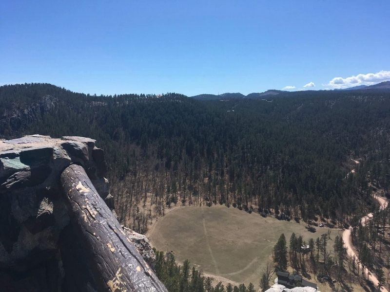
of the Stratobowl below
on November 11, 1935
The Stratosphere Balloon
Explorer II
rose to the world altitude
record of 72,395 feet
under the joint auspices of
The U.S. Army Air Corps
Major General Oscar Westover, Chief of Air Corps
Brigadier General Henry H. Arnold, Asst. Chief of Air Corps
and
the National Geographic Society
Gilbert Grosvenor, President
Lyman J. Briggs, Chairman, Committee on Research
Commander and scientific observer
Captain Orvil A. Anderson, Air Corps
Pilot
This Plaque dedicated on
the Twentieth Anniversary of
the Flight of Explorer II
November 11, 1955
Erected 1955.
Topics. This historical marker is listed in this topic list: Air & Space. A significant historical date for this entry is November 11, 1935.
Location. 43° 58.747′ N, 103° 20.601′ W. Marker is near Rockerville, South
Other nearby markers. At least 8 other markers are within 9 miles of this marker, measured as the crow flies. Sheridan (approx. 7.1 miles away); Gutzon Borglum (approx. 7.4 miles away); Civilian Conservation Corps Camp (approx. 7.9 miles away); a different marker also named Gutzon Borglum (approx. 8.7 miles away); Rapid City Founders Camp Site (approx. 8.8 miles away); The Eagles (approx. 8.8 miles away); The Pigtail Bridges (approx. 8.9 miles away); Rapid Creek Flood Mark (approx. 8.9 miles away).
Also see . . . Wikipedia article on the Explorer II. (Submitted on December 6, 2020.)
Credits. This page was last revised on December 6, 2020. It was originally submitted on December 6, 2020, by Connor Olson of Kewaskum, Wisconsin. This page has been viewed 130 times since then and 17 times this year. Photos: 1, 2. submitted on December 6, 2020, by Connor Olson of Kewaskum, Wisconsin. • Mark Hilton was the editor who published this page.

