Bowman in Louisville in Jefferson County, Kentucky — The American South (East South Central)
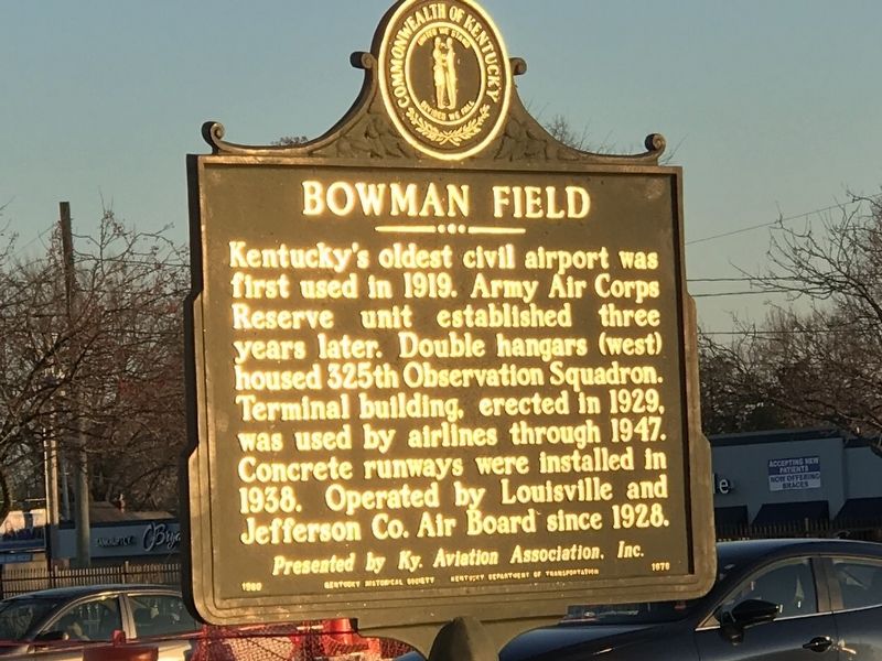
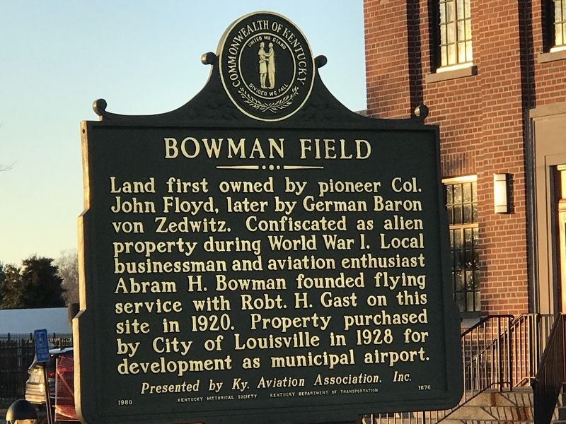
Bowman Field
Land first owned by pioneer Col. John Floyd, later by German Baron von Zedwitz. Confiscated as alien property during World War I. Local businessman and aviation enthusiast Abram H. Bowman founded flying service with Robt. H. Gast on this site in 1920. Property purchased by City of Louisville in 1928 for development as municipal airport.
Erected 1980 by Kentucky Historical Society and Kentucky Department of Transportation. (Marker Number 1676.)
Topics and series. This historical marker is listed in these topic lists: Air & Space • Industry & Commerce • War, World I. In addition, it is included in the Kentucky Historical Society series list. A significant historical year for this entry is 1919.
Location. 38° 13.4′ N, 85° 39.981′ W. Marker is in Louisville, Kentucky, in Jefferson County. It is in Bowman. Marker can be reached from Taylorsville Road (State Road 155), on the right when traveling west. Marker is in parking lot in front of administration building. Touch for map. Marker is at or near this postal address: 2815 Taylorville Road, Louisville KY 40205, United States of America. Touch for directions.
Other nearby markers. At least 8 other markers are within walking distance of this marker. The Cabin at Farmington (approx. 0.6 miles away); Agriculture & Farmington (approx. 0.6 miles away); Aero Club of Louisville (approx. 0.6 miles away); Abraham Lincoln & Farmington — 1841 (approx. 0.6 miles away); The Brothers Speed — Joshua and James (approx. 0.6 miles away); Bowman Field - East (approx. ¾ mile away); Farmington (approx. ¾ mile away); Rebecca Rosenthal Judah 1866-1932 / National Council of Jewish Women (approx. 0.9 miles away). Touch for a list and map of all markers in Louisville.
Also see . . . Bowman Field History | Louisville Muhammad Ali International Airport. From airport website. (Submitted on December 9, 2020, by Duane and Tracy Marsteller of Murfreesboro, Tennessee.)
Credits. This page was last revised on February 12, 2023. It was originally submitted on December 7, 2020, by Duane and Tracy Marsteller of Murfreesboro, Tennessee. This page has been viewed 346 times since then and 41 times this year. Photos: 1, 2. submitted on December 7, 2020, by Duane and Tracy Marsteller of Murfreesboro, Tennessee. 3. submitted on December 9, 2020, by Duane and Tracy Marsteller of Murfreesboro, Tennessee.


