Laurel Springs in Alleghany County, North Carolina — The American South (South Atlantic)
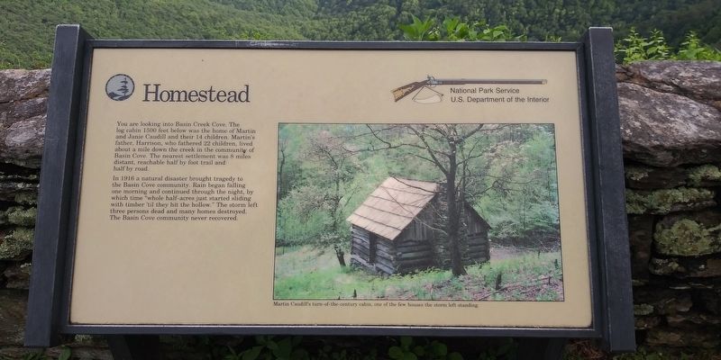
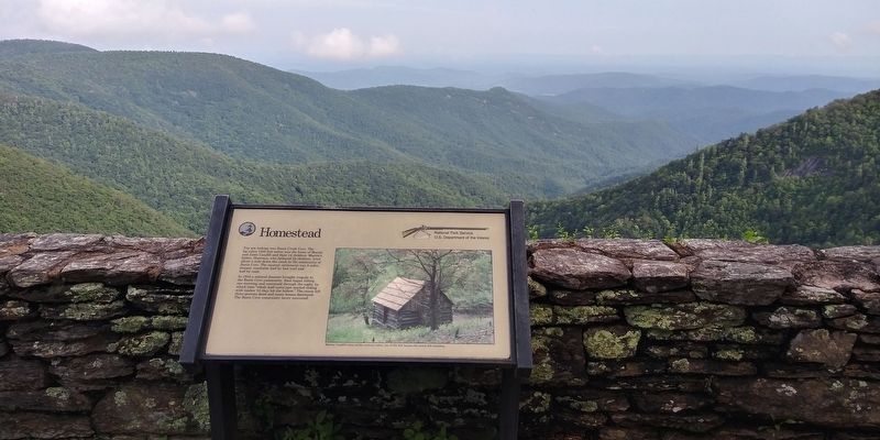
Homestead
— Blue Ridge Parkway —
In 1916 a natural disaster brought tragedy to the Basin Cove community. Rain began falling one morning and continued through the night, by which time "whole half-acres just started sliding with timber 'til they hit the hollow.” The storm left three persons dead and many homes destroyed. The Basin Cove community never recovered.
(caption)
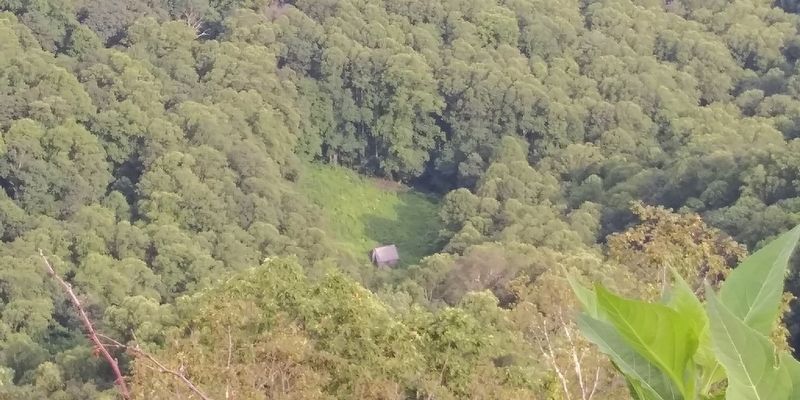
Martin Caudill's turn-of-the-century cabin, one of the few houses the storm left standing.
Erected by National Park Service, U.S. Department of the Interior.
Topics. This historical marker is listed in these topic lists: Architecture • Disasters • Settlements & Settlers.
Location. 36° 0′ N, 81° 10.509′ W. Marker is in Laurel Springs, North Carolina, in Alleghany County. Marker is on Blue Ridge Parkway, 7 miles east of State Highway 18, on the right when traveling east. Touch for map . Marker is in this post office area: Laurel Springs NC 28644, United States of America. Touch for directions.
Other nearby markers. At least 8 other markers are within 8 miles of this marker, measured as the crow flies. Confederate Monument (approx. 5.3 miles away); Picket's Charge (approx. 5.4 miles away); The Bell (approx. 5.4 miles away); Alexander County Veterans Memorial - World Wars I & II (approx. 5.4 miles away); Alexander County Veterans Memorial Bell Tower (approx. 5.4 miles away); Alexander County Veterans Memorial - Korea & Viet Nam (approx. 5.4 miles away); Hiddenite (approx. 7.8 miles away); Brantley York (approx. 7.9 miles away).
Also see . . . Blue Ridge Parkway NC, VA. National Park Service (Submitted on December 8, 2020.)
Credits. This page was last revised on December 8, 2020. It was originally submitted on December 8, 2020, by Craig Doda of Napoleon, Ohio. This page has been viewed 370 times since then and 45 times this year. Photos: 1, 2, 3, 4, 5. submitted on December 8, 2020, by Craig Doda of Napoleon, Ohio. • Bernard Fisher was the editor who published this page.
