Traphill in Wilkes County, North Carolina — The American South (South Atlantic)
Mountain Spring
| — | Blue Ridge Parkway | — |
Photographed by Craig Doda, July 24, 2020
1. Mountain Spring Marker
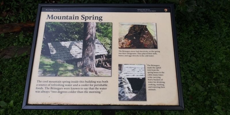
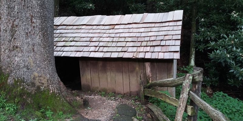
The cool mountain spring inside this building was both a source of refreshing water and a cooler for perishable foods. The Brinegars were known to say that the water was always "two degrees colder than the morning."
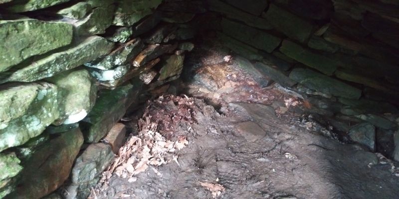
The Brinegars never had electricity, so the spring was their refrigerator. They placed their milk, butter, and eggs directly in the cold water.
The Brinegars made the uphill trek from the spring house to the cabin many times a day carrying heavy buckets of water for drinking, cooking, washing, and watering their animals.
Erected by National Park Service, U.S. Department of the Interior.
Topics. This historical marker is listed in this topic list: Settlements & Settlers.
Location. 36° 25.1′ N, 81° 8.733′ W. Marker is in Traphill, North Carolina, in Wilkes County. It can be reached from Blue Ridge Parkway 1.3 miles south of Airbellows Gap Road, on the left when traveling south. Touch for map. Marker is in this post office area: Traphill NC 28685, United States of America. Touch for directions.

Regionally, this marker is in the American South,
this page online
Other nearby markers. At least 8 other markers are within 2 miles of this marker, measured as the crow flies: Making Shoes (here, next to this marker); An Outdoor Pantry (within shouting distance of this marker); A Mountain Home (within shouting distance of this marker); Making Linsey-Woolsey (within shouting distance of this marker); The Brinegar Family (within shouting distance of this marker); Brinegar Cabin (about 300 feet away, measured in a direct line); Tillers of the Land - Then and Now (approx. 1½ miles away); Homestead (approx. 1.8 miles away). Touch for a list and map of all markers in Traphill.
Photographed by Craig Doda, July 24, 2020
2. Spring inside the spring house
Photographed by Craig Doda, July 24, 2020
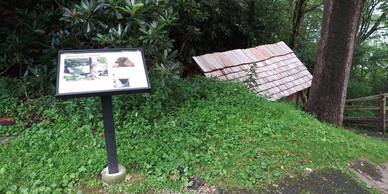
3. Mountain Spring Marker
Photographed by Craig Doda, July 24, 2020
4. Spring House
Credits. This page was last revised on December 8, 2020. It was originally submitted on December 8, 2020, by Craig Doda of Napoleon, Ohio. This page has been viewed 257 times since then and 15 times this year. Photos: 1, 2, 3, 4. submitted on December 8, 2020, by Craig Doda of Napoleon, Ohio. • Bernard Fisher was the editor who published this page.
