Gustine in Comanche County, Texas — The American South (West South Central)
Gustine
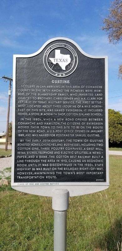
Settlers began arriving in this area of Comanche County in the 1870s. Among the pioneers were members of the Blankenship family, who inherited land granted to brothers Christopher and A.K. Clark for Republic of Texas military service. The first settlement, located about three-fourths of a mile north east of this site, was named Evergreen. It included homes, a store, blacksmith shop, cotton gin, and school.
In the 1880s, when a new road opened between Comanche and Hamilton, the citizens of Evergreen moved their town to this site to be on the route of the new road. A U.S. Post office opened in January 1888, and was named for postmaster Samuel Gustine.
By the early 20th century, the town of Gustine boasted homes, churches, and businesses, including two cotton gins. Three poultry companies, a grist mill, retail stores, telephone and electric utilities, a news-paper, and a bank. The cotton belt railway built a line through the area in 1910, causing an economic boom until it was discontinued in the 1930s. State highway 36 was built on the railroad right-of-way, however, maintaining the town's most important transportation route.
Class of 1942 and Gustine Natives
Erected 1992 by Texas Historical Commission. (Marker Number 6254.)
Topics. This historical marker is listed in these topic lists: Industry & Commerce • Settlements & Settlers. A significant historical month for this entry is January 1888.
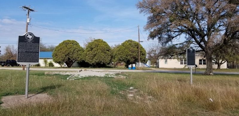
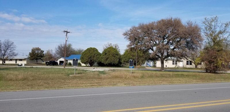
Location. 31° 50.739′ N, 98° 24.374′ W. Marker is in Gustine, Texas, in Comanche County. Marker is at the intersection of 36th Division Memorial Highway (State Highway 36) and West Main Street, on the left when traveling east on 36th Division Memorial Highway. Touch for map. Marker is in this post office area: Gustine TX 76455, United States of America. Touch for directions.
Other nearby markers. At least 8 other markers are within 12 miles of this marker, measured as the crow flies. Cora (here, next to this marker); Evergreen Cemetery (approx. 0.9 miles away); Hasse Community (approx. 8.4 miles away); Newburg Cemetery (approx. 8˝ miles away); South Leon Baptist Church (approx. 8˝ miles away); Lamkin (approx. 8.6 miles away); Site of Old Gill Farm (approx. 10.3 miles away); Andrew Miller (approx. 11˝ miles away). Touch for a list and map of all markers in Gustine.
Also see . . . Gustine Texas. The original settlement was called Evergreen and it was located about 3/4 of a mile to the northeast. (Submitted on December 9, 2020, by James Hulse of Medina, Texas.)
Credits. This page was last revised on December 10, 2020. It was originally submitted on December 9, 2020, by James Hulse of Medina, Texas. This page has been viewed 329 times since then and 47 times this year. Photos: 1, 2, 3. submitted on December 9, 2020, by James Hulse of Medina, Texas. • J. Makali Bruton was the editor who published this page.


