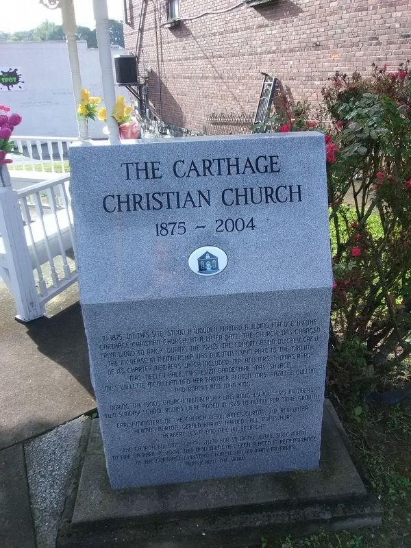
The Carthage Christian Church
1875-2004
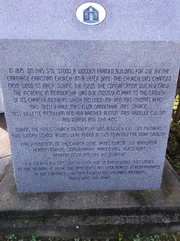
In 1875 on this site, stood a wooden framed building for use by the Carthage Christian Church at a later date. The church was changed from wood to brick during the 1920's, the congregation quickly grew. The increase in membership was due mostly in part to the growth of its charter members which included Mr. and Mrs. Thomas read, Mrs. Neeley Hale, Mrs. Eliza Gardenhire, Mrs Savage, Miss Willette Memillian and her brother Benton, Mrs. Razillee Cullom and Robert and John King.
During the 1900's church membership was roughly 100 - 125 members. Two Sunday school rooms were added in 1925 to allow for more growth.
Early ministers of the church were, James Gupton, J.W. Rainwater, Herman Norton, Gerald Harris, Harold Hall, Rufus Hurt, Herbert Leslie, and Neil Housewright.
The church building which stood for so many years succumbed
to fire on April 8, 2004. This monument has been placed in remembrance
of the Carthage, Christian Church and its many members
throughout the years.
Topics. This historical marker is listed in this topic list: Churches & Religion. A significant historical date for this entry is April 8, 2004.
Location. 36° 15.189′ N, 85° 57.1′ W. Marker is in Carthage, Tennessee, in Smith County. Marker is at the intersection of Main Street North and East Ward Avenue, on the
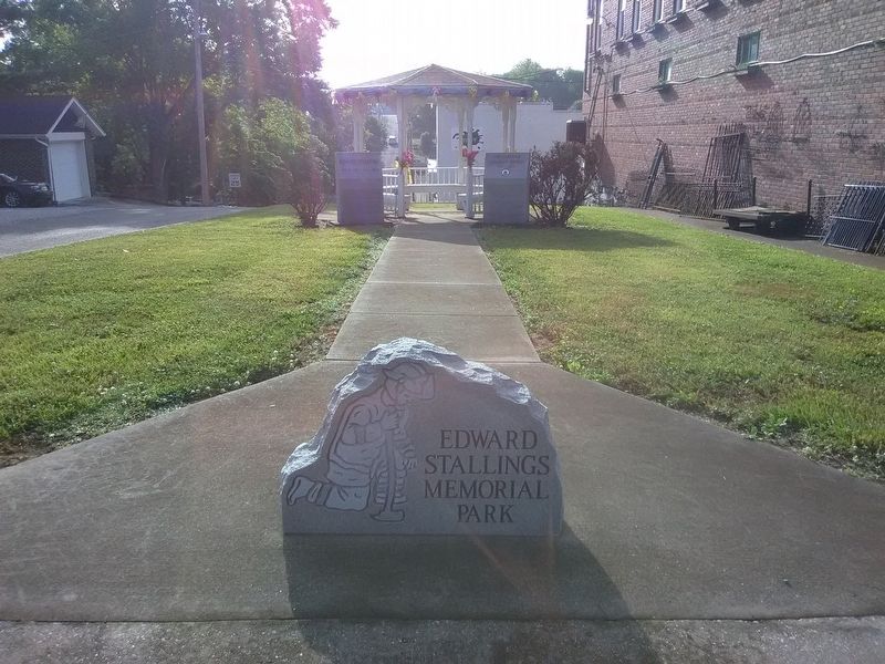
Other nearby markers. At least 8 other markers are within walking distance of this marker. Edward Stallings (here, next to this marker); DeFord Bailey (about 500 feet away, measured in a direct line); Smith County Veterans Memorial (about 600 feet away); Benton McMillin (about 700 feet away); Captain William Walton (about 700 feet away); Smith County Courthouse Square (about 700 feet away); Bragg Invades Kentucky (about 800 feet away); Confederacy Memorial (about 800 feet away). Touch for a list and map of all markers in Carthage.
Credits. This page was last revised on December 12, 2020. It was originally submitted on December 11, 2020, by Craig Doda of Napoleon, Ohio. This page has been viewed 185 times since then and 18 times this year. Photos: 1, 2, 3. submitted on December 11, 2020, by Craig Doda of Napoleon, Ohio. • Devry Becker Jones was the editor who published this page.


