1972 Sacramento Canadair Sabre Accident Memorial
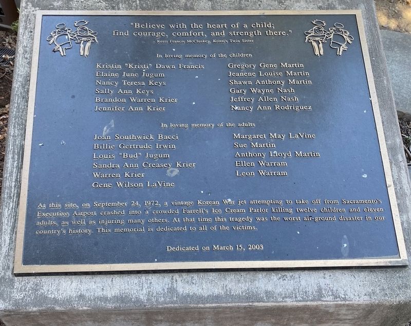
"Believe with the heart of a child; find courage, comfort, and strength there."
- Kerri Francis McCluskey, Kristi's Twin Sister
In loving memory of the children
Kristin "Kristi” Dawn Francis · Elaine June Jugum · Nancy Teresa Keys · Sally Ann Keys · Brandon Warren Krier · Jennifer Ann Krier · Gregory Gene Martin · Jeanene Louise Martin · Shawn Anthony Martin · Gary Wayne Nash · Jeffrey Allen Nash · Nancy Ann Rodriguez
In loving memory of the adults
Joan Southwick Bacci · Billie Gertrude Irwin · Louis "Bud” Jugum · Sandra Ann Creasey Krier · Warren Krier · Gene Wilson LaVine · Margaret May LaVine · Sue Martin · Anthony Lloyd Martin · Ellen Warram · Leon Warram
At this site, on September 24, 1972, a vintage Korean War jet attempting to take off from Sacramento's
Executive Airport crashed into a crowded Farrell's Ice Cream Parlor killing twelve children and eleven
adults, as well as injuring many others. At that time this tragedy was the worst air-ground disaster in our
country's history. This memorial is dedicated to all of the victims.
Erected 2003.
Topics. This historical marker and memorial is listed in these topic lists: Air & Space • Disasters. A significant historical date for this entry is September 24, 1972.
Location.
Other nearby markers. At least 8 other markers are within 3 miles of this marker, measured as the crow flies. Sacramento County WW I Veterans Memorial (approx. 1.1 miles away); Camp Union Sutterville (approx. 1.2 miles away); Spencer Hoofed Animal Complex (approx. 1.2 miles away); Sutterville Brewery (approx. 1.2 miles away); Memorial Grove (approx. 1.4 miles away); Petrovich Family Playfields (approx. 2 miles away); 4th Avenue / Wayne Hultgren Light Rail Station (approx. 2.2 miles away); U.S.S. Maine (approx. 2.7 miles away). Touch for a list and map of all markers in Sacramento.
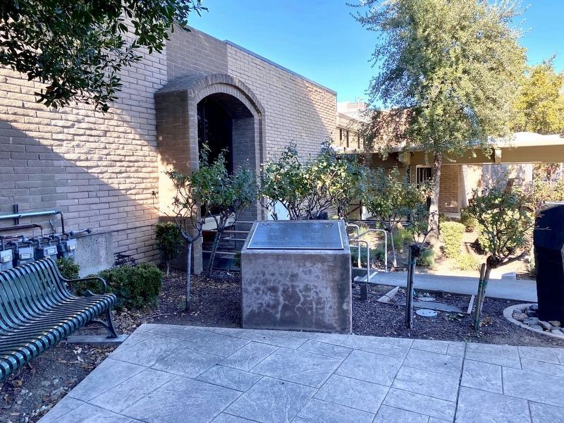
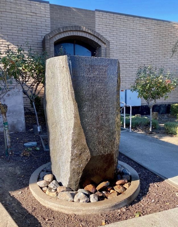
More about this memorial. The memorial is not really visible from the street, as it is located in a sort of alcove and only readily visible when one is already in the parking lot in front.
Also see . . .
1. 1972 Sacramento Canadair Sabre accident (Wikipedia). "On September 24, 1972, a privately owned Canadair Sabre Mk. 5 jet, piloted by Richard Bingham, failed to take off while leaving the "Golden West Sport Aviation Air
2. Somber event recalls Farrell's jet-crash disaster (Sacramento Bee, Sept. 24, 2012). (Submitted on December 12, 2020.)
3. The Farrell's Ice Cream Parlour Disaster | A Short Documentary. A YouTube historian's account of the accident. (Submitted on June 8, 2021.)
Credits. This page was last revised on February 7, 2023. It was originally submitted on December 12, 2020, by Andrew Ruppenstein of Lamorinda, California. This page has been viewed 528 times since then and 78 times this year. Photos: 1, 2, 3. submitted on December 12, 2020, by Andrew Ruppenstein of Lamorinda, California.


