Farmington Hills in Oakland County, Michigan — The American Midwest (Great Lakes)
Aldrich House
Inscription.
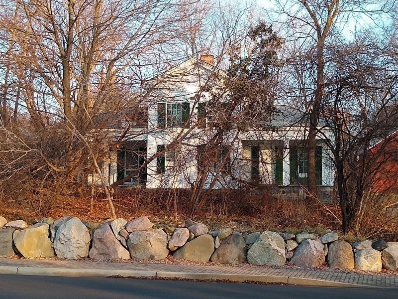
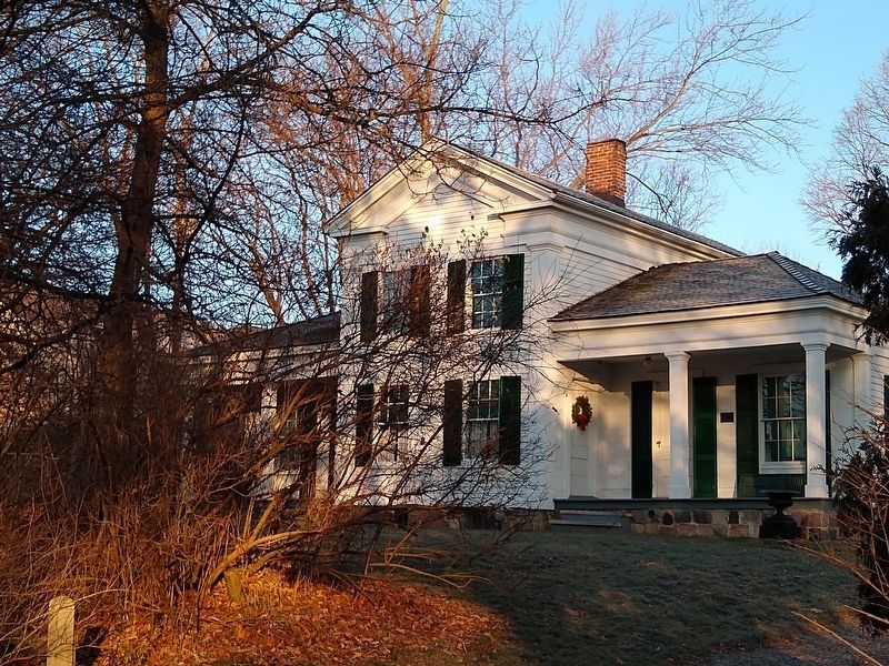
Royal Aldrich, a native of Farmington, New York, built this two-story Greek Revival farmhouse around 1840. His father, Esek, had purchased the 320-acre site from the United States government in 1823. Esek never lived here, but sold the property to Royal, who settled here in 1839. The house retains its original clapboard siding, interior woodwork, doors and hardware. It is supported by fourteen-inch to sixteen-inch walnut beams and a cobblestone basement foundation.
Erected 1982 by Michigan Historical Commission. (Marker Number L953.)
Topics and series. This historical marker is listed in these topic lists: Architecture • Settlements & Settlers. In addition, it is included in the Michigan Historical Commission series list. A significant historical year for this entry is 1840.
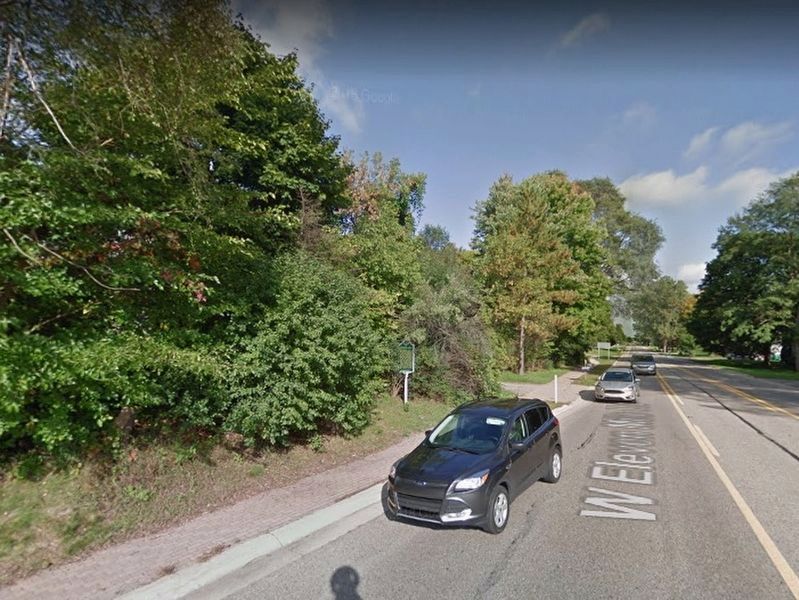
Location. Marker has been reported missing. It was located near 42° 29.078′ N, 83° 21.398′ W. Marker was in Farmington Hills, Michigan, in Oakland County. Marker could be reached from West Eleven Mile Road east of Orchard Lake Road, on the left when traveling east. Touch for map. Marker was at or near this postal address: 31110 West Eleven Mile Road, Farmington MI 48334, United States of America. Touch for directions.
Other nearby markers. At least 8 other markers are within 2 miles of this location, measured as the crow flies. Pasadena Park (approx. 0.2 miles away); The Philbrick Tavern (approx. 0.6 miles away); Where Farmington Began (approx. 0.6 miles away); Nardin Park United Methodist Church (approx. ¾ mile away); McCabe Funeral Home (approx. 1.1 miles away); Samuel Davis House (approx. 1.2 miles away); "The Stuart Little Pond" (approx. 1.2 miles away); Spicer Barn (approx. 1.3 miles away). Touch for a list and map of all markers in Farmington Hills.
Also see . . . Royal Aldrich House. Wikipedia article about the house. (Submitted on December 12, 2020, by Joel Seewald of Madison Heights, Michigan.)
Credits. This page was last revised on December 12, 2020. It was originally submitted on December 12, 2020, by Joel Seewald of Madison Heights, Michigan. This page has been viewed 321 times since then and 41 times this year. Photos: 1, 2, 3. submitted on December 12, 2020, by Joel Seewald of Madison Heights, Michigan.
Editor’s want-list for this marker. Close up view of the marker. • Can you help?


