Near Washburn in McLean County, North Dakota — The American Midwest (Upper Plains)
Fort Mandan
Lewis & Clark in North Dakota
— McLean County —
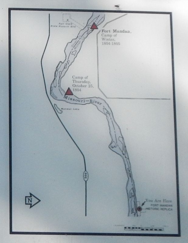
Named for the nearby Indians, Fort Mandan was winter quarters for the Lewis and Clark Expedition. Sited by Captain Clark on November 2, 1804, the fort was built in a triangular shape from cottonwood logs cut in the vicinity; the walls chinked with mud. Huts housing men and supplies formed two sides, and the third was blockaded by "amazing long pickets." The men occupied their unfinished buildings on November 16, and the two captains moved into theirs four days later. To this fort came many visitors, among them Toussaint Charbonneau and Sakakawea. The captains passed the winter by learning as much as possible about the Missouri River tribes and the country that lay before them. Tools and equipment were mended for the Mandans in exchange for foodstuffs. On April 7, 1805, the keelboat and 11 men were sent downriver under the command of Corporal Richard Warfington. That same day, the remainder of the cary (the 2 captains and 31 others) embarked up river in "six small cancers, and two large peroques."
Erected 2004 by North Dakota Lewis & Clark Bicentennial Foundation.
Topics and series. This historical marker is listed in these topic lists: Exploration • Forts and Castles . In addition, it is included in the Lewis & Clark Expedition series list. A significant historical date for this entry is November 2, 1804.
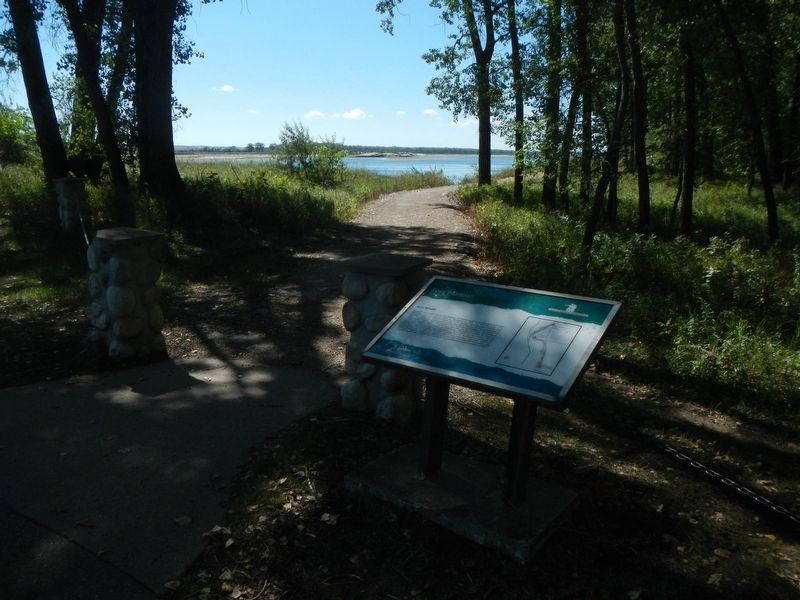
Location. 47° 17.849′ N, 101° 5.299′ W. Marker is near Washburn, North Dakota, in McLean County. Marker can be reached from 8th Street Southwest (County Road 17) near 29th Avenue Southwest (County Highway 23), on the left when traveling west. The marker is located at Fort Mandan State Recreation Area down near the Missouri River. Touch for map. Marker is in this post office area: Washburn ND 58577, United States of America. Touch for directions.
Other nearby markers. At least 8 other markers are within 3 miles of this marker, measured as the crow flies. Seaman (a few steps from this marker); Bicentennial Wagon Train Pilgrimage to Pennsylvania (about 500 feet away, measured in a direct line); Below the Freezing Point (about 500 feet away); a different marker also named Fort Mandan (about 500 feet away); Men of Worth (about 600 feet away); Mandan Winter / Harmony Park (approx. 2.2 miles away); Early Boats on the Missouri (approx. 2.3 miles away); The Washburn Plant (approx. 2.3 miles away). Touch for a list and map of all markers in Washburn.
Credits. This page was last revised on December 14, 2020. It was originally submitted on December 14, 2020, by Barry Swackhamer of Brentwood, California. This page has been viewed 148 times since then and 23 times this year. Photos: 1, 2, 3. submitted on December 14, 2020, by Barry Swackhamer of Brentwood, California.


