Sealy in Austin County, Texas — The American South (West South Central)
Sealy
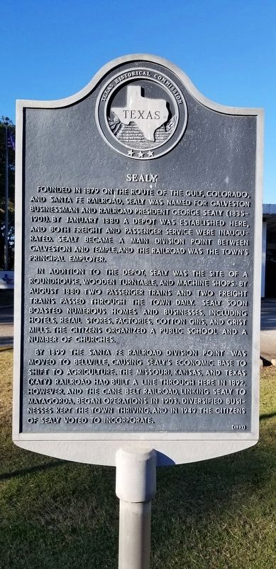
Founded in 1879 on the route of the Gulf, Colorado, and Santa Fe Railroad, Sealy was named for Galveston businessman and railroad president George Sealy (1835-1901). By January 1880 a depot was established here, and both freight and passenger service were inaugurated. Sealy became a main division point between Galveston and Temple, and the railroad was the town's principal employer.
In addition to the depot, Sealy was the site of a roundhouse, wooden turntable, and machine shops. By August 1880 two passenger trains and two freight trains passed through the town daily. Sealy soon boasted numerous homes and businesses, including hotels, retail stores, factories, cotton gins, and grist mills. The citizens organized a public school and a number of churches.
By 1899 the Santa Fe Railroad division point was moved to Bellville, causing Sealy's economic base to shift to agriculture. The Missouri, Kansas, and Texas (Katy) Railroad had built a line through here in 1892, however, and the Cane Belt Railroad, linking Sealy to Matagorda, began operations in 1903. Diversified businesses kept the town thriving, and in 1949 the citizens of Sealy voted to incorporate.
Erected 1991 by Texas Historical Commission. (Marker Number 4623.)
Topics. This historical marker is listed in these topic lists: Industry & Commerce • Railroads & Streetcars. A significant historical month for this entry is January 1880.
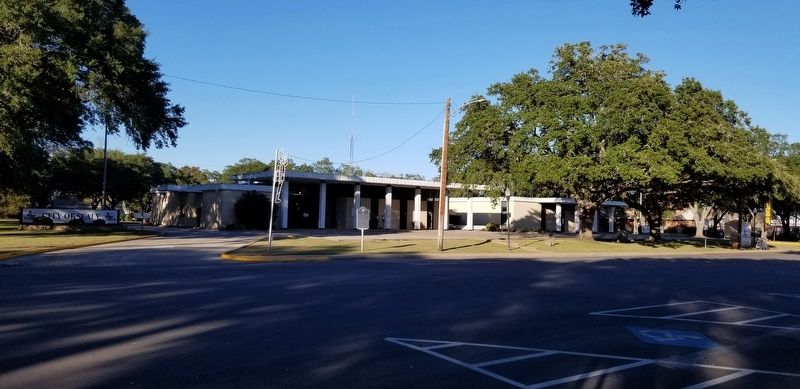
Location. 29° 46.839′ N, 96° 9.574′ W. Marker is in Sealy, Texas, in Austin County. Marker is at the intersection of Main Street and North Hardeman, on the right when traveling west on Main Street. The marker is located in front of the Sealy City Hall building by Main Street. Touch for map. Marker is at or near this postal address: 415 Main Street, Sealy TX 77474, United States of America. Touch for directions.
Other nearby markers. At least 8 other markers are within walking distance of this marker. Haynes-Felcman House (within shouting distance of this marker); Trinity Lutheran Church (about 600 feet away, measured in a direct line); Citizens State Bank (about 700 feet away); Haynes Mattress Factory (approx. 0.2 miles away); Preibisch Building (approx. 0.2 miles away); Paul and Mahala Hackbarth House (approx. ¼ mile away); Saint John's Episcopal Church (approx. ¼ mile away); Hackbarth Building (approx. ¼ mile away). Touch for a list and map of all markers in Sealy.
Also see . . .
1. Gulf, Colorado and Santa Fe Railway. The railroad was chartered on May 28, 1873, to build a railroad from Galveston to the interior of Texas without passing through Houston. Source: The Handbook of Texas (Submitted on December 14, 2020, by James Hulse of Medina, Texas.)
2. Sealy, Texas. The Handbook of Texas (Submitted on December 14, 2020, by James Hulse of Medina, Texas.)
Credits. This page was last revised on December 15, 2020. It was originally submitted on December 14, 2020, by James Hulse of Medina, Texas. This page has been viewed 210 times since then and 27 times this year. Photos: 1, 2. submitted on December 14, 2020, by James Hulse of Medina, Texas. • J. Makali Bruton was the editor who published this page.

